Paved Trail Rides
Hobsons Bay Coastal Trail
Loading map...
The route details are ready. The interactive map is loading separately.
Points of Interest
Points of interest load after the main route details so the page can appear faster.
Route Description
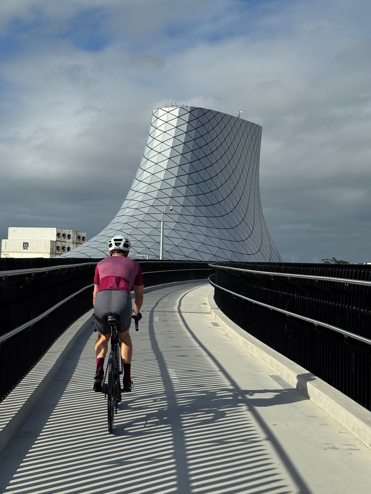
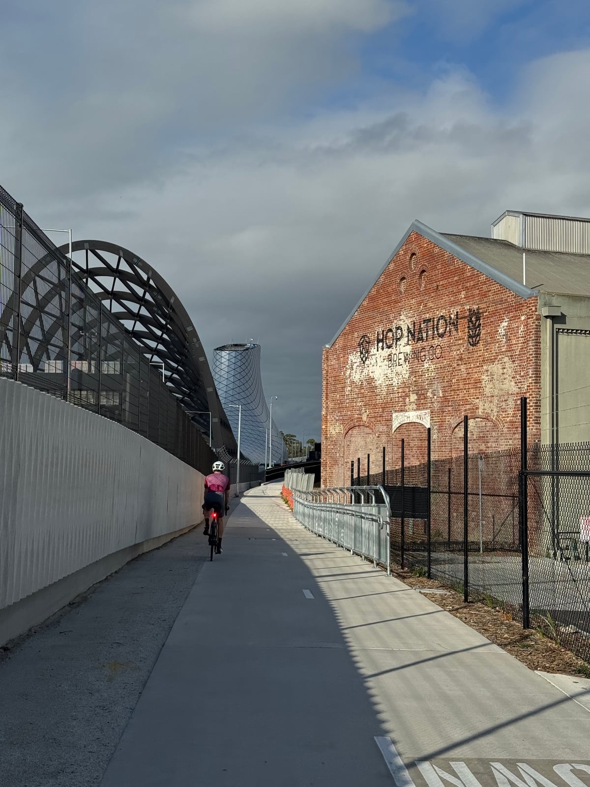
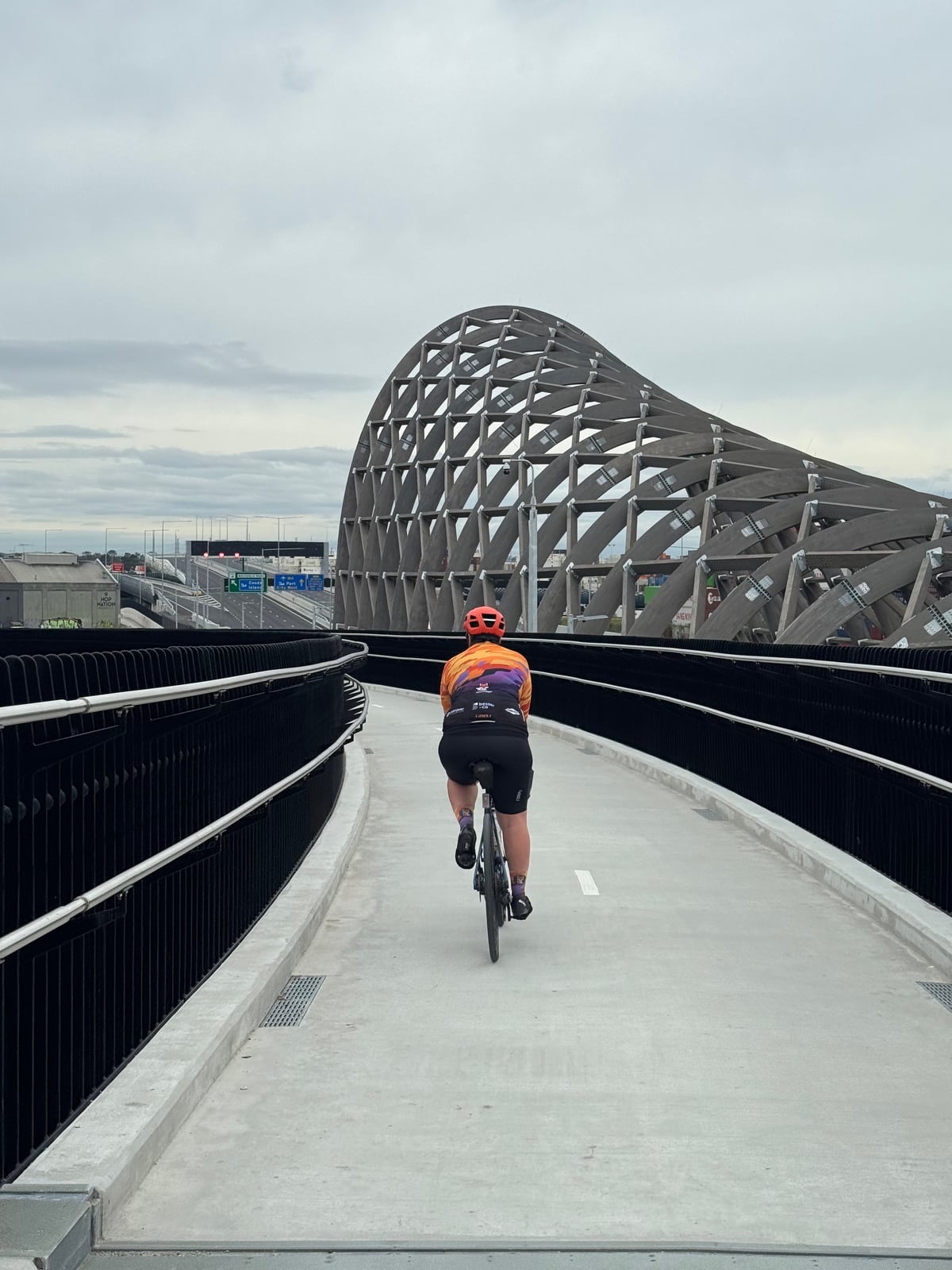
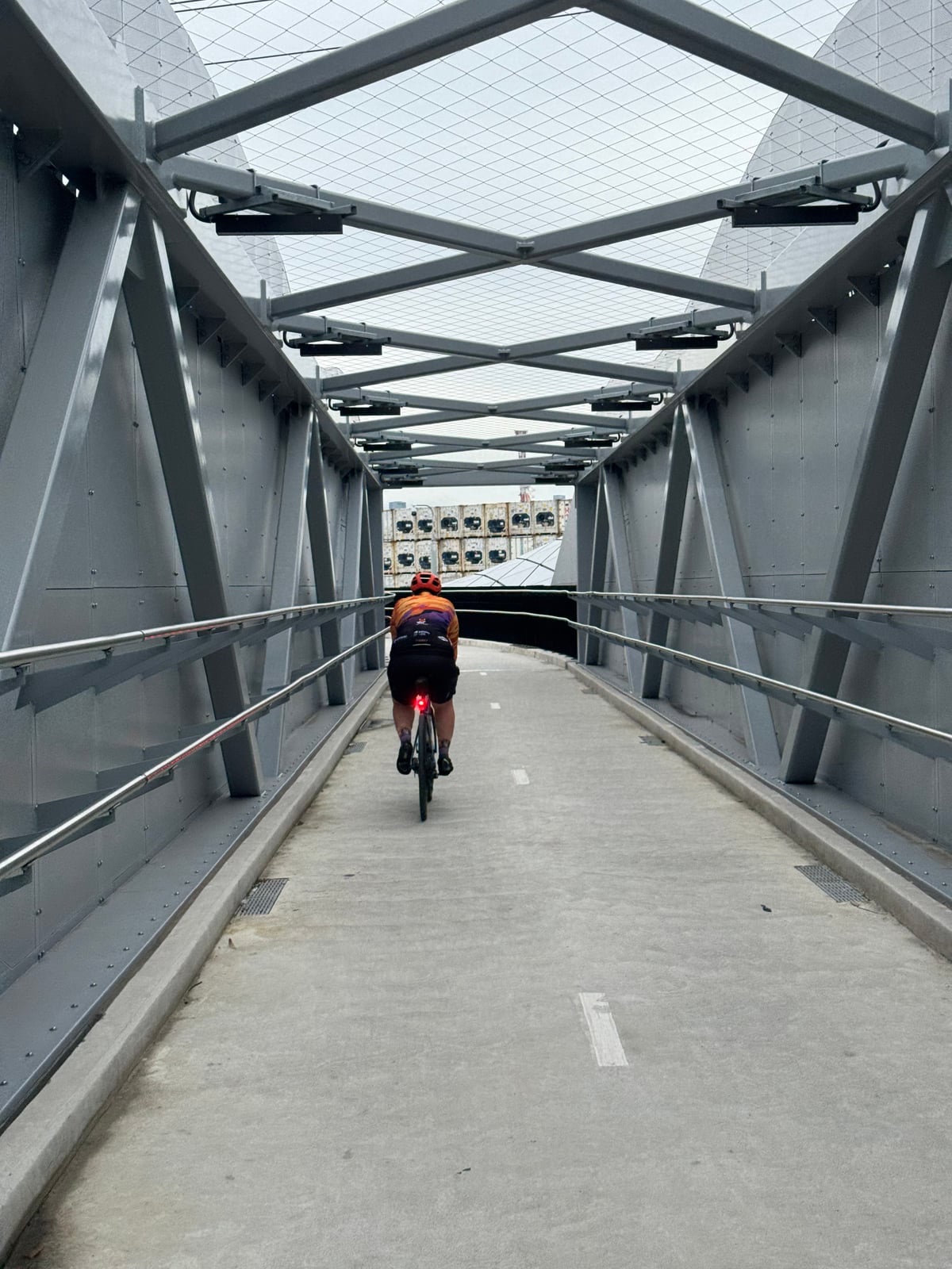
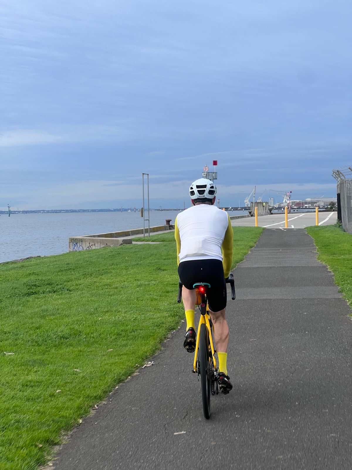
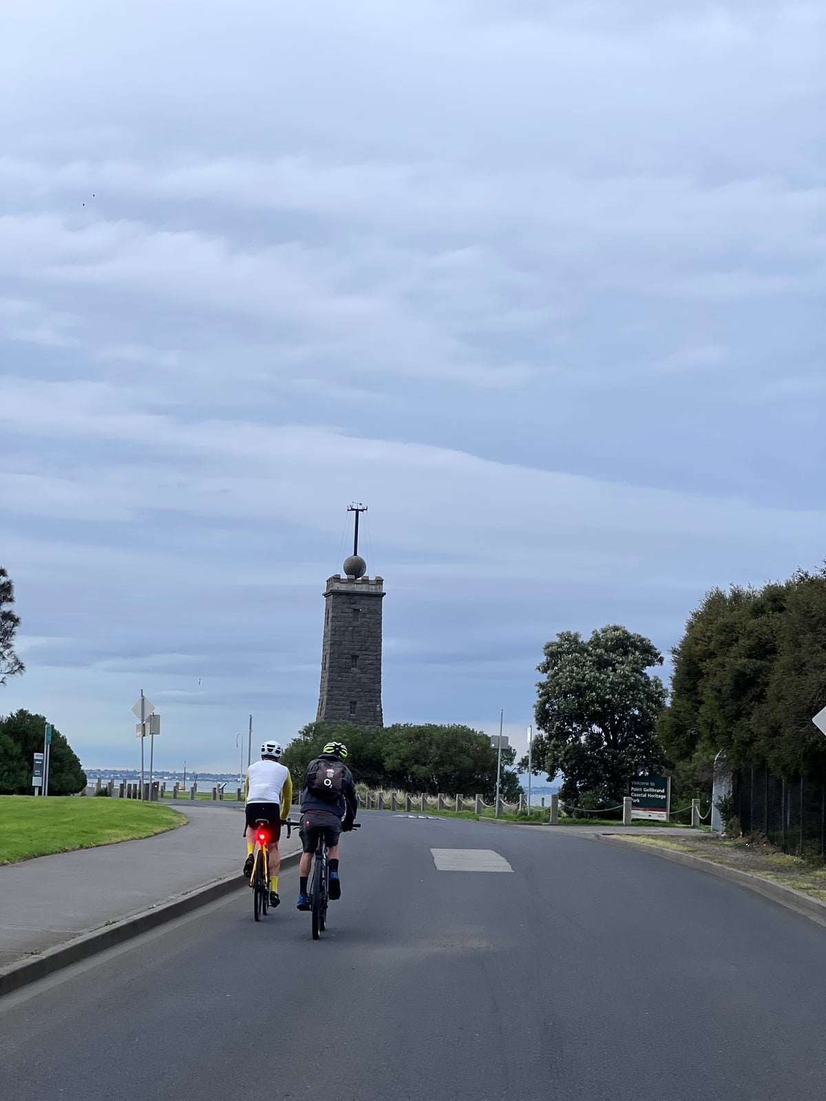
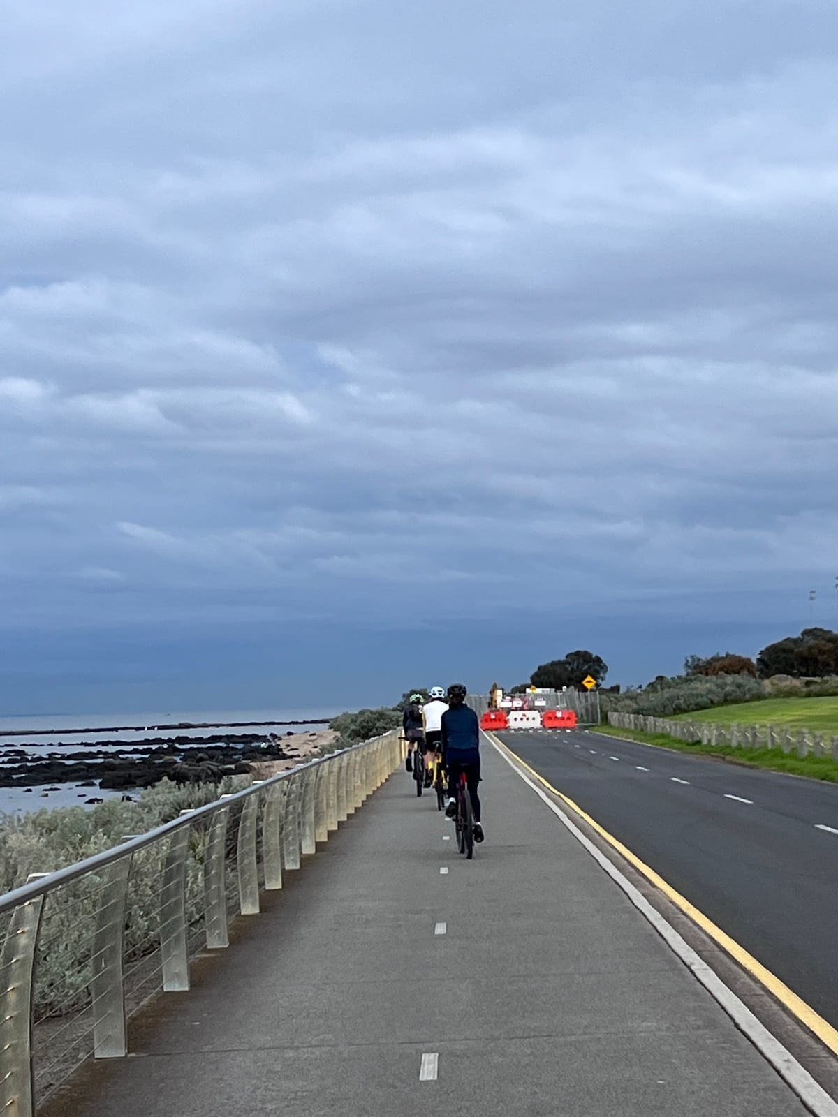
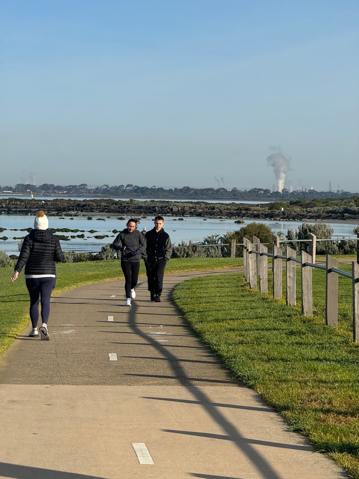
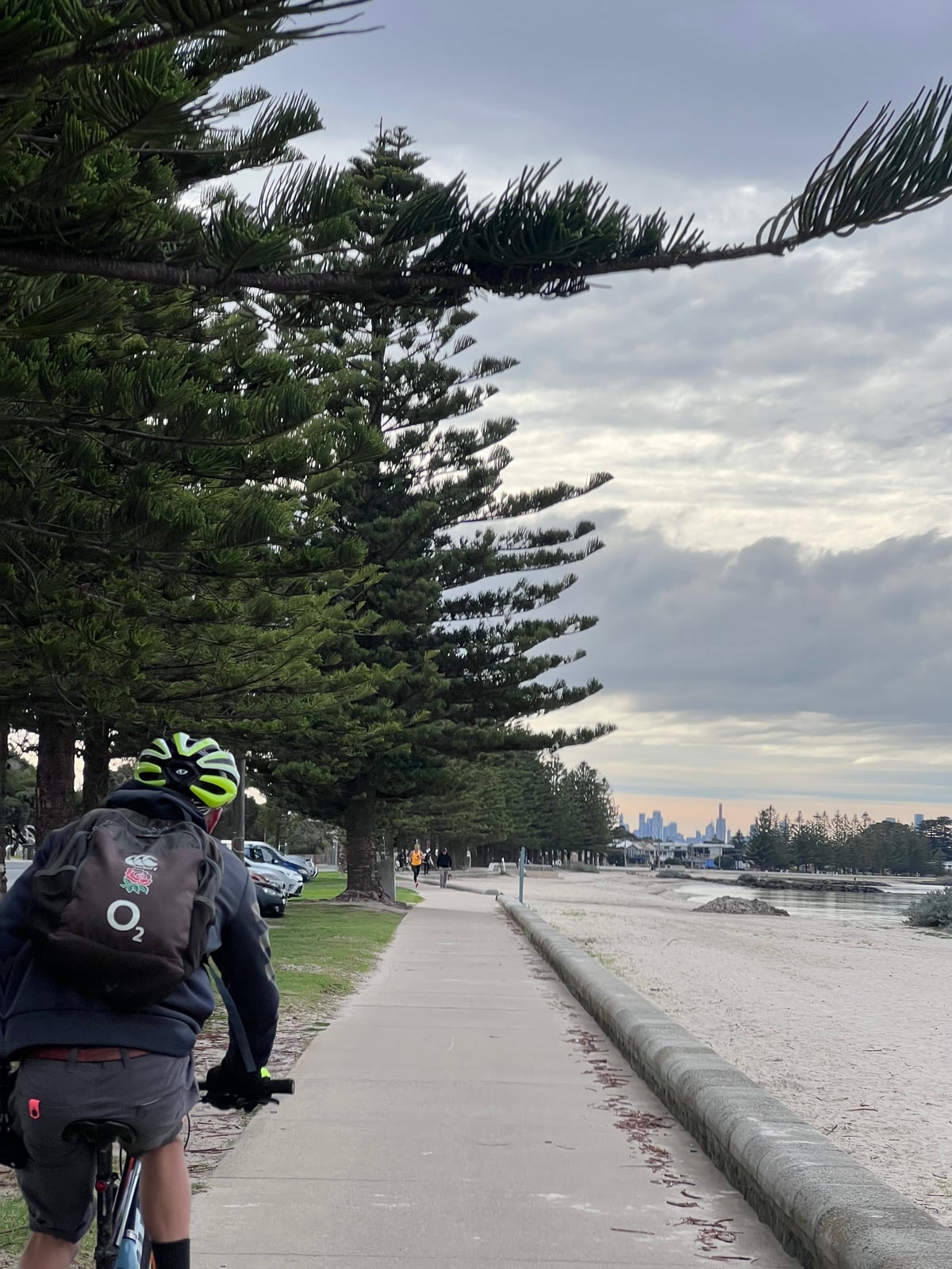
A 34.6 km waterfront ride from Webb Bridge in Docklands to the Point Cook coast. The route links the Dixon Veloway and western bayside trails through Spotswood, Williamstown, Jawbone, Altona and the wetlands toward Cheetham, combining bridges, piers and open coastal scenery.
The ride is almost entirely paved with very little climbing, but exposed stretches can be windy. Slow down near pedestrians, keep to permitted paths around conservation areas and plan a return from the Point Cook finish. Café and ferry stops are optional detours off the main route.
Route photos
Photos
Community photos load after the main route details so the page can appear faster.
Reviews
Reviews load after the main route details so the page can appear faster.
Get the full experience in the app
