Paved Road Rides
Kinglake Climb from Hurstbridge Station
Loading map...
The route details are ready. The interactive map is loading separately.
Points of Interest
Points of interest load after the main route details so the page can appear faster.
Route Description
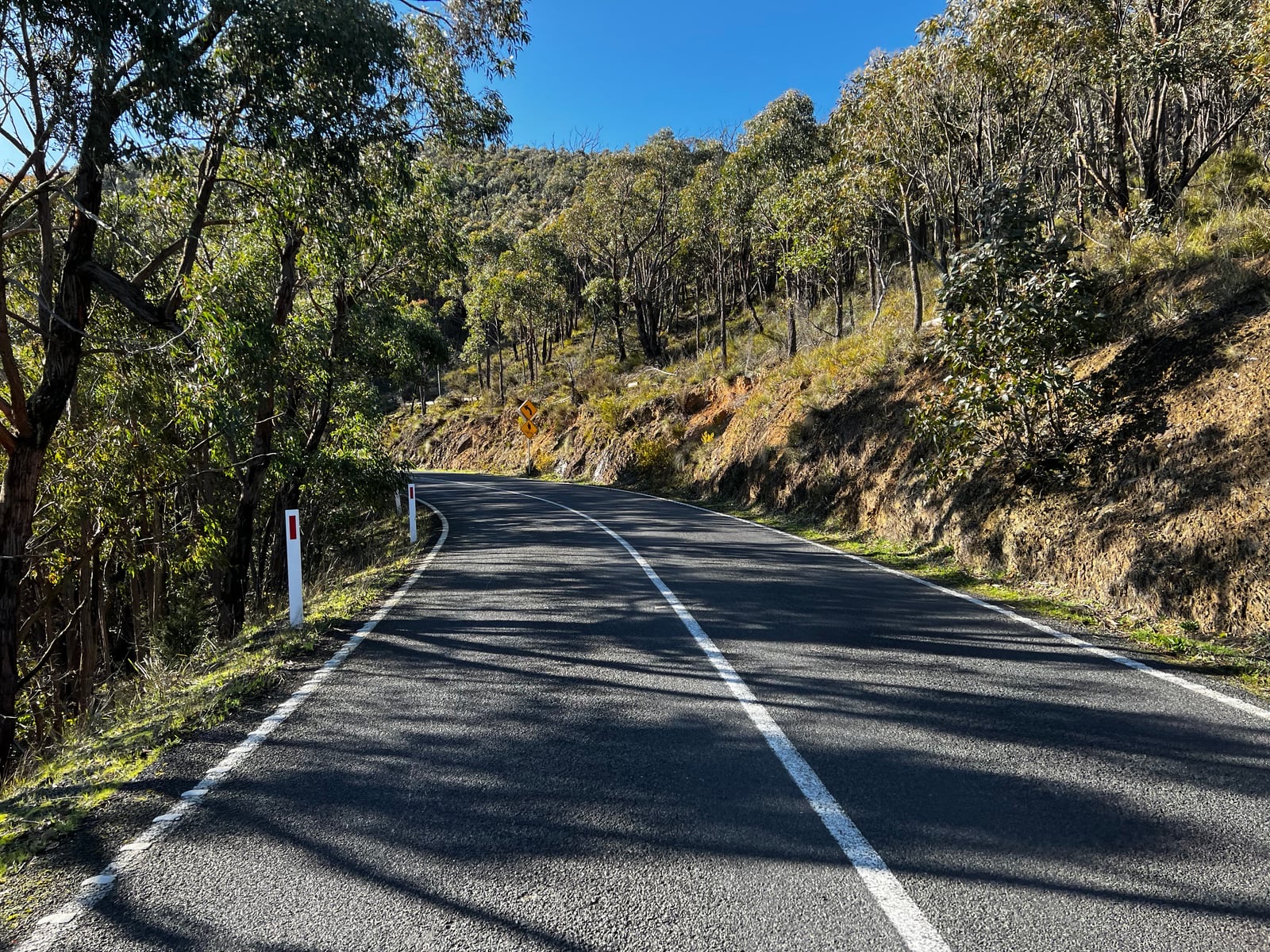
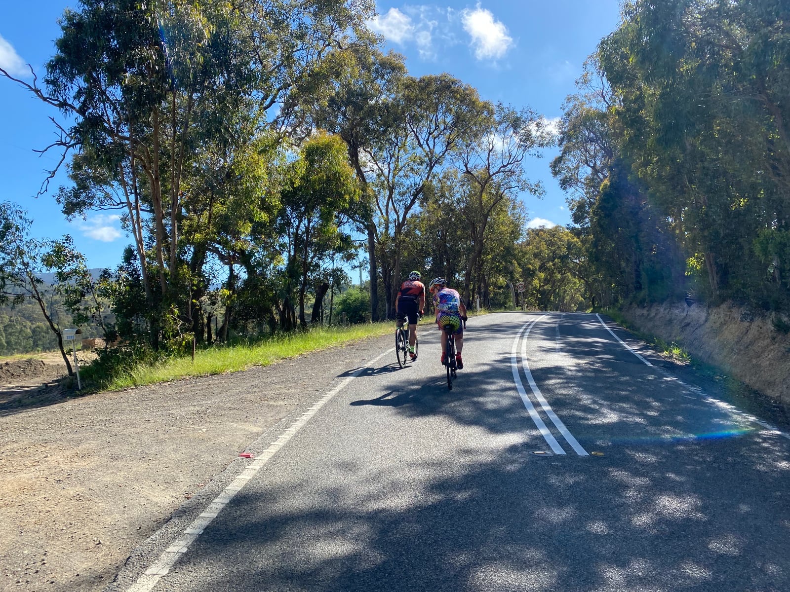
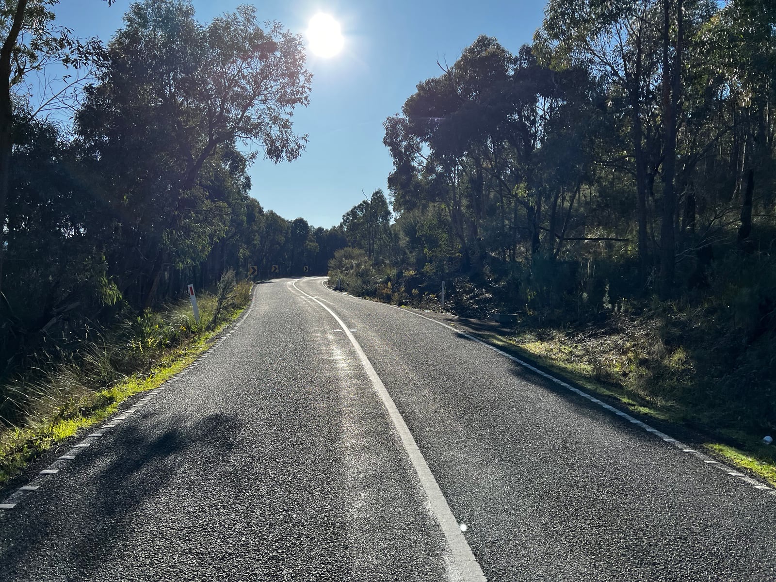
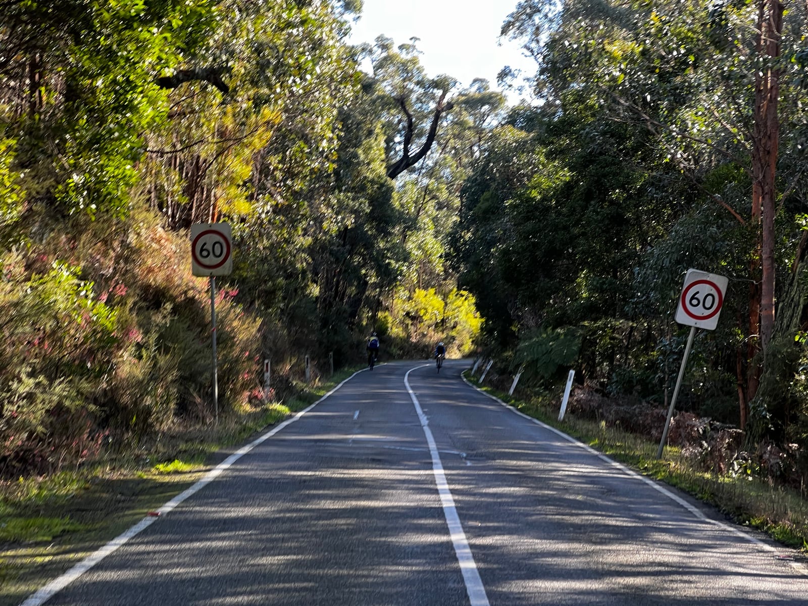
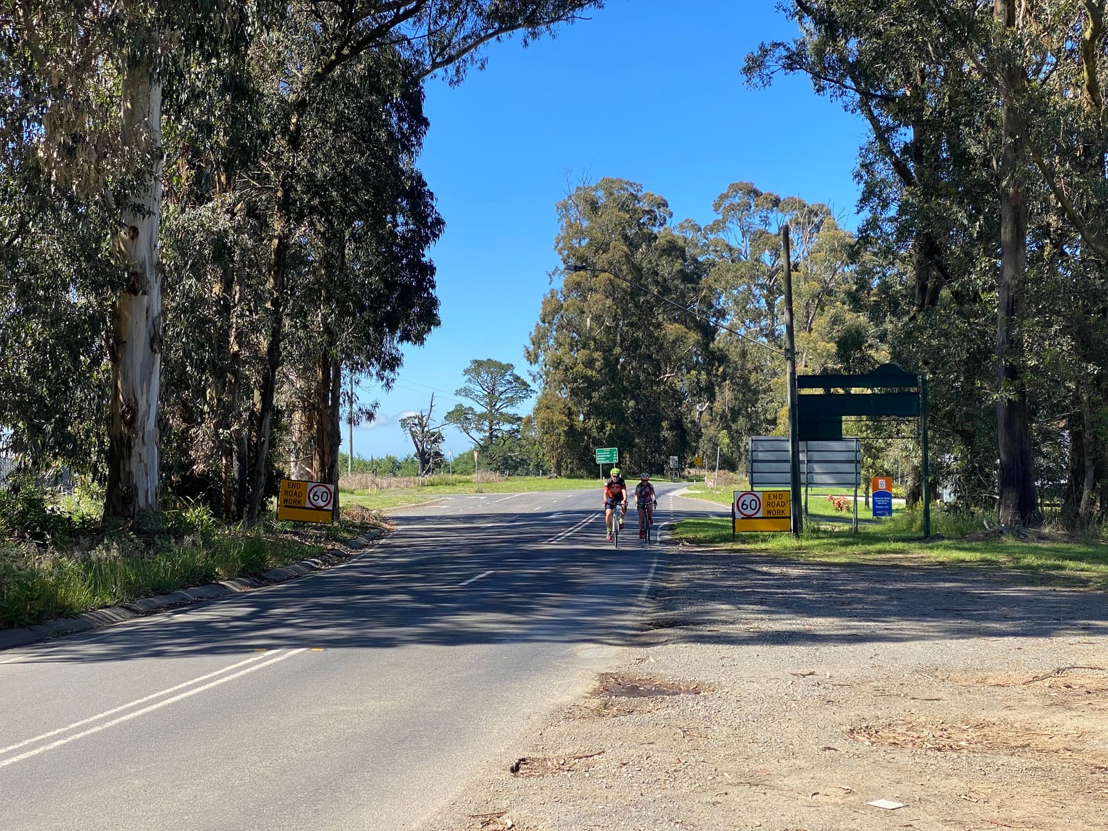
A 21.6 km paved road ride from Hurstbridge Station into the Kinglake Ranges, with about 546 metres of climbing. The approach rolls through the countryside around St Andrews before Heidelberg–Kinglake Road winds uphill through the forest to Kinglake. Pace the early kilometres: the sustained climb comes later, and the upper section asks for another effort before the township.
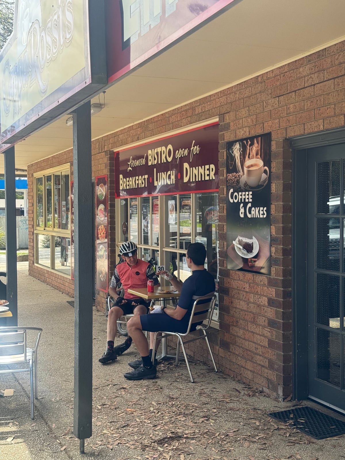
Wild Wombat Café is an optional pre-ride stop near Hurstbridge Station. On Saturdays, St Andrews Community Market offers a break close to the route. At Kinglake, Songbird Café & Larder is near the finish, while Kinglake Pub and Bollygum Park are short optional extensions for a meal or a rest. Check the listed hours; the market does not run on Total Fire Ban days.
This is a one-way climb, not a loop or a traffic-free trail. The roads carry motor vehicles and the climb has winding sections with limited room. Plan your return, onward ride or pickup before starting; the distance shown does not include riding back to Hurstbridge. Carry water and a layer for the ranges, and check weather, fire conditions and road closures before the ride.
Route photos
Photos
Community photos load after the main route details so the page can appear faster.
Reviews
Reviews load after the main route details so the page can appear faster.
Get the full experience in the app
