Gravel Trail Rides
25 October 2026
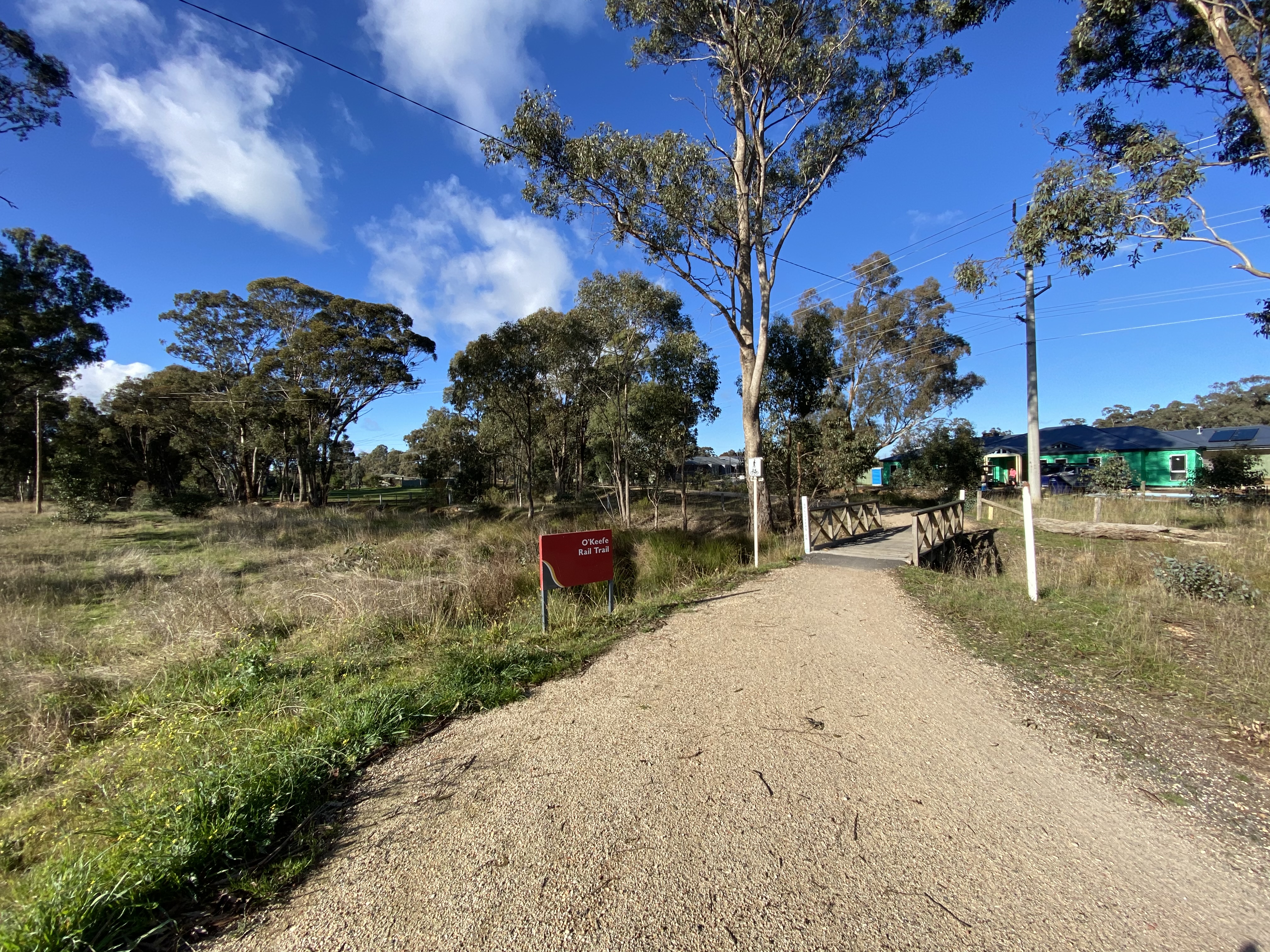
O’Keefe Rail Trail
Loading map...
The route details are ready. The interactive map is loading separately.
Points of Interest
Points of interest load after the main route details so the page can appear faster.
Route Description
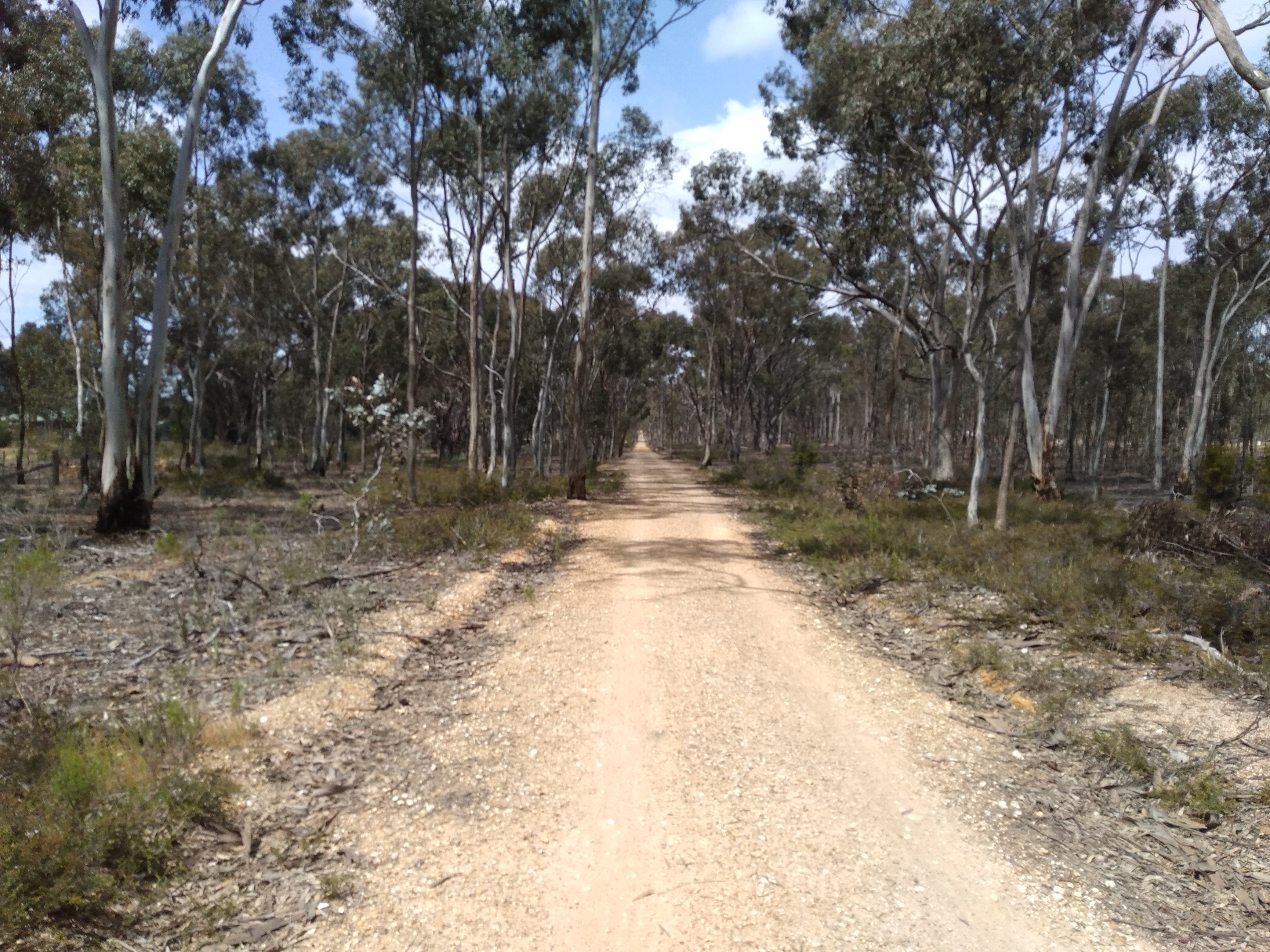
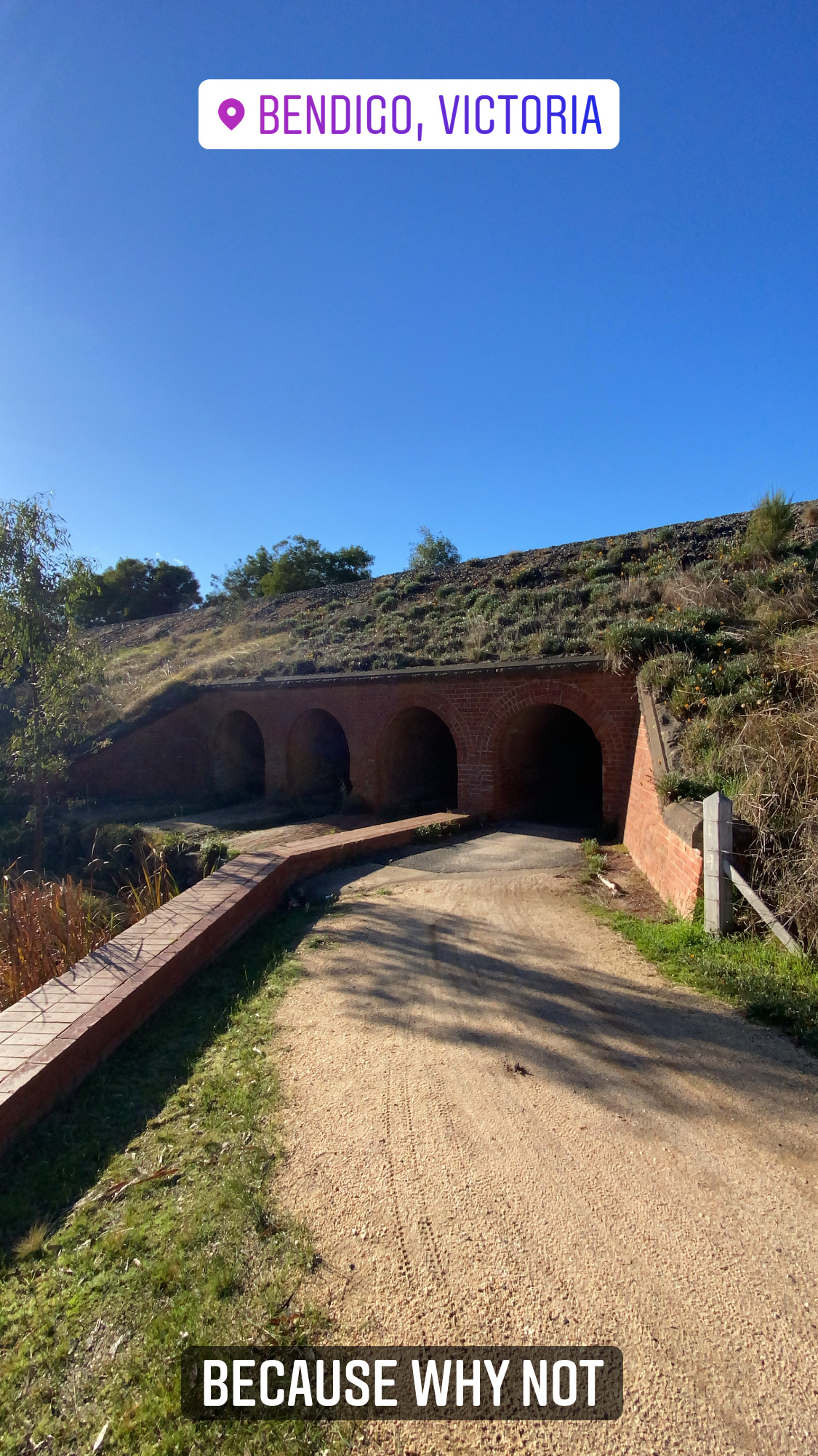
A one-way gravel rail-trail ride through central Victoria’s box-ironbark country, linking Bendigo with Heathcote via Junortoun, Longlea, Axedale, Knowsley and Lake Eppalock. This complete route is 49.6 km, starting at the Bendigo Creek Trail junction north of Lake Weeroona and finishing at Pink Cliffs Road in Heathcote. The railway alignment gives much of the ride gentle grades, but the full distance, river approaches and exposed lake section still make it a substantial outing. Allow time for breaks rather than treating it as a quick flat-path spin.
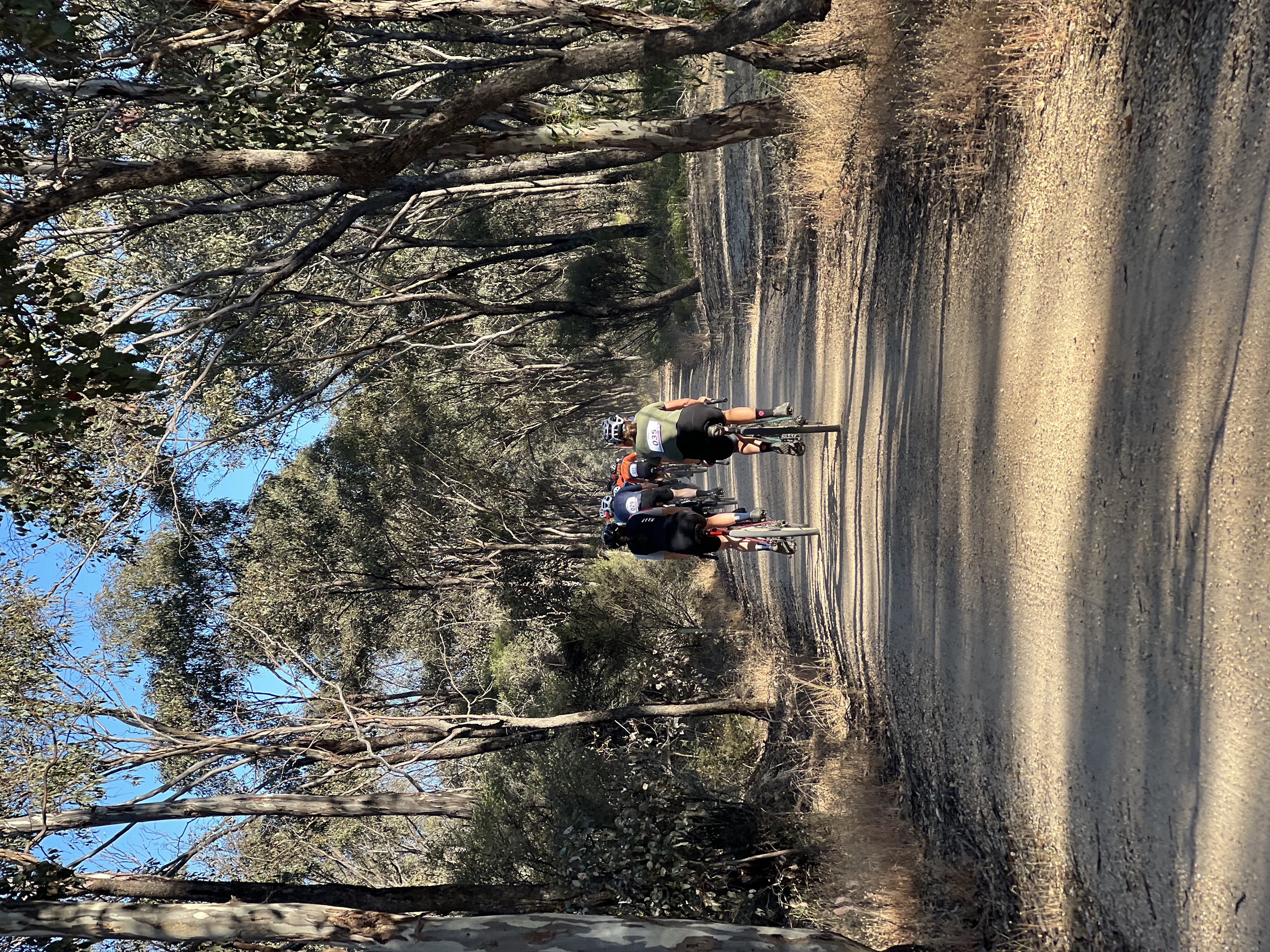
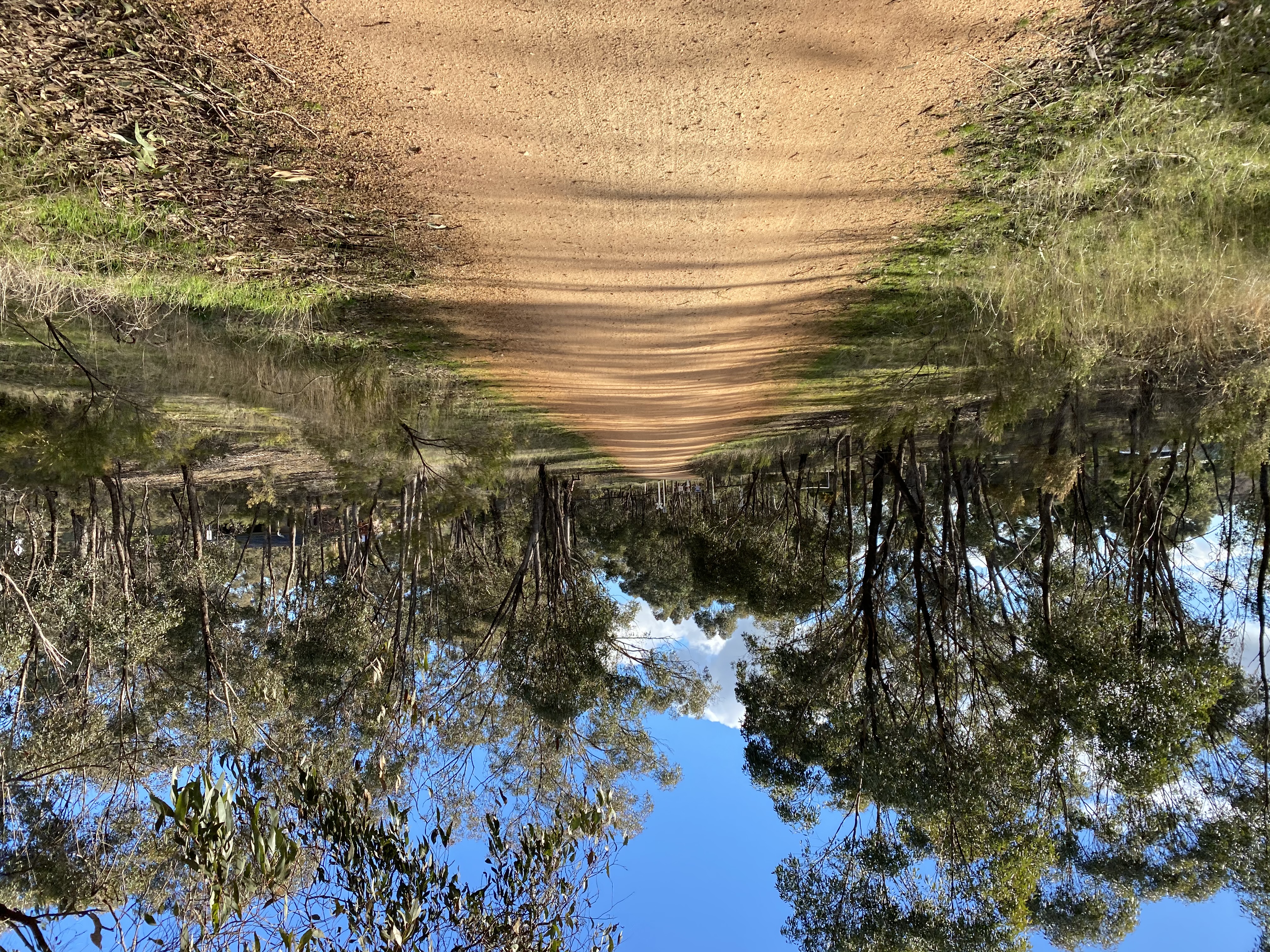
Most of the surface is compacted or sandy gravel, with short paved township sections and bridge decks. A hybrid, touring bike, gravel bike or mountain bike with comfortable tyres is a better choice than narrow racing tyres. Loose patches, ruts and slippery sections can develop after rain. The route is shared with walkers and other trail users, and it is not entirely separated from traffic: Ingham Road, Railway Court/Bywater Street and Old Railway Reserve Road include on-road links. Slow at crossings, watch for vehicles, and use the signed alignment rather than improvising along the McIvor Highway.
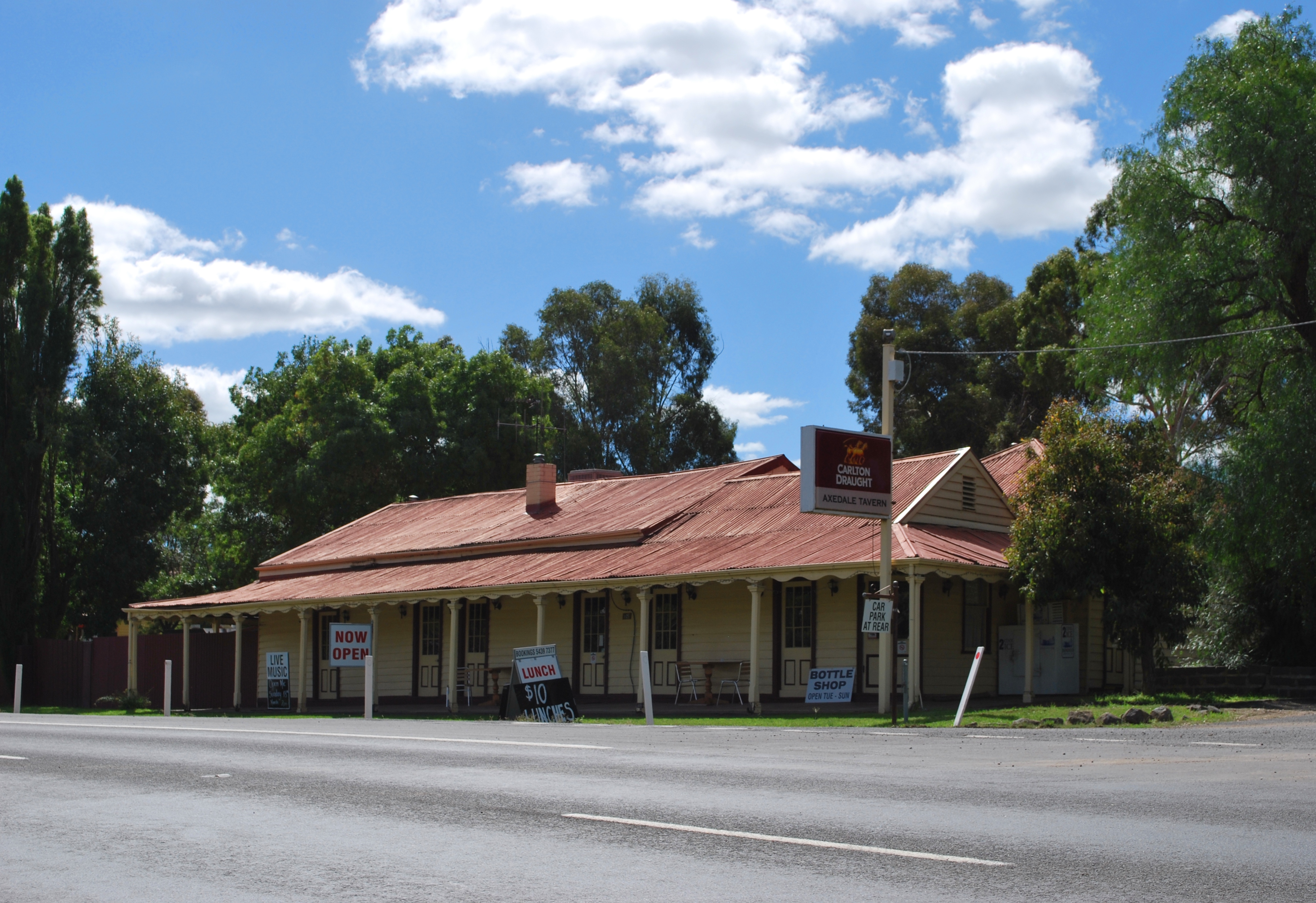
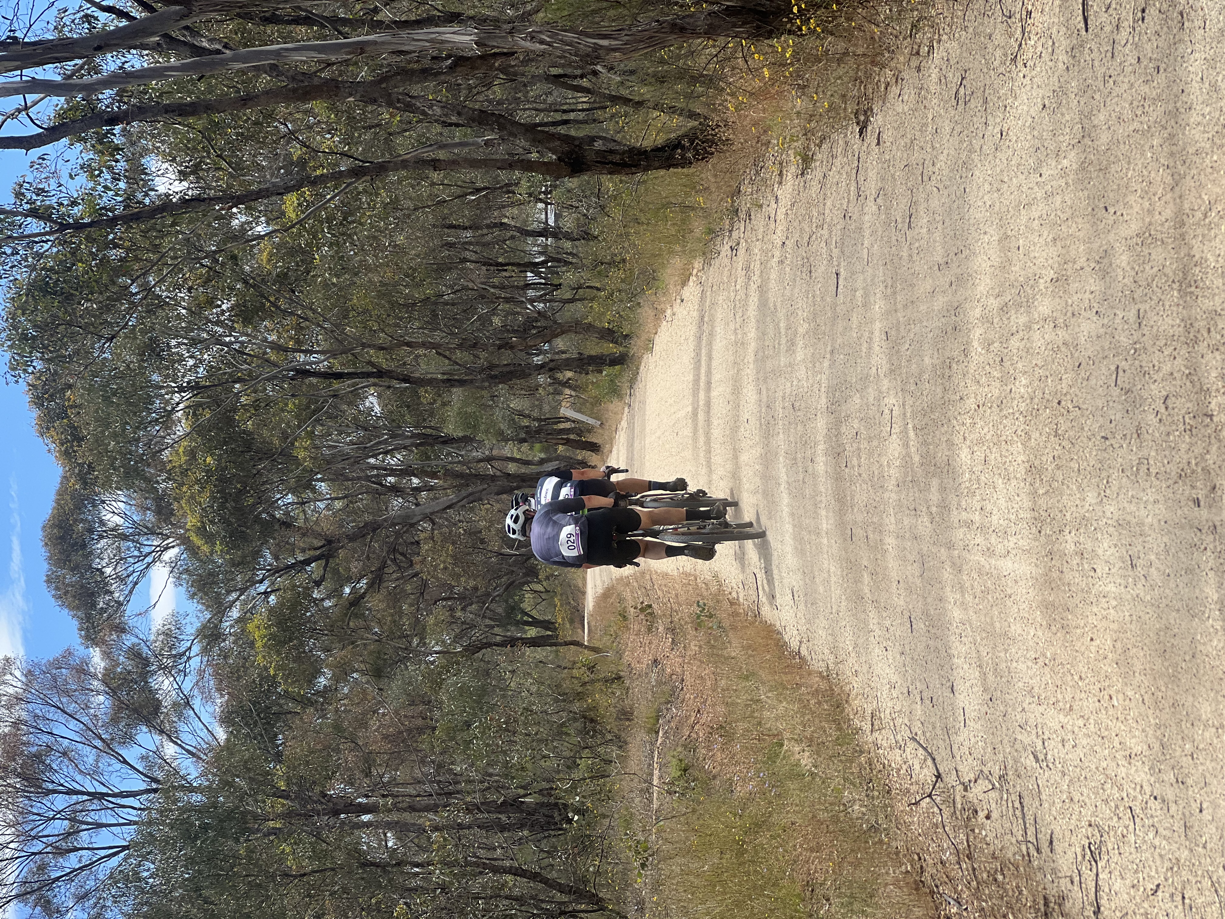
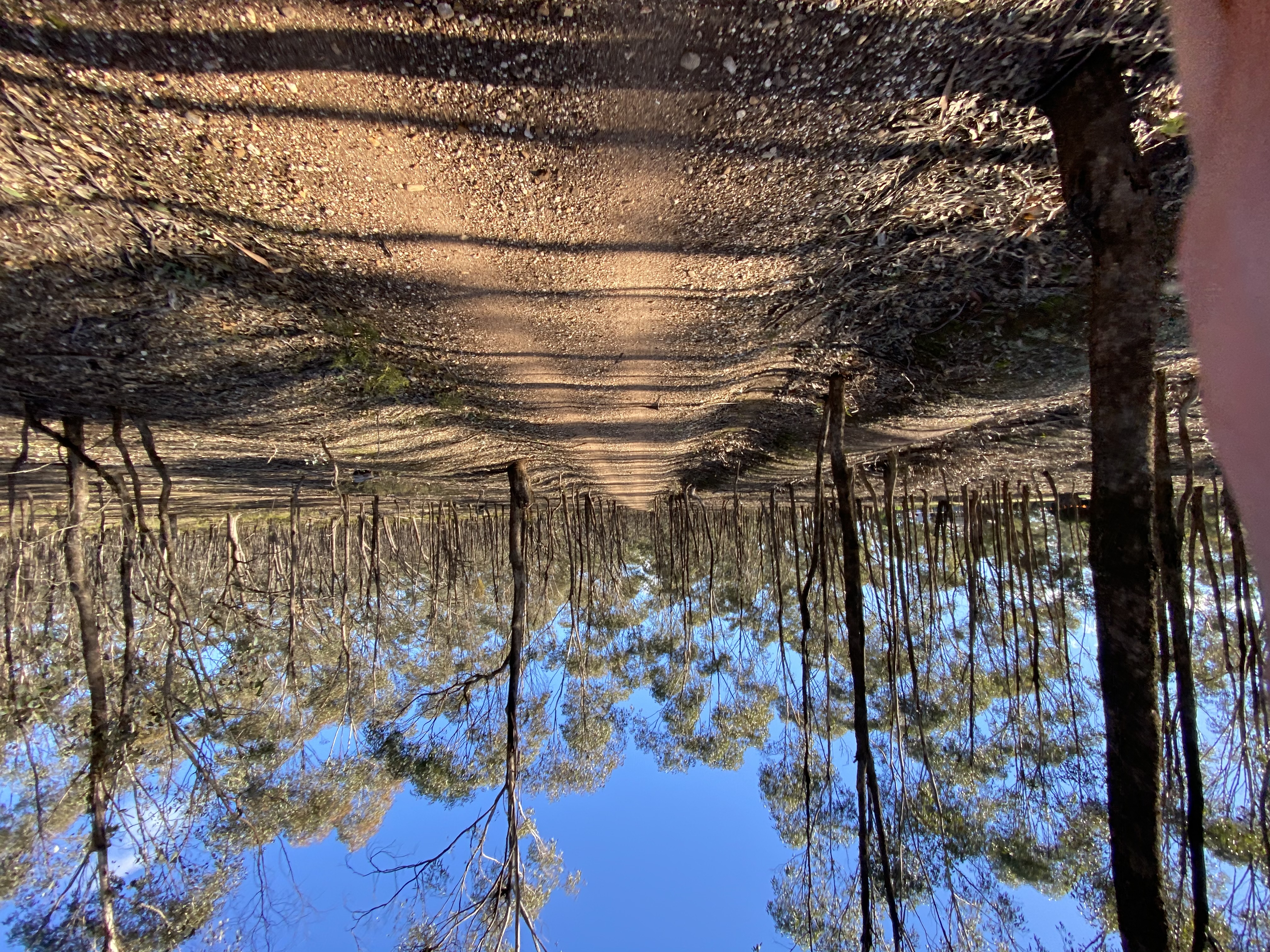
The western half passes through gum woodland to the Axe Creek bridge and Peppercorn Park at the old Longlea station site, a useful picnic and access point. Farther east, the red railway wagon at the former Axedale station recalls the line’s history; this is a heritage display, not an operating railway. Axedale is the main midway resupply opportunity. Rise & Grind is an optional coffee and takeaway stop, while Axedale Tavern serves lunch and dinner Wednesday to Sunday and is closed Monday and Tuesday. Both require leaving the through-trail for the actual venue. Carry enough food and water if the shops are closed; do not assume a rainwater tank provides drinking water.
Near Axedale, the Campaspe River Reserve and Platypus Compass provide a riverside pause before the trail crosses the river and returns towards the old railway corridor. Continue past Knowsley’s former station site to the long, low Mount Ida Creek bridge across an arm of Lake Eppalock. The lake’s appearance changes with water levels, and the causeway can be windy and exposed. Never enter a flooded or closed section. In Heathcote, Gaffney’s Bakery at 63–65 High Street and the visitor information centre are optional town detours; they are not at the Pink Cliffs Road endpoint. Bakery trading and visitor-centre hours differ, so check the individual stop details.
Plan the return before setting out. Retracing the whole trail makes an approximately 99 km day. Bendigo railway station requires a separate town connection not included in this line; there is no operating passenger railway station at the Heathcote end. The Bendigo–Heathcote local bus is listed as carrying bicycles on a front rack, but spaces are first-come, first-served and suitable-bike size and weight limits apply: it is not a guaranteed lift home. Check the current timetable, rack availability and V/Line bicycle conditions, or arrange a pickup or shuttle. Carry tools, water and sun protection, and check weather, fire conditions and current trail notices before departure.
Route photos
Photos
Community photos load after the main route details so the page can appear faster.
Reviews
Reviews load after the main route details so the page can appear faster.
Get the full experience in the app
