Gravel Trail Rides
25 October 2026
Bellarine Rail Trail
Loading map...
The route details are ready. The interactive map is loading separately.
Points of Interest
Points of interest load after the main route details so the page can appear faster.
Route Description
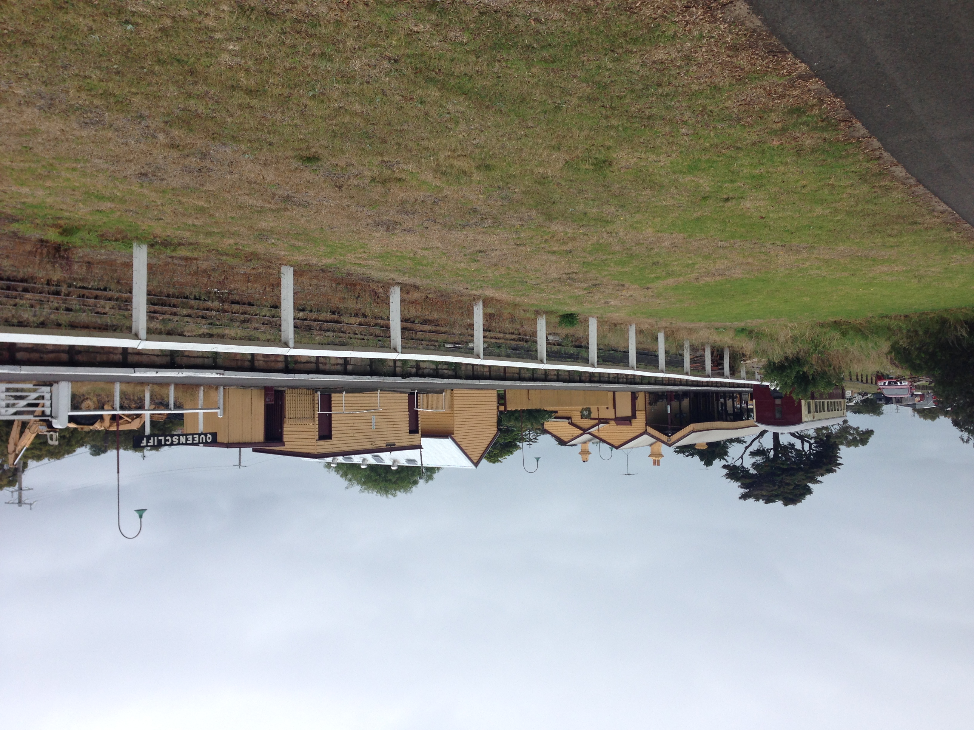
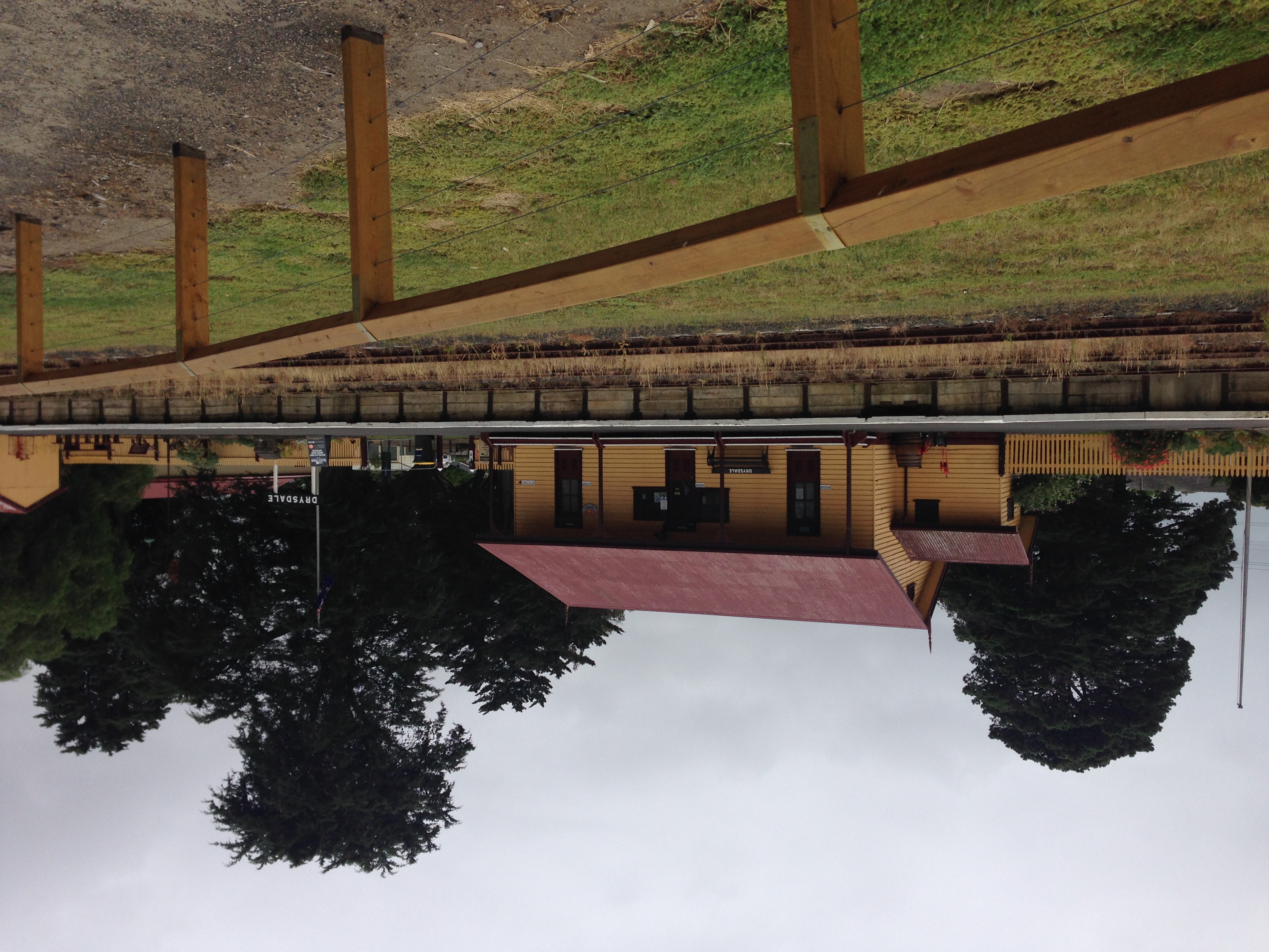
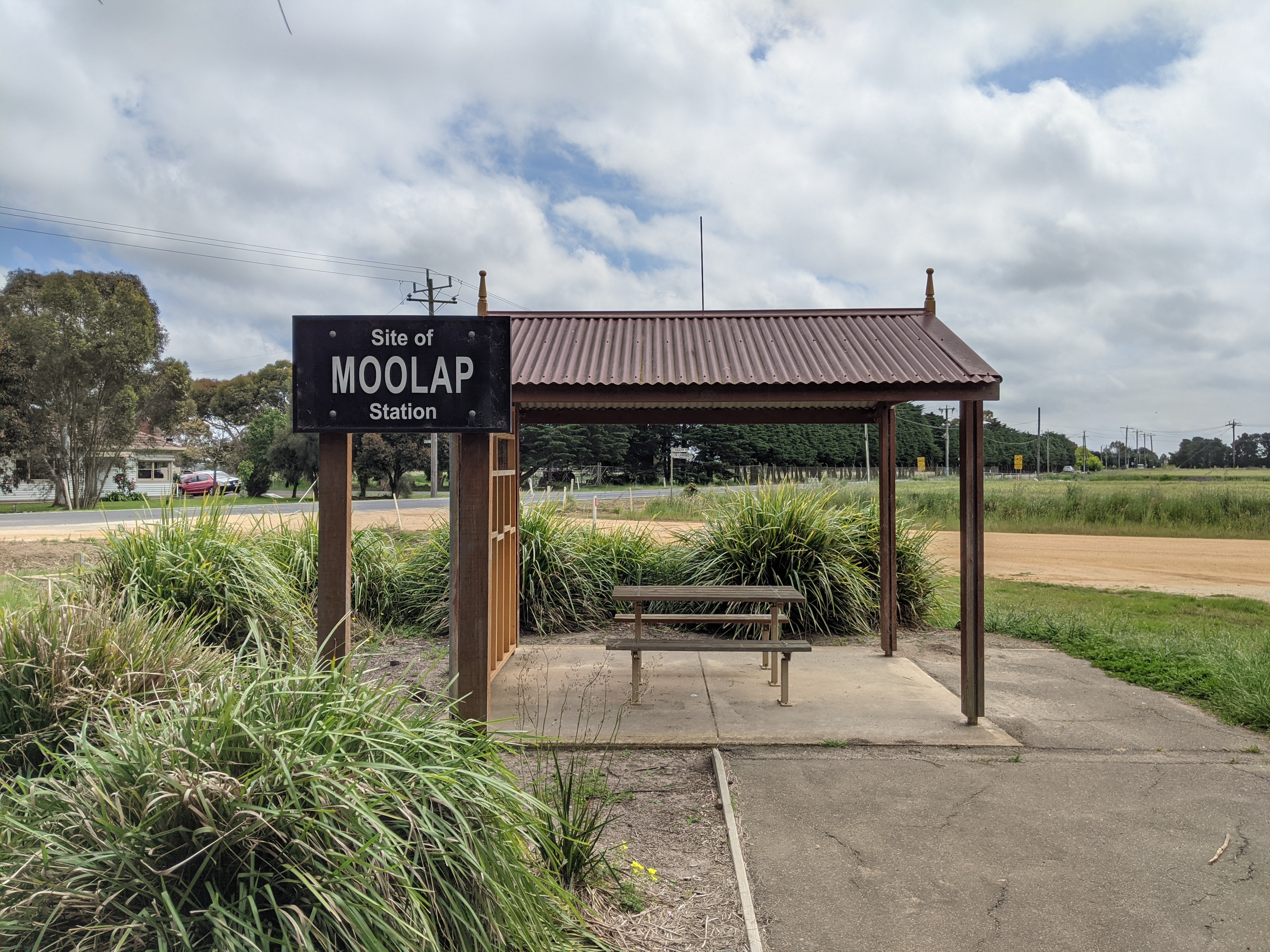
Ride from South Geelong to Queenscliff on a gently rolling journey across the Bellarine Peninsula. This 35.7 km one-way route starts on the northern side of South Geelong Station, passes the former Moolap station site and Leopold, then reaches Drysdale and Lake Lorne before continuing through farmland to Swan Bay and Queenscliff's heritage railway station. The source route lists about 152 m of climbing; the gradual rise towards Drysdale is more noticeable on the outward journey than the coastal finish.
Expect a mixture of sealed shared path and compacted gravel, with some sealed connectors in the eastern half. Touring, hybrid and gravel bikes are sensible choices; narrow racing tyres are less comfortable on loose, corrugated or rain-damaged sections. The trail is shared with walkers and has road crossings. In particular, Murray Road is an on-road section shared with vehicles, not a separated bike path. Slow down at crossings, follow signs and leave plenty of space for other users. Coastal wind can make this easy-looking distance feel considerably longer.
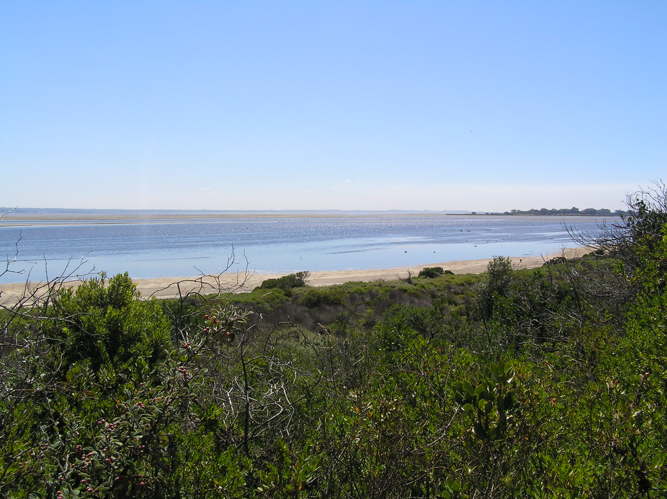
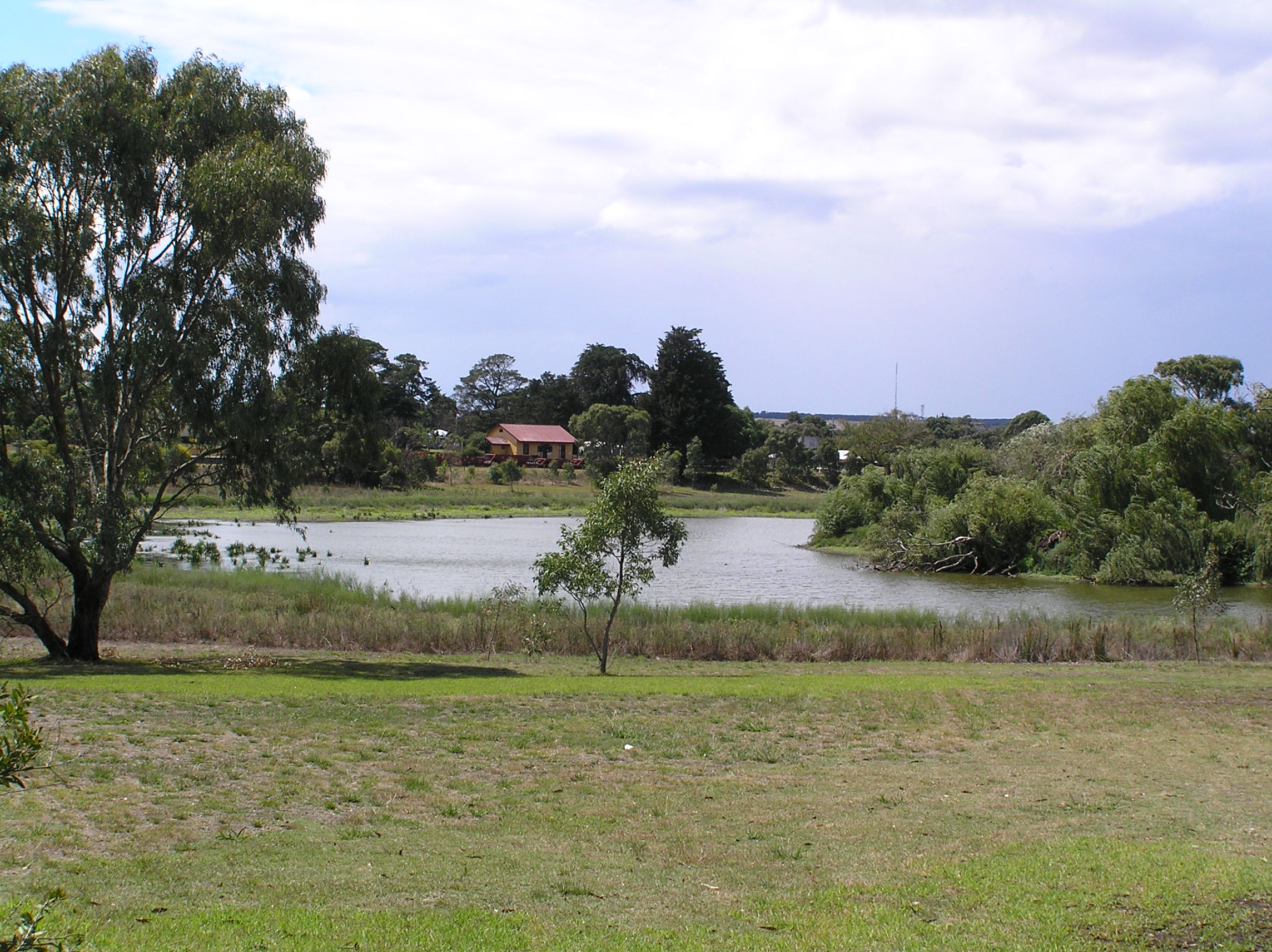
Drysdale Station and adjoining Lake Lorne make a useful picnic and birdwatching break. Keep clear of railway tracks and explore the lake on foot where signed. Near Queenscliff, pause for Swan Bay's tidal flats and saltmarsh before reaching the historic station. Queenscliff General Store Cafe is an optional detour into town, not part of the main trail: it closes on Wednesdays and its kitchen closes at 2 pm. Other town stops can extend the outing, so allow time beyond the moving distance.
Plan the return before setting off. Riding back makes an approximately 71.4 km day; otherwise arrange a pickup or a confirmed bicycle-carrying transfer. Bellarine Railway services between Queenscliff and Drysdale run on selected dates only, have limited bicycle space and require advance arrangements; they are not a daily through service to Geelong. Check current V/Line bicycle conditions for the journey to South Geelong, official trail notices and the weather. Recent rain may leave ruts or soft patches. The gallery contains attributed historical photographs, not a guarantee of current surface conditions.
For an onward trip to the Mornington Peninsula, Searoad Ferries connects Queenscliff with Sorrento beyond this trail’s finish. The crossing takes about 40–45 minutes; bicycles travel free with a paying foot passenger. Riders with bicycles board via the car ticket window under staff direction. Check the live timetable and travel alerts before planning your connection, as maintenance can reduce service frequency. The ferry is an optional extension, not included in this ride’s distance or a return service to Geelong.
Route photos
Photos
Community photos load after the main route details so the page can appear faster.
Reviews
Reviews load after the main route details so the page can appear faster.
Get the full experience in the app
