Gravel Road Rides
12 October 2026
Wandong Regional Park Gravel
Loading map...
The route details are ready. The interactive map is loading separately.
Points of Interest
Points of interest load after the main route details so the page can appear faster.
Route Description
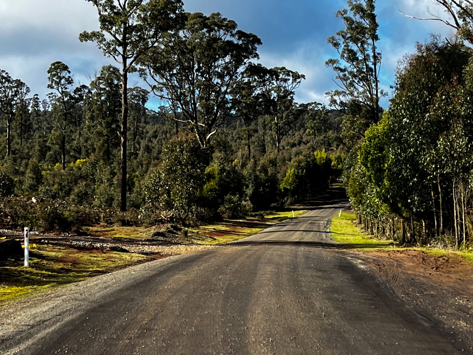
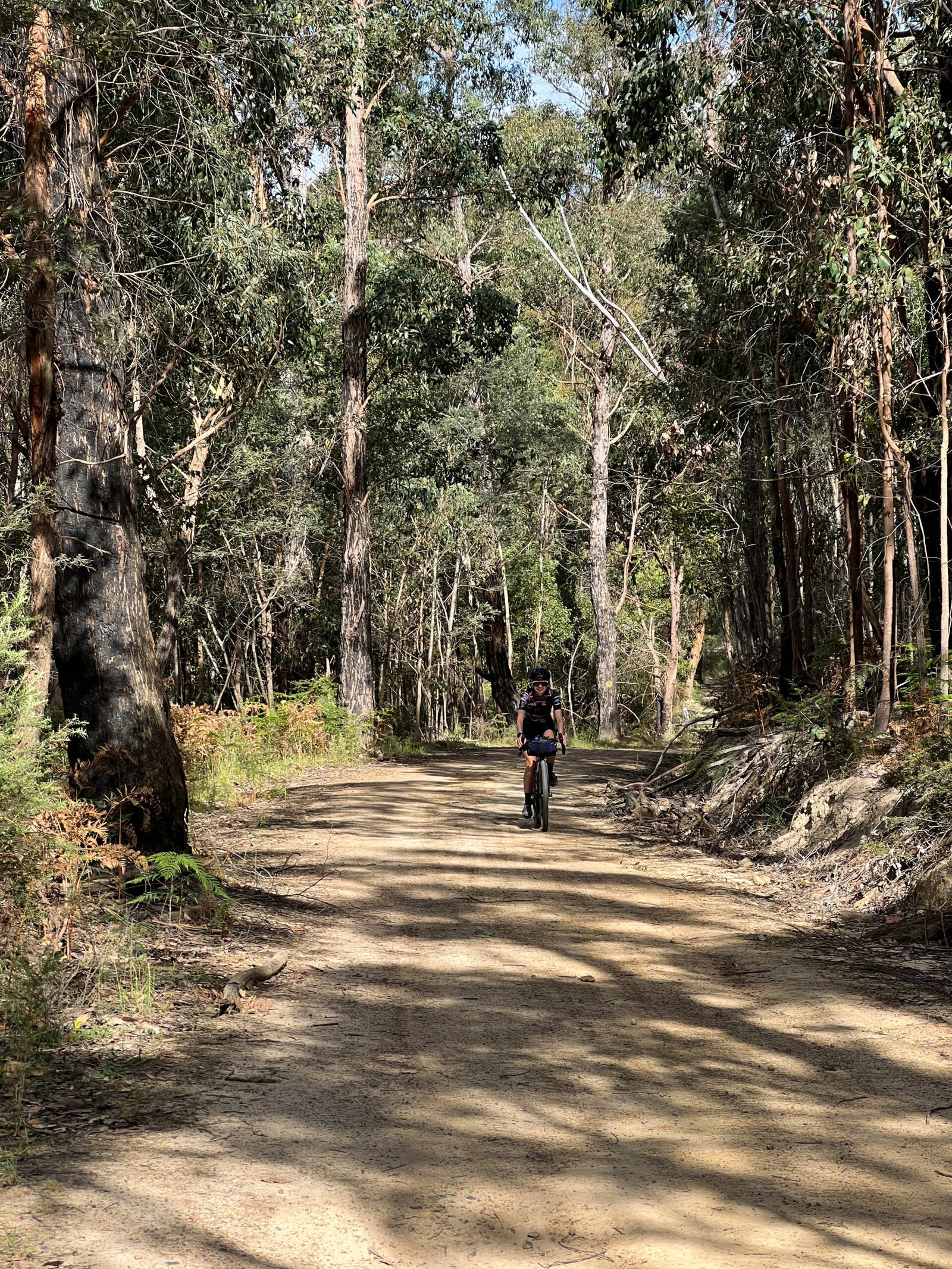
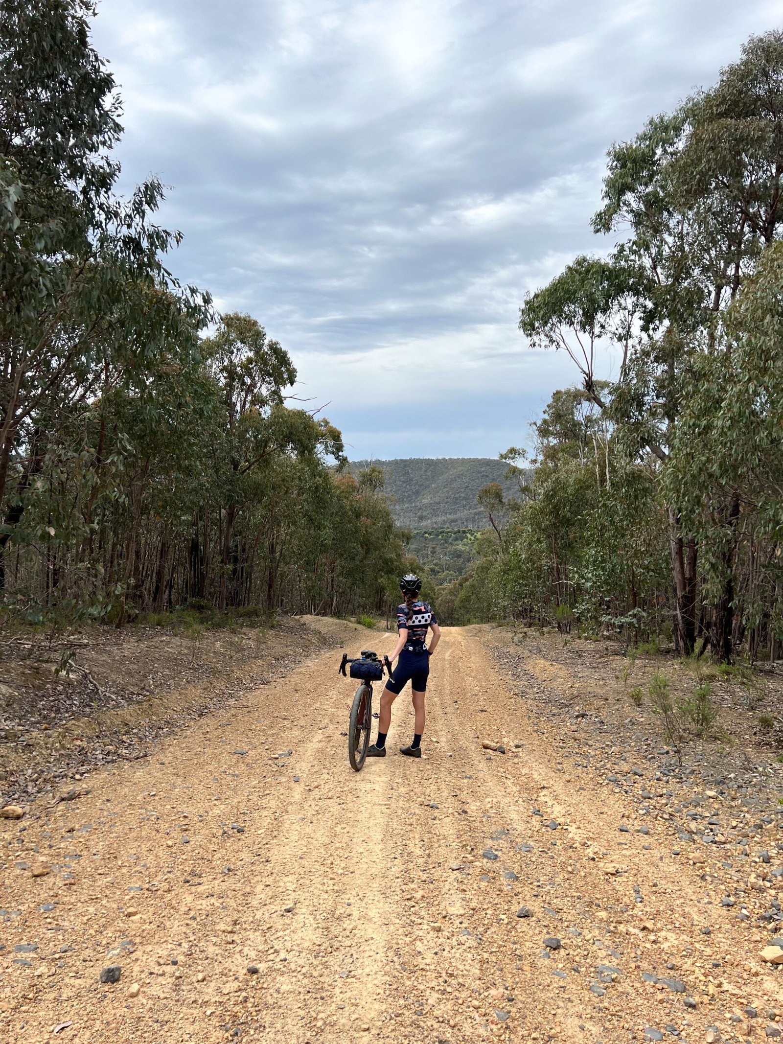
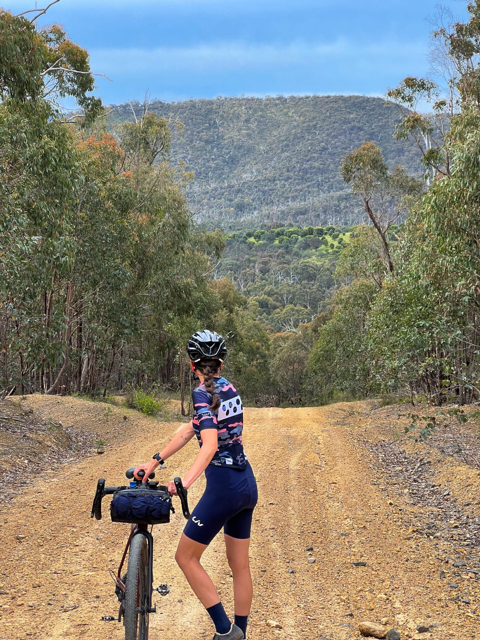
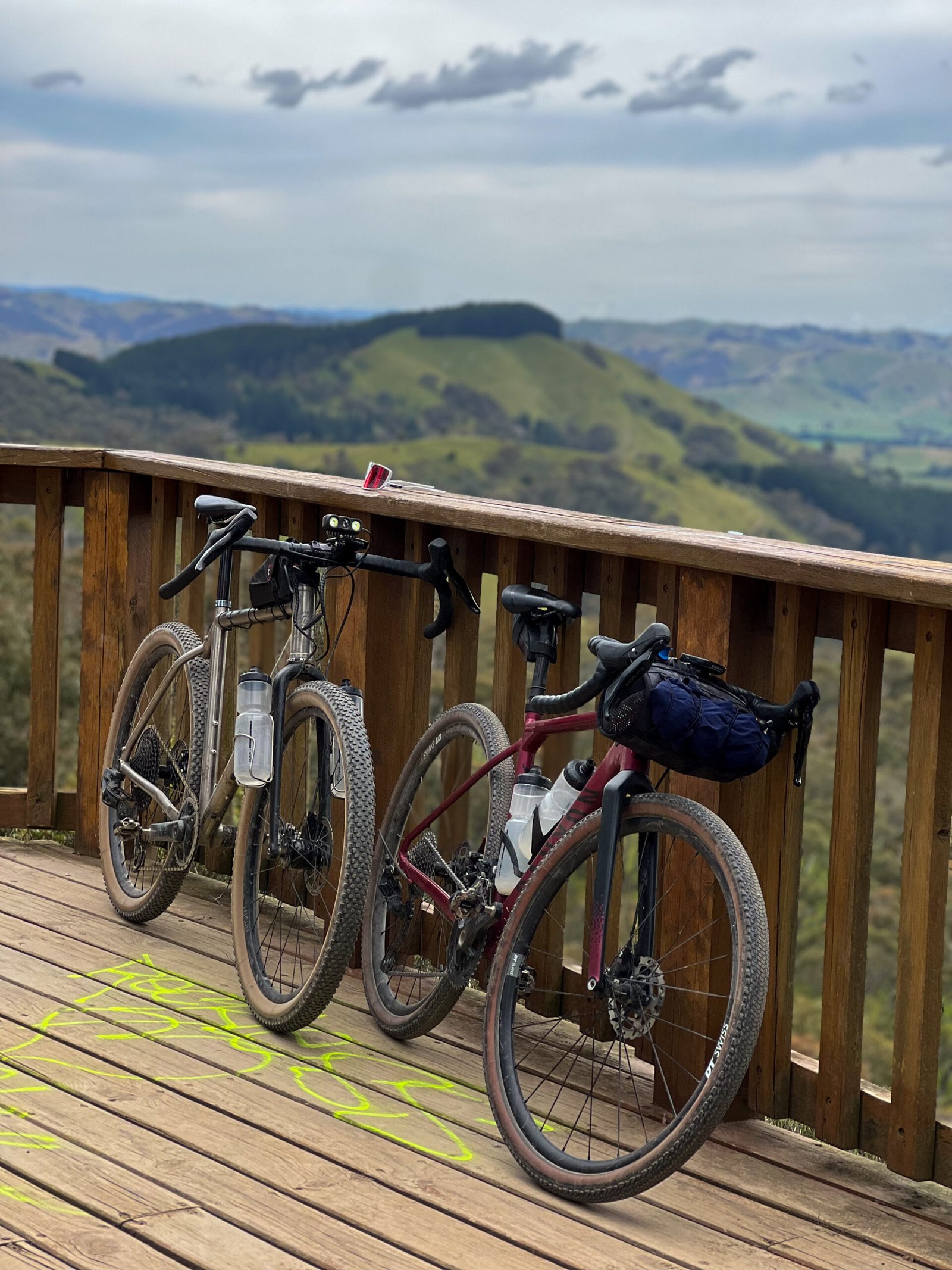
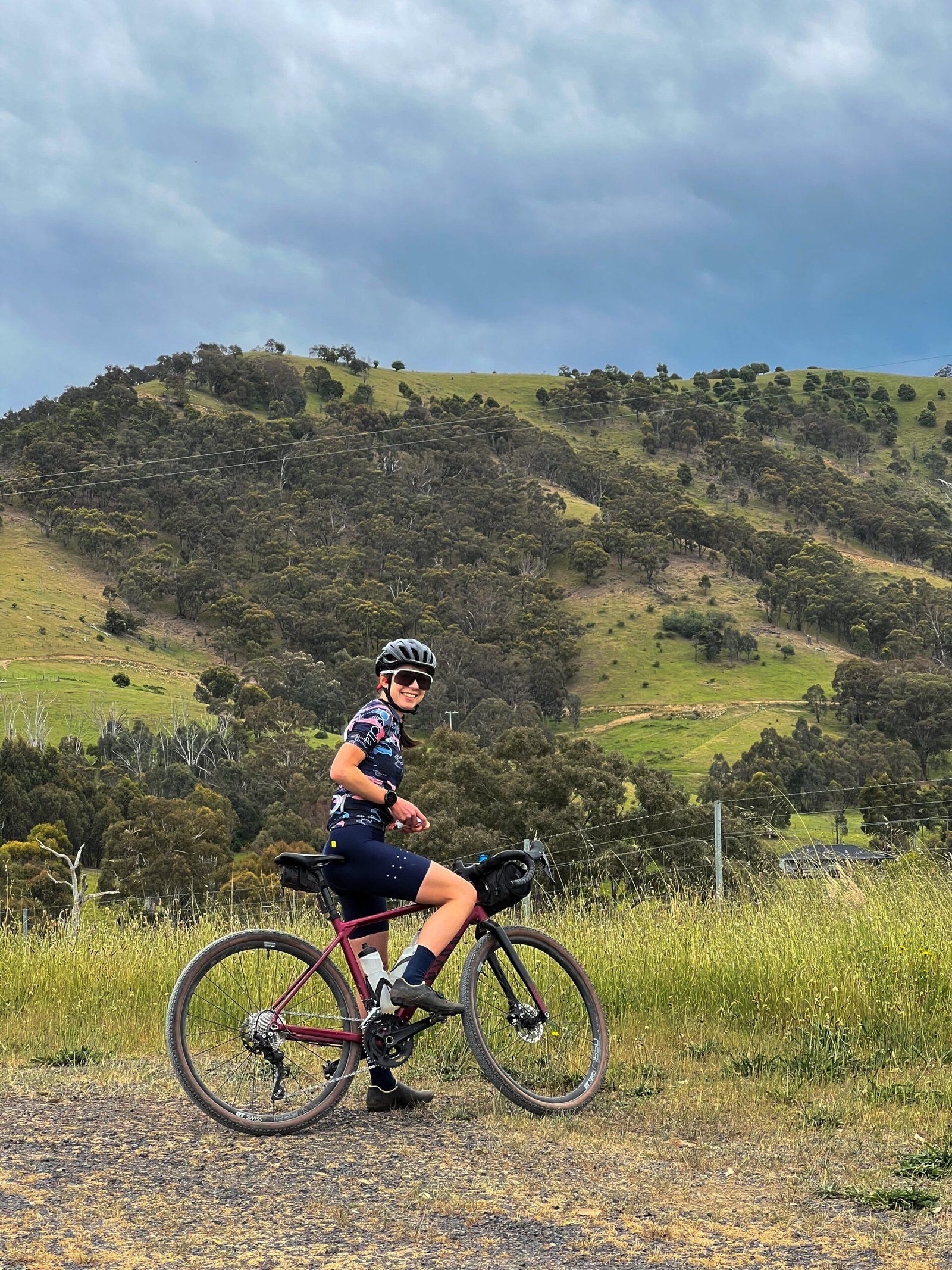
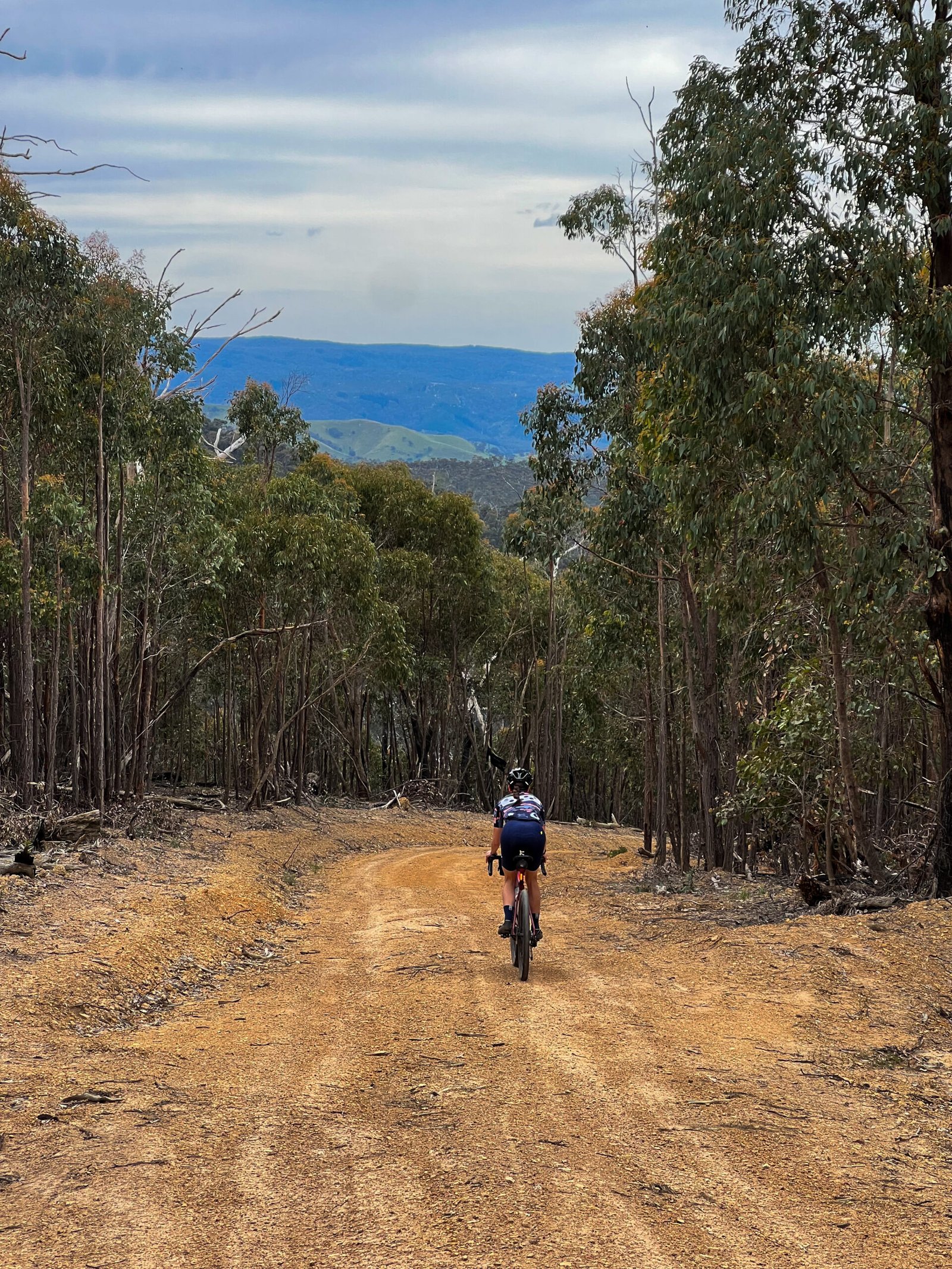
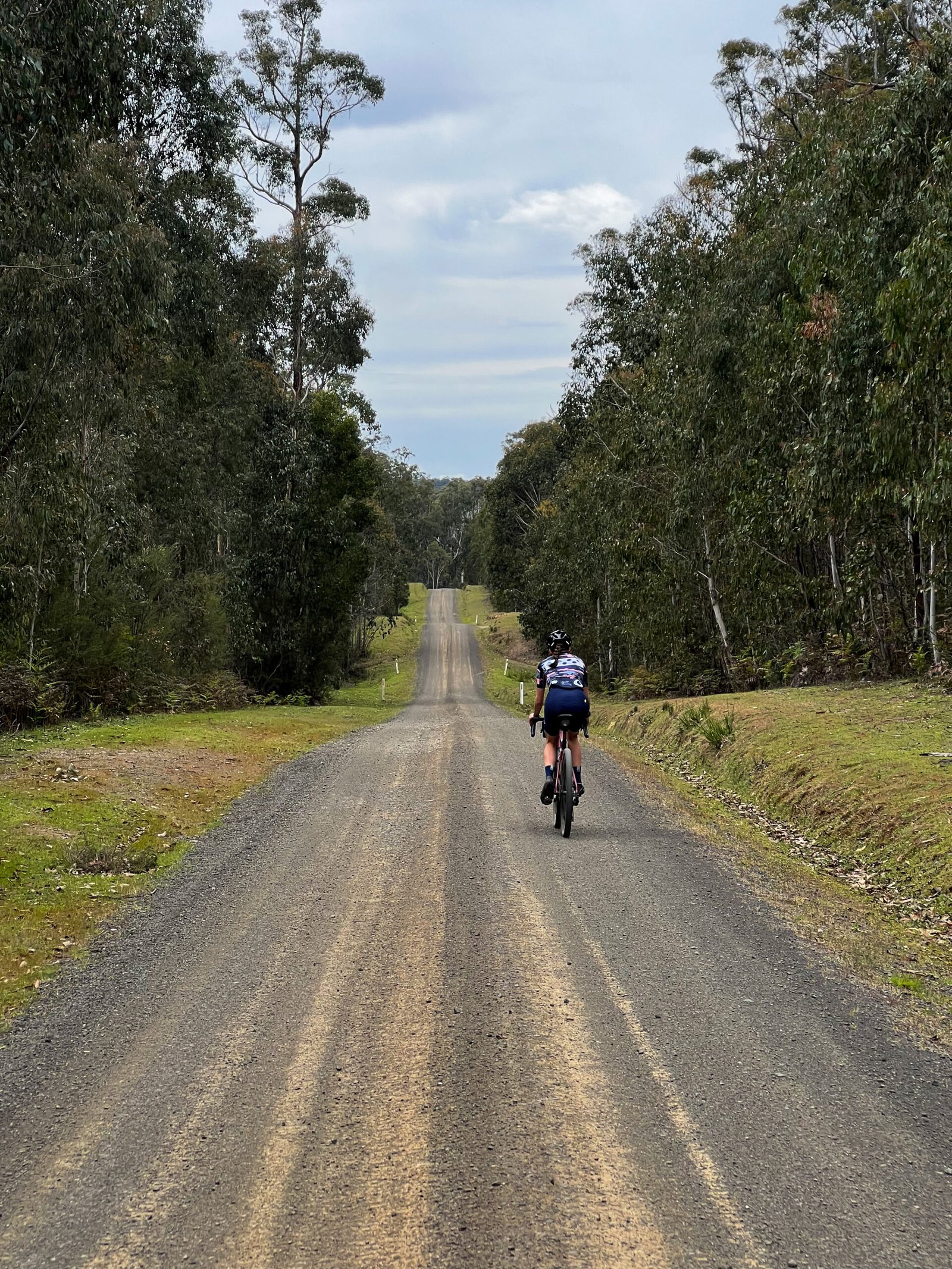
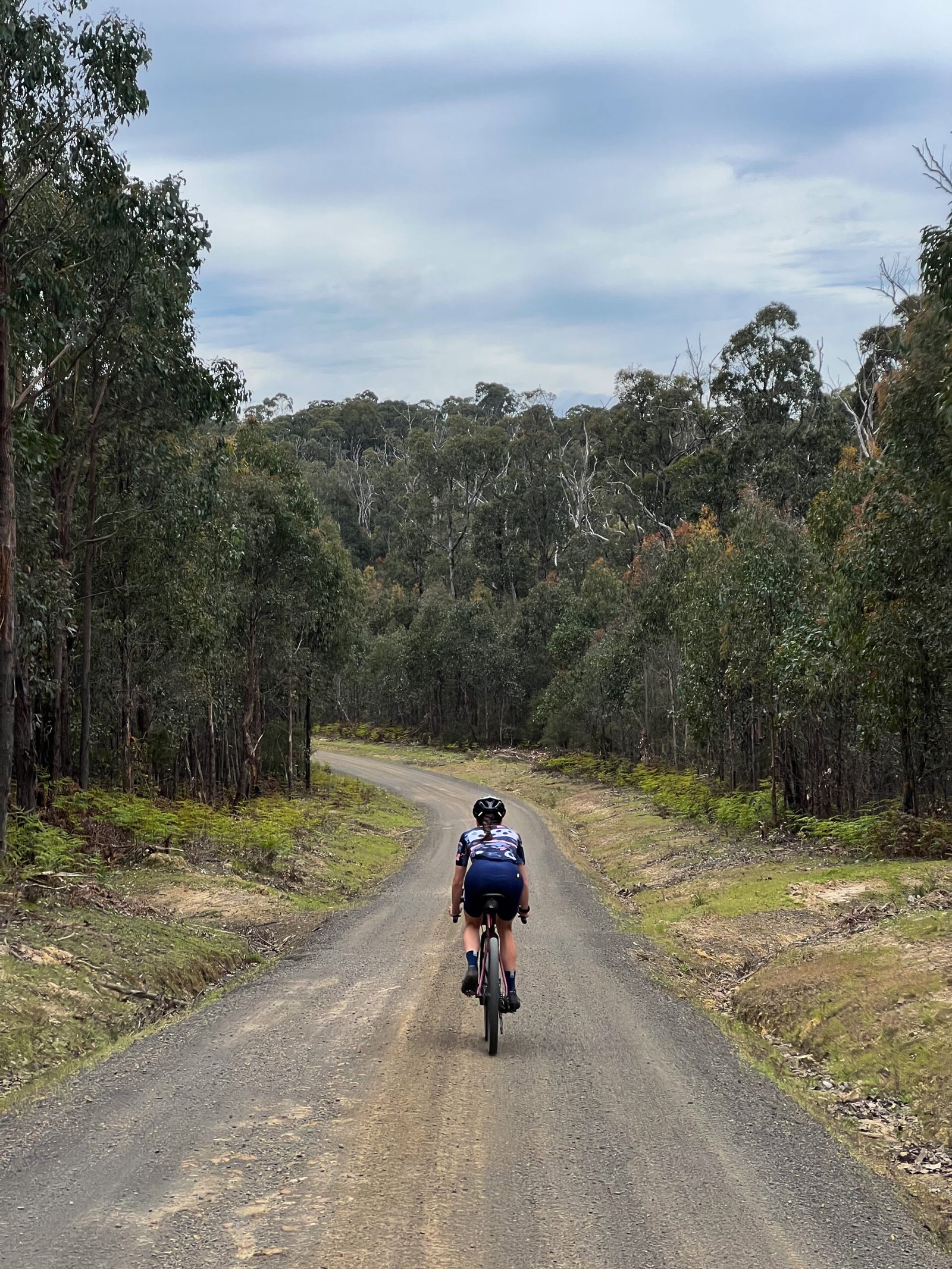
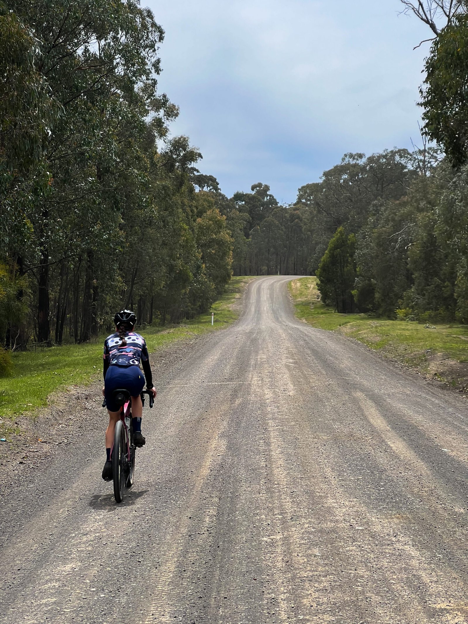
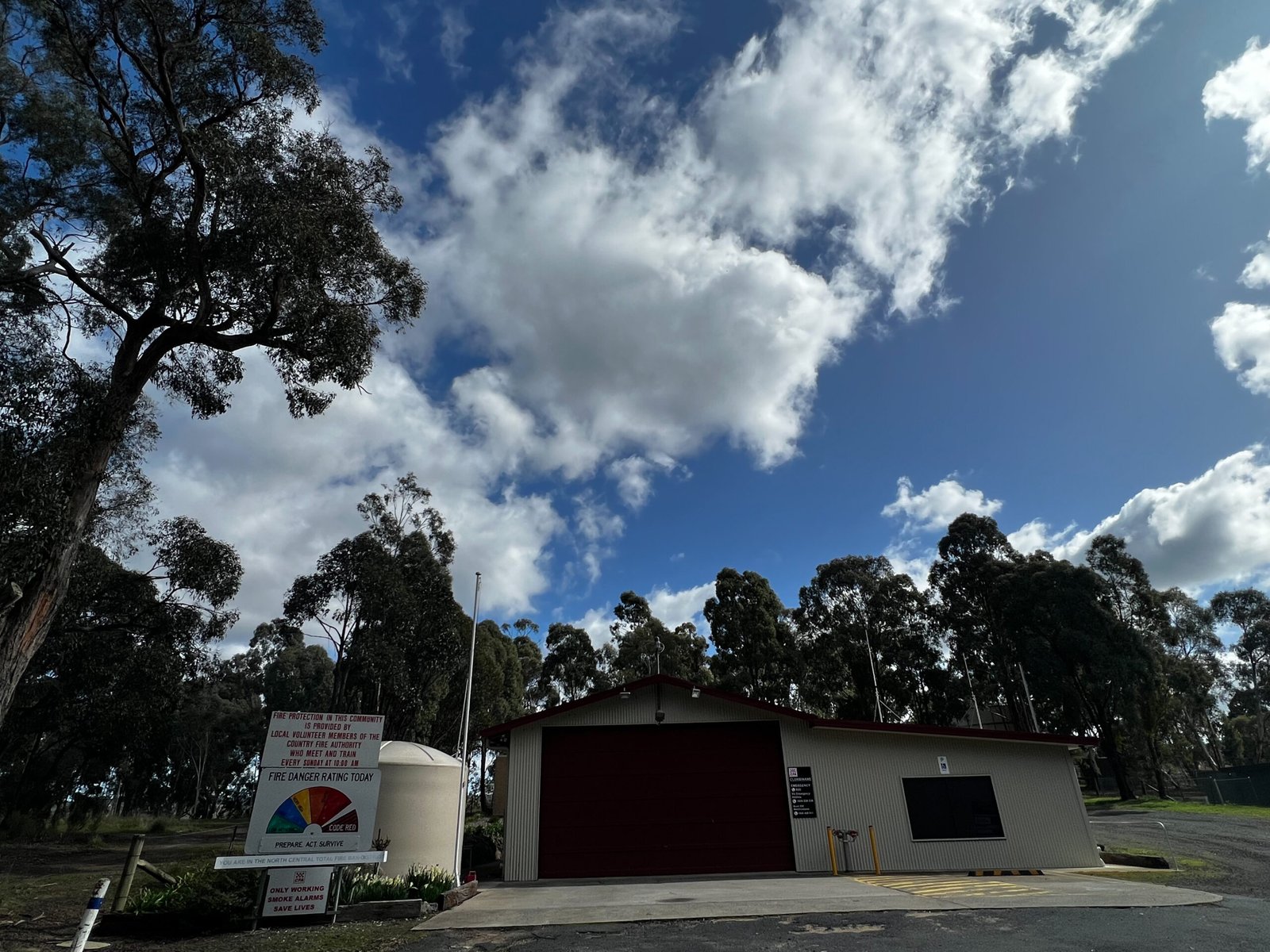
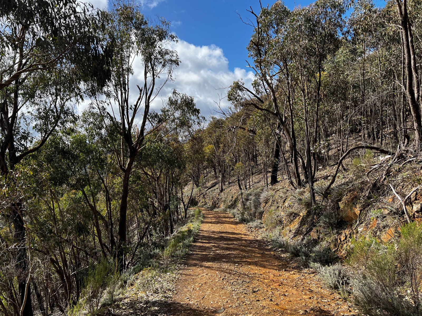
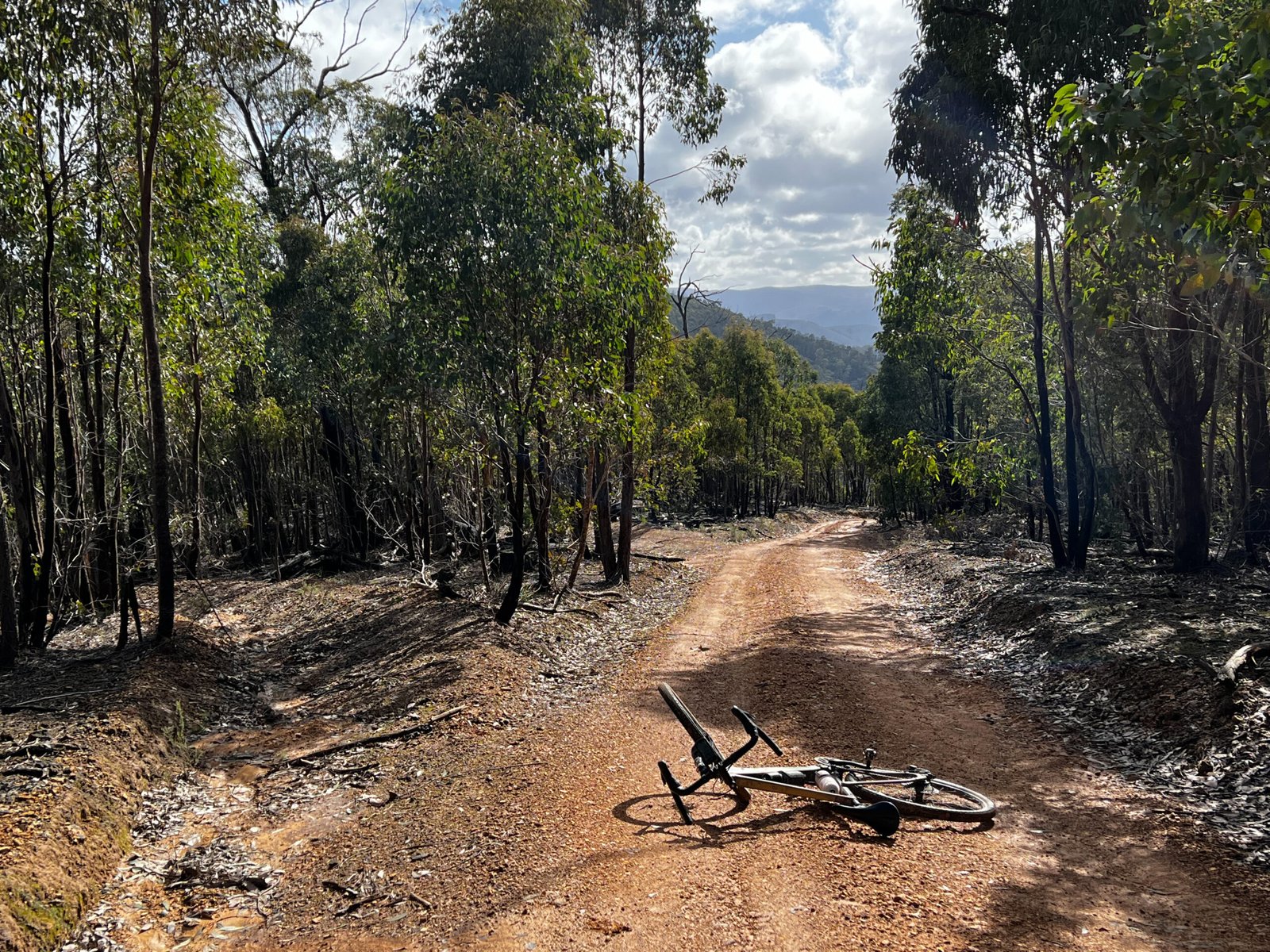
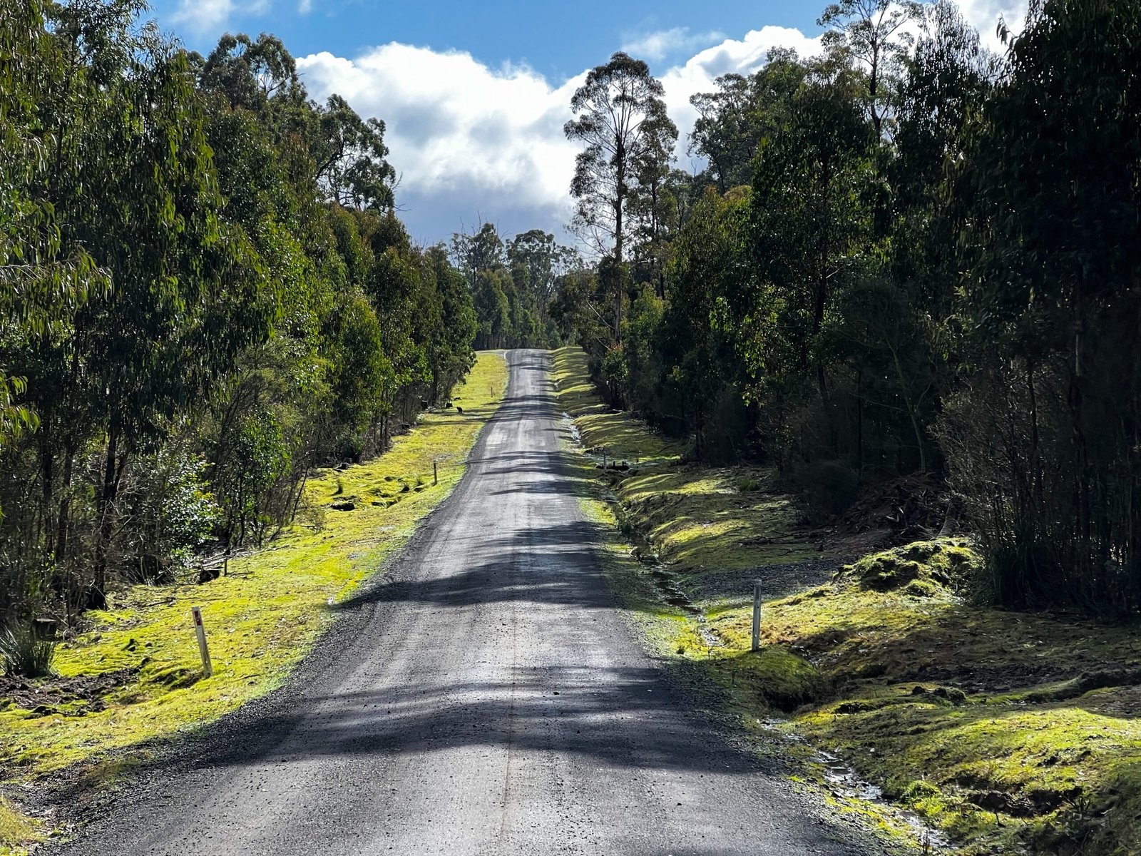
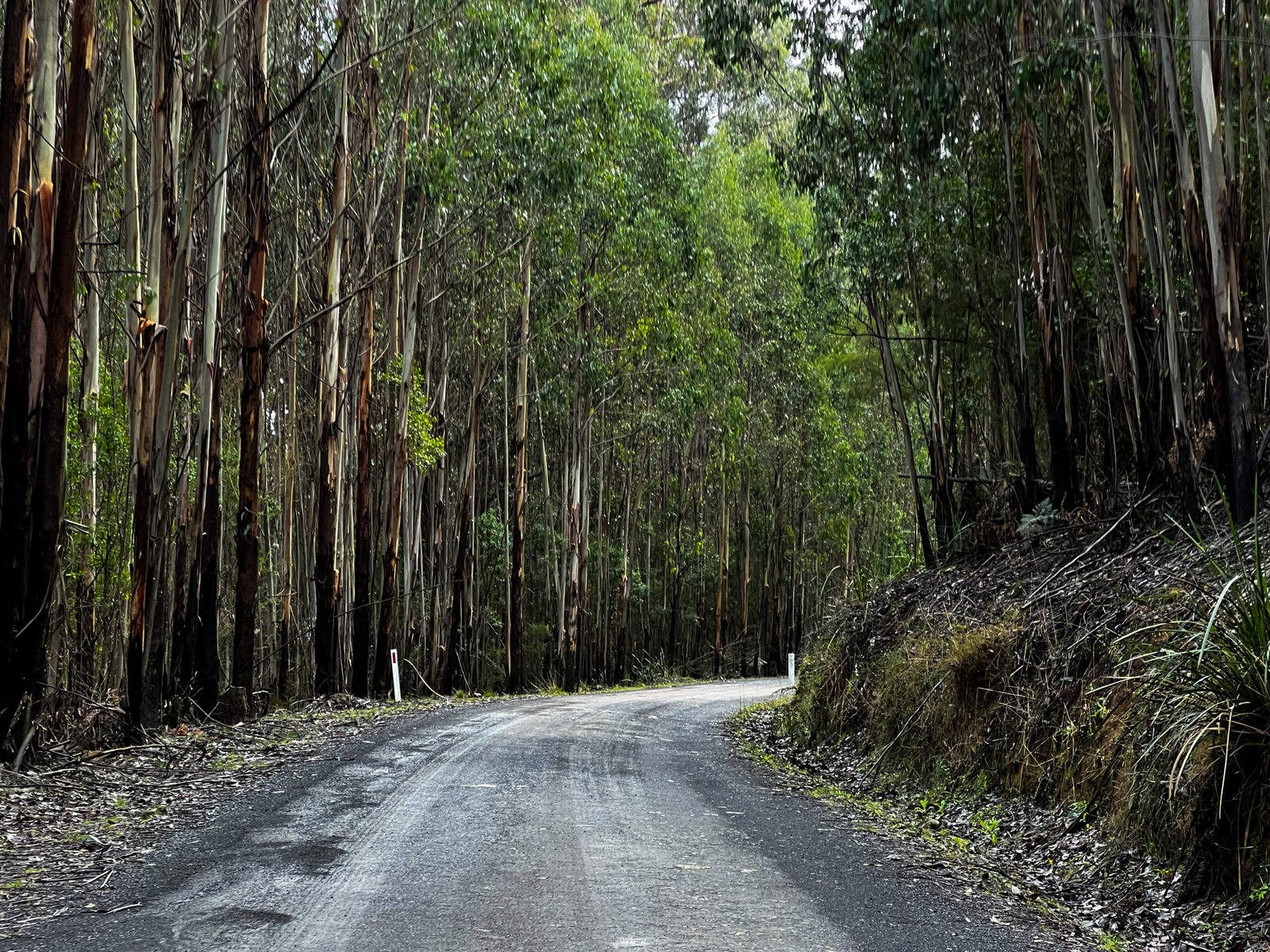
An 84.6 km gravel loop from Heathcote Junction, climbing into the tall eucalypt forest of the Mount Disappointment area before emerging onto the open hills around Strath Creek. Forest roads lead to a rough descent on McMahons Road and the rural climb along Falls Road. Murchison Gap Lookout is the big scenic pause, with a timber viewing deck above the Valley of a Thousand Hills, before the route turns back through the forest towards Clonbinane and Wandong.
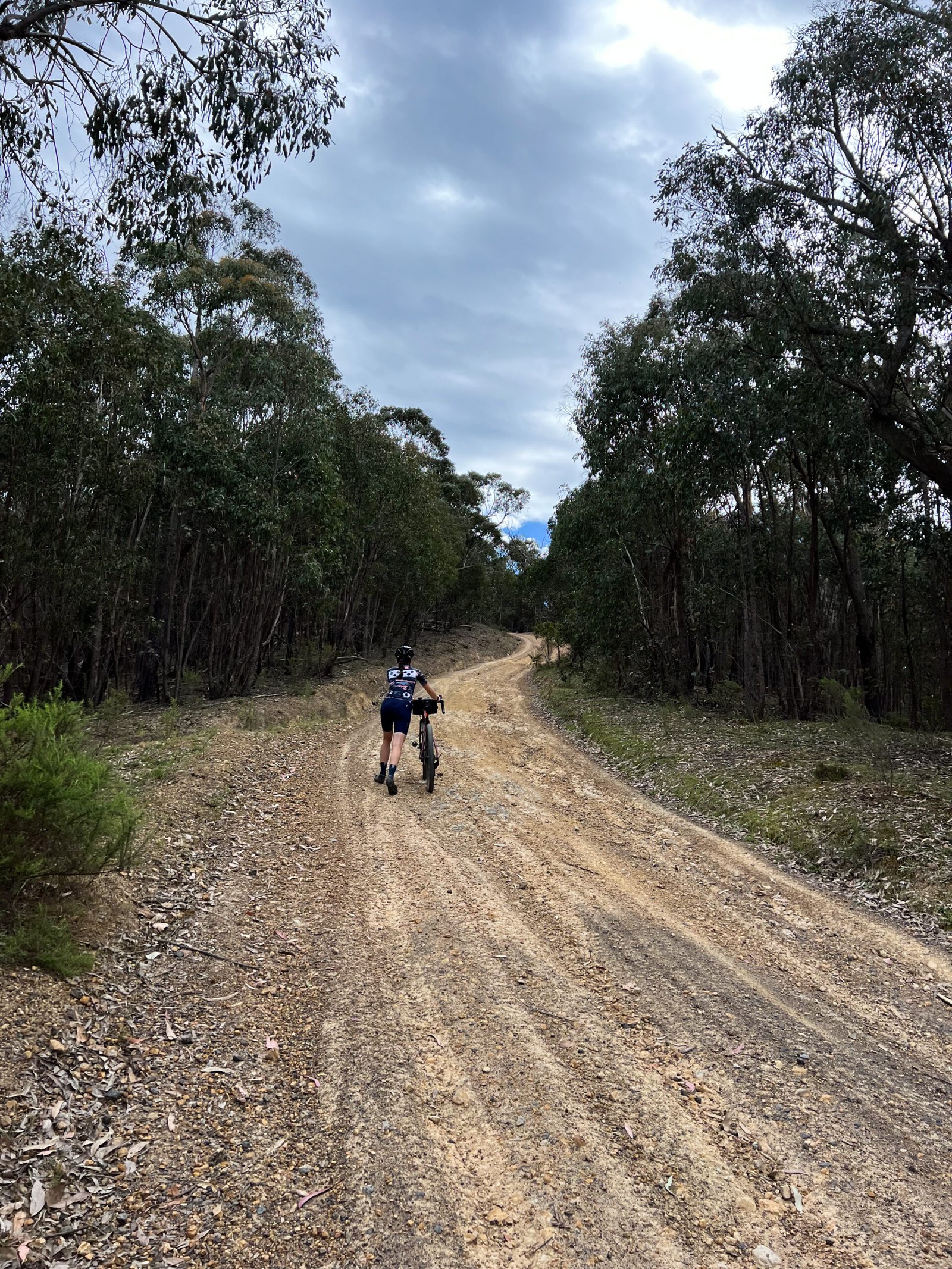
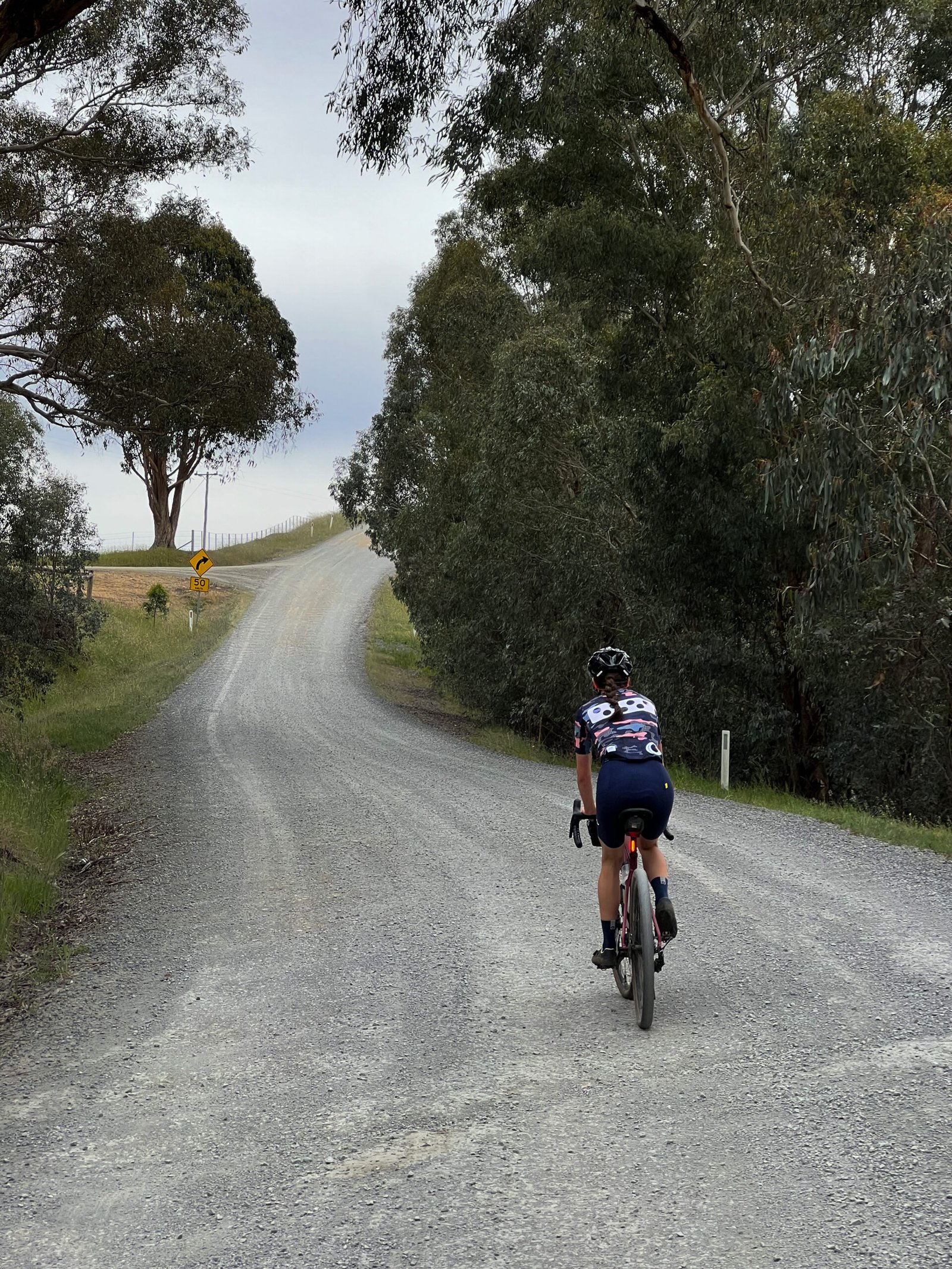
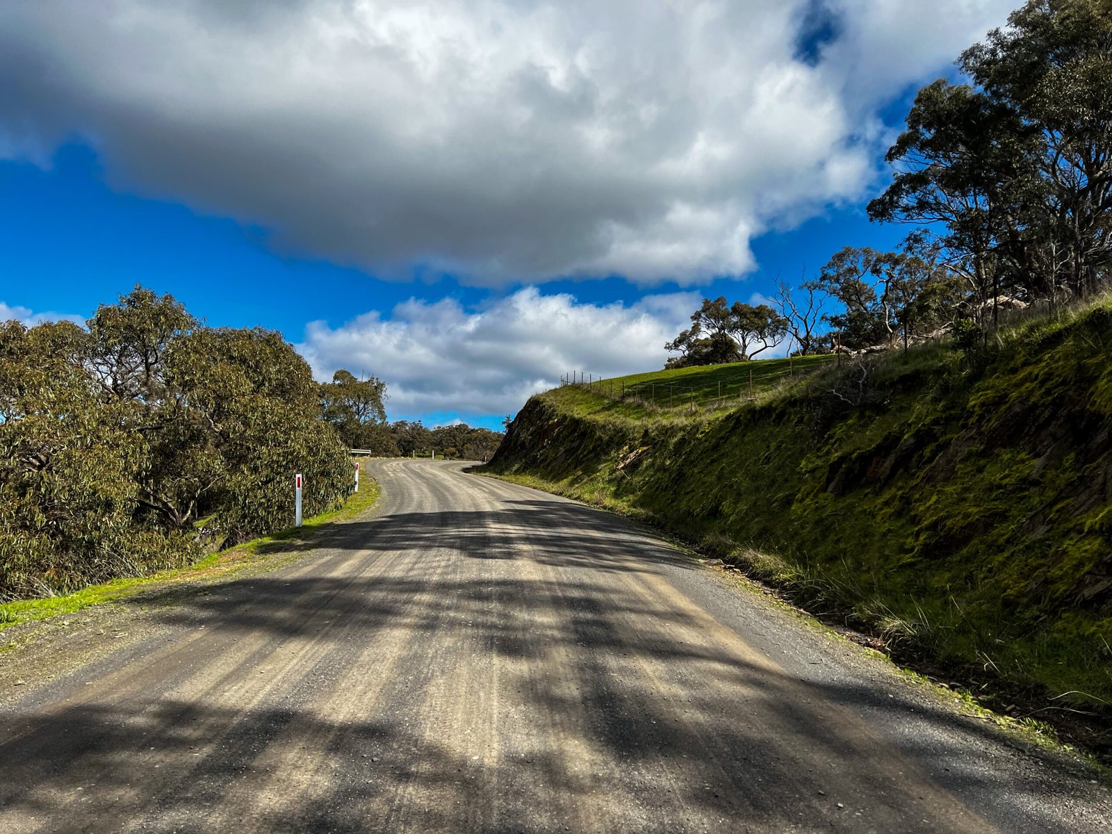
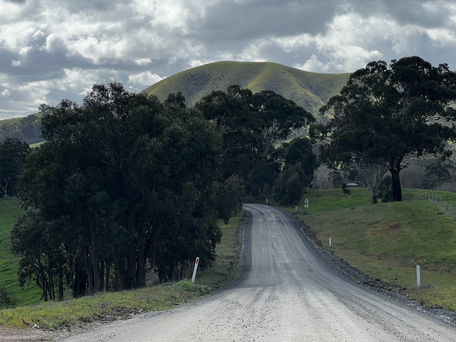
With about 1,538 m of climbing, this is a demanding day out rather than a gentle gravel cruise. Around 61% of the distance is explicitly mapped unpaved; the rest includes sealed roads and sections without a confirmed surface label. Expect loose gravel, rough four-wheel-drive tracks, steep descents and mud after rain. The late climb on Drag Hill Road can require pushing, while Dry Creek Road keeps the finish interesting. Low gearing and at least 40 mm tyres are the source ride’s starting point; wider tyres can make the rougher sections more manageable.
Carry food and plenty of drinking water: there are no dependable shops directly on the main loop. Number One Camp offers a short side visit near 24.5 km, with toilets, shelter and picnic tables but no water supply. Murchison Gap Lookout is near 44 km. Waterford Park Reserve is an optional rest detour around 65.7 km; do not rely on a public drinking-water tap there. Kemp’s Bakery in Wandong is a separate food-stop option before or after the ride, not on the loop itself, and its current hours need checking.
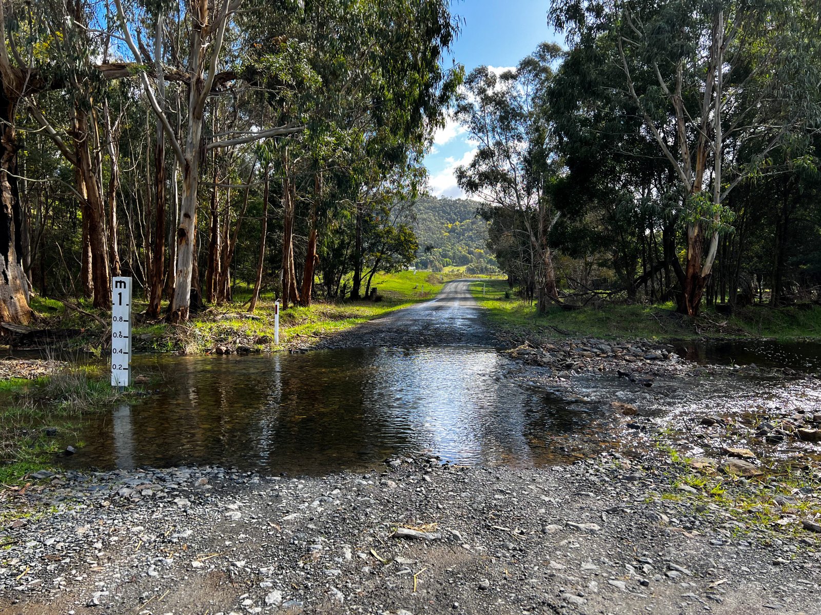
Start and finish at Heathcote Junction railway station, with regional train access subject to the current timetable and available bicycle space. Download the route before leaving town and check current forest, fire and road alerts. Drag Hill Road is seasonally gated: confirm access before setting out and never bypass a closure. The source ride also includes a water crossing on Falls Road; conditions can change after rain, so turn back if depth or flow is unsafe. Traffic-stress colours describe exposure to traffic, not the difficulty or condition of these forest tracks.
Route photos
Photos
Community photos load after the main route details so the page can appear faster.
Reviews
Reviews load after the main route details so the page can appear faster.
Get the full experience in the app
