Gravel Road Rides
12 October 2026
Kinglake & Toolangi Loop
Loading map...
The route details are ready. The interactive map is loading separately.
Points of Interest
Points of interest load after the main route details so the page can appear faster.
Route Description
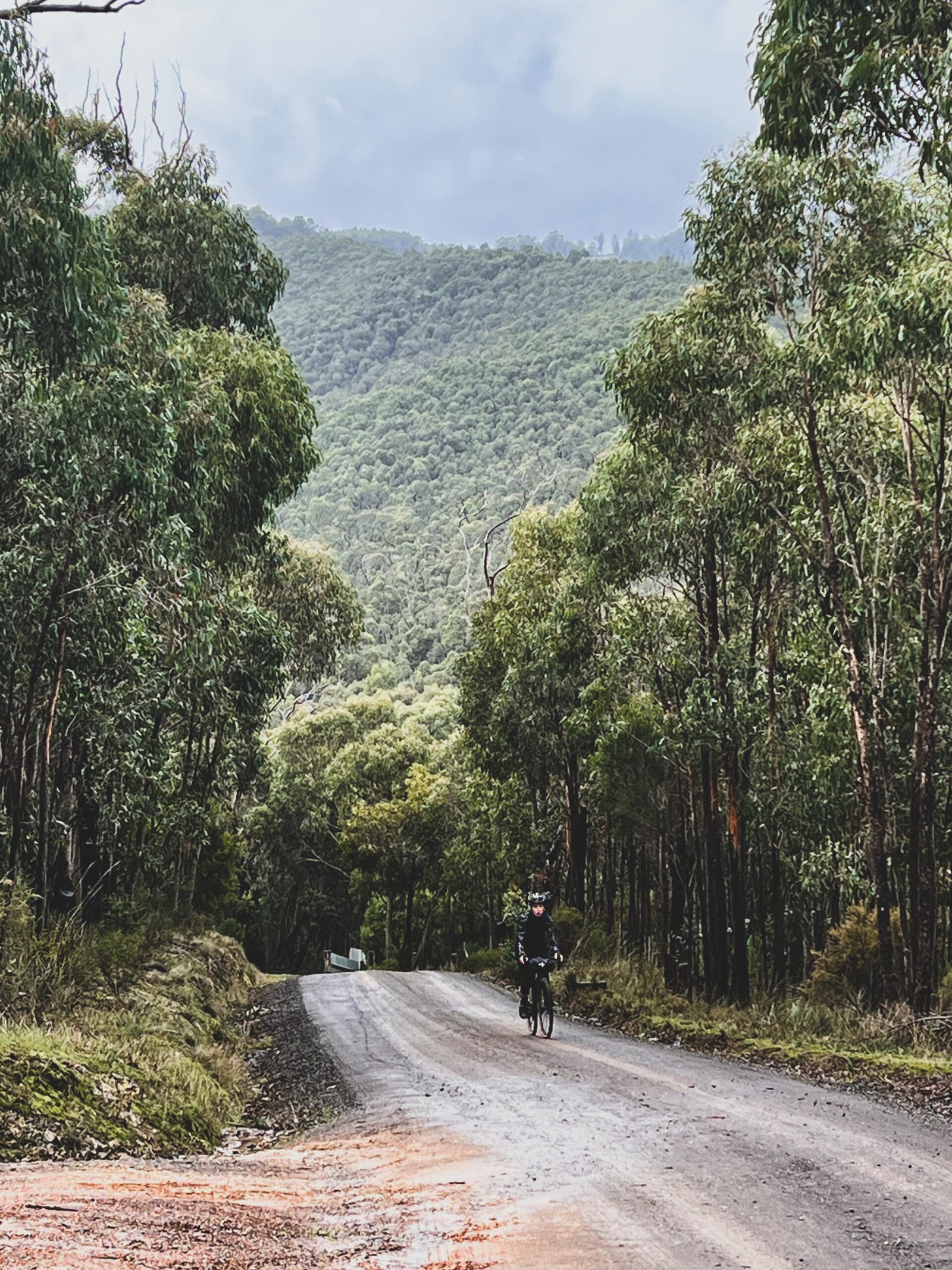
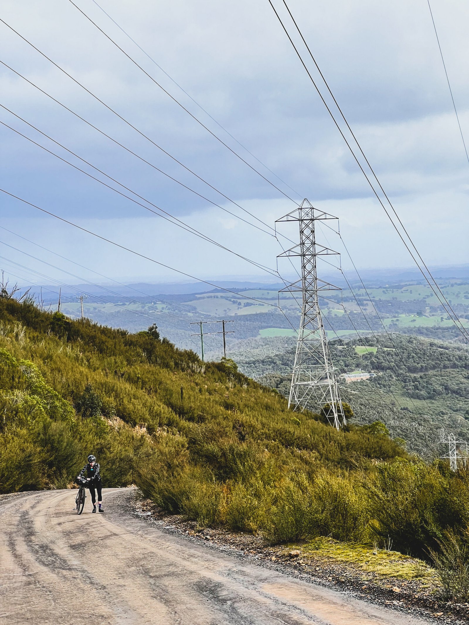
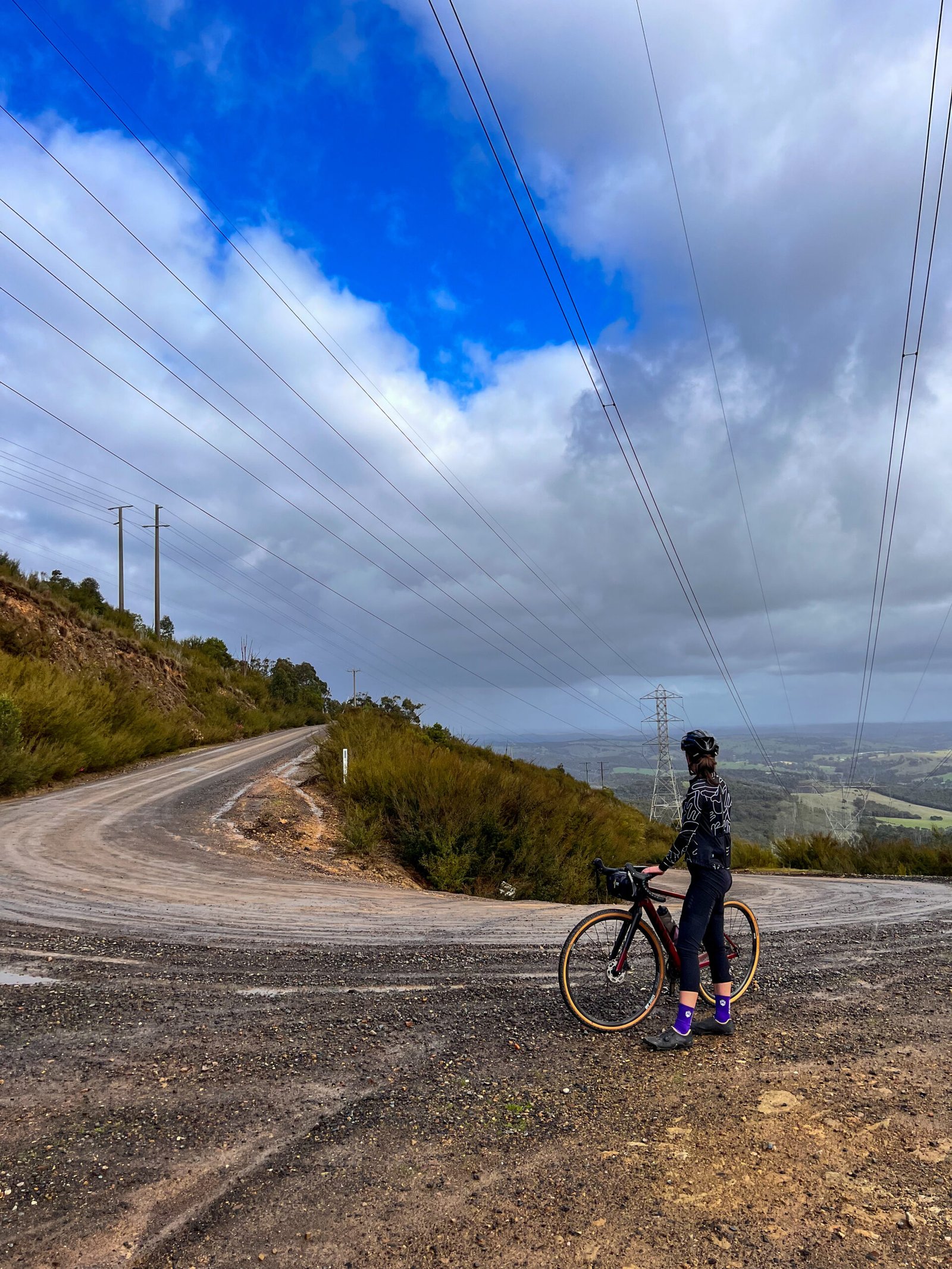
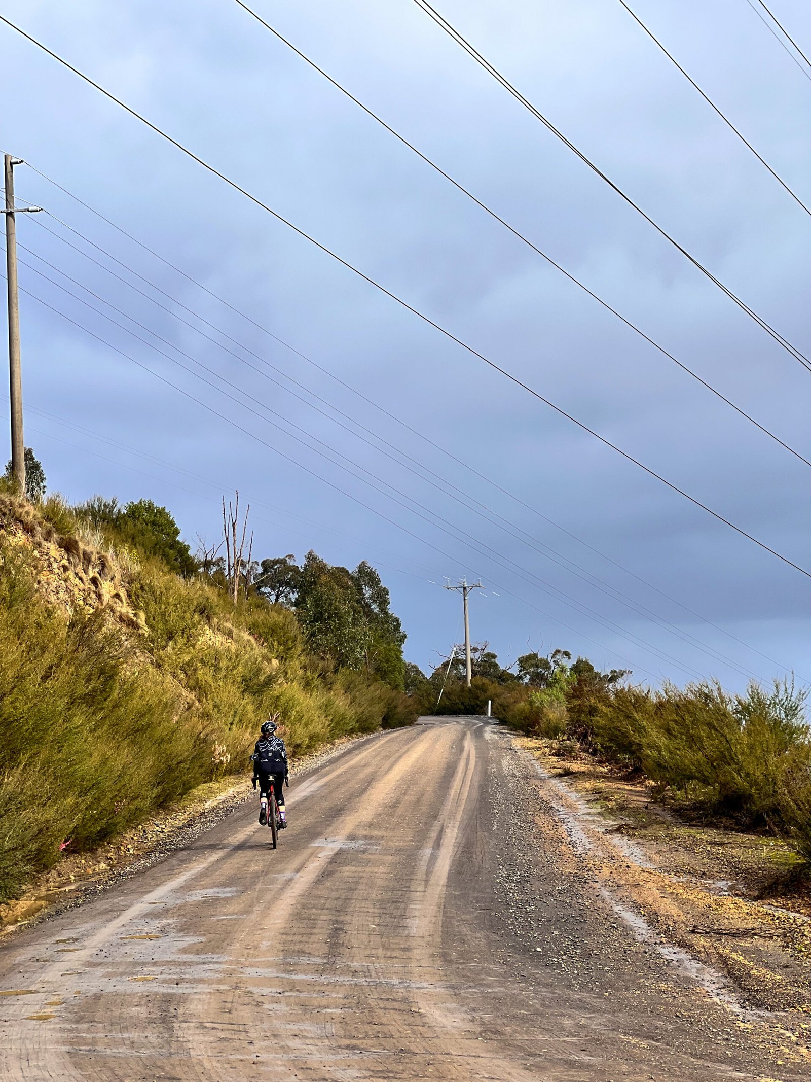
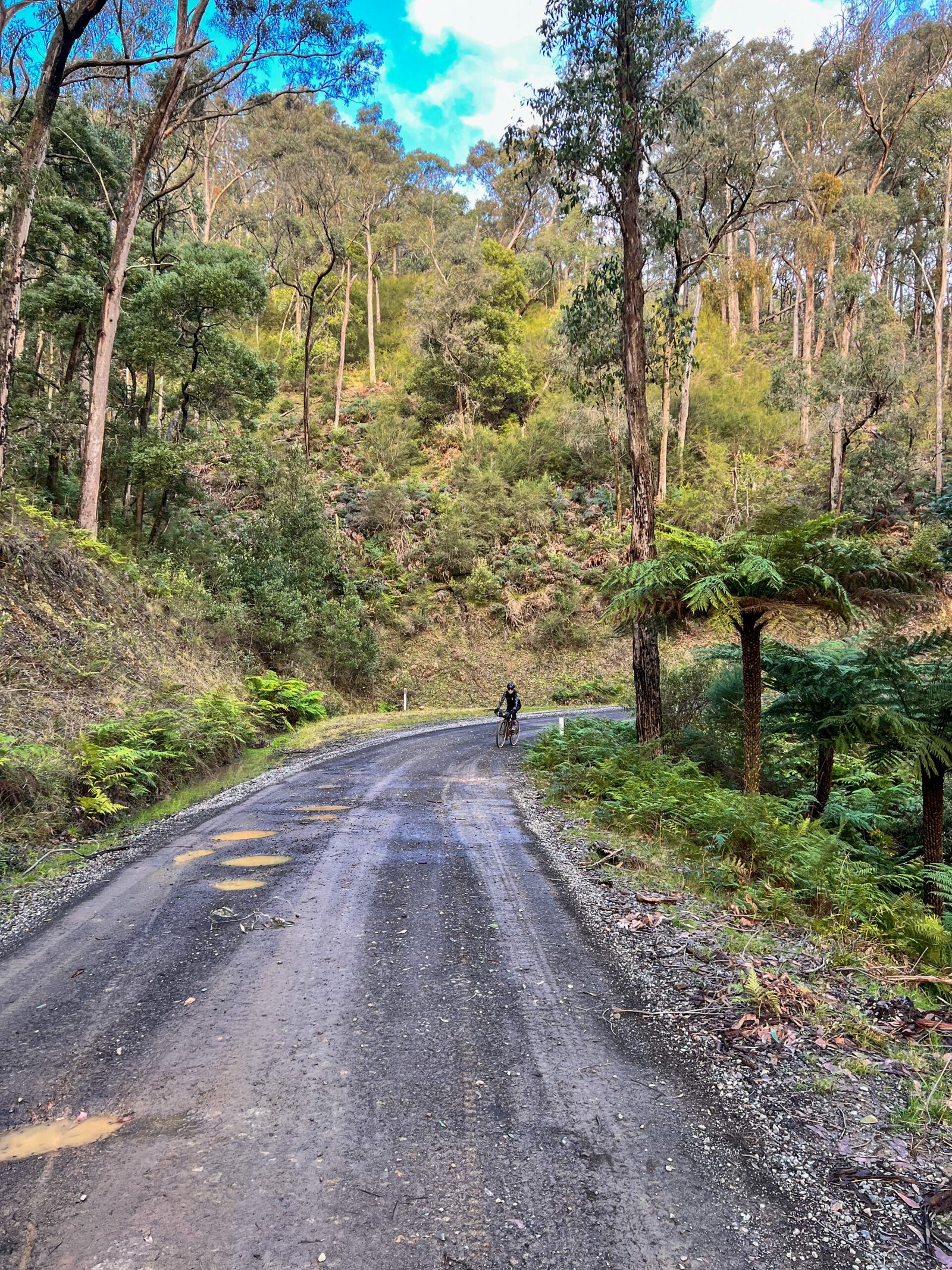
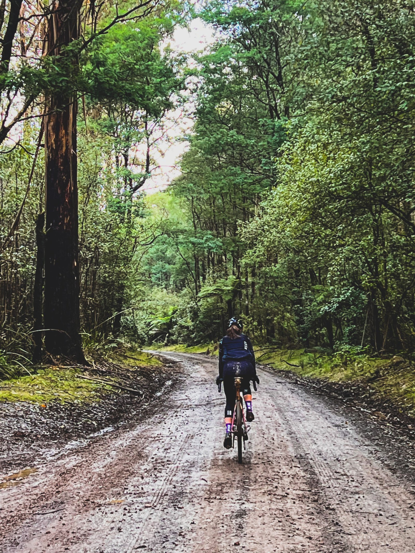
An 88.2 km gravel adventure from St Andrews, linking the steep foothills of Kinglake National Park with the tall forests of Toolangi State Forest. With about 1,946 m of climbing, rough tracks and several substantial climbs, this is a demanding all-day ride rather than a gentle gravel cruise. Roll out through the lanes around Strathewen, climb the open Bowden Spur switchbacks for valley views, then head through Extons Road and Captains Creek Road towards the forest.
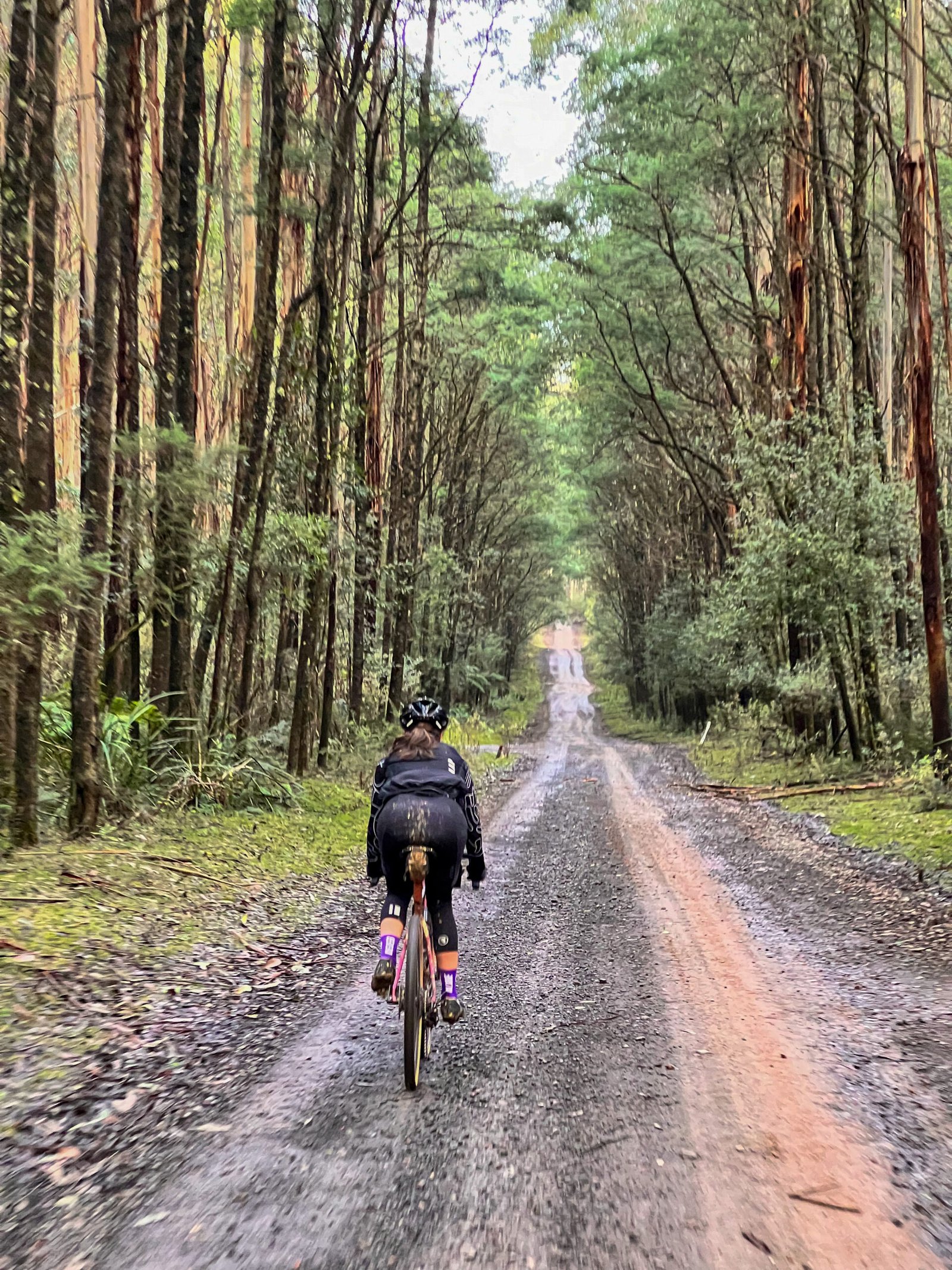
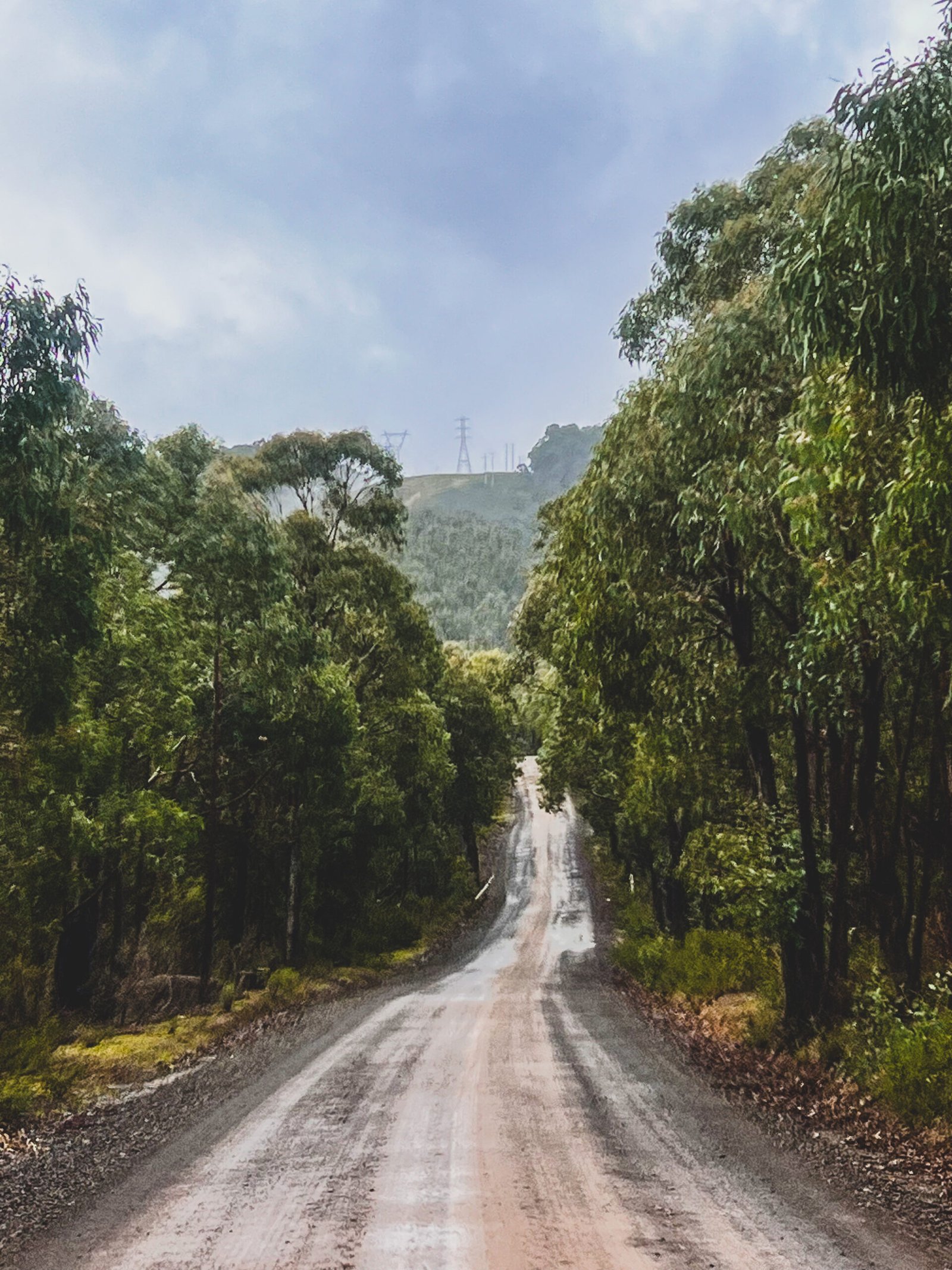
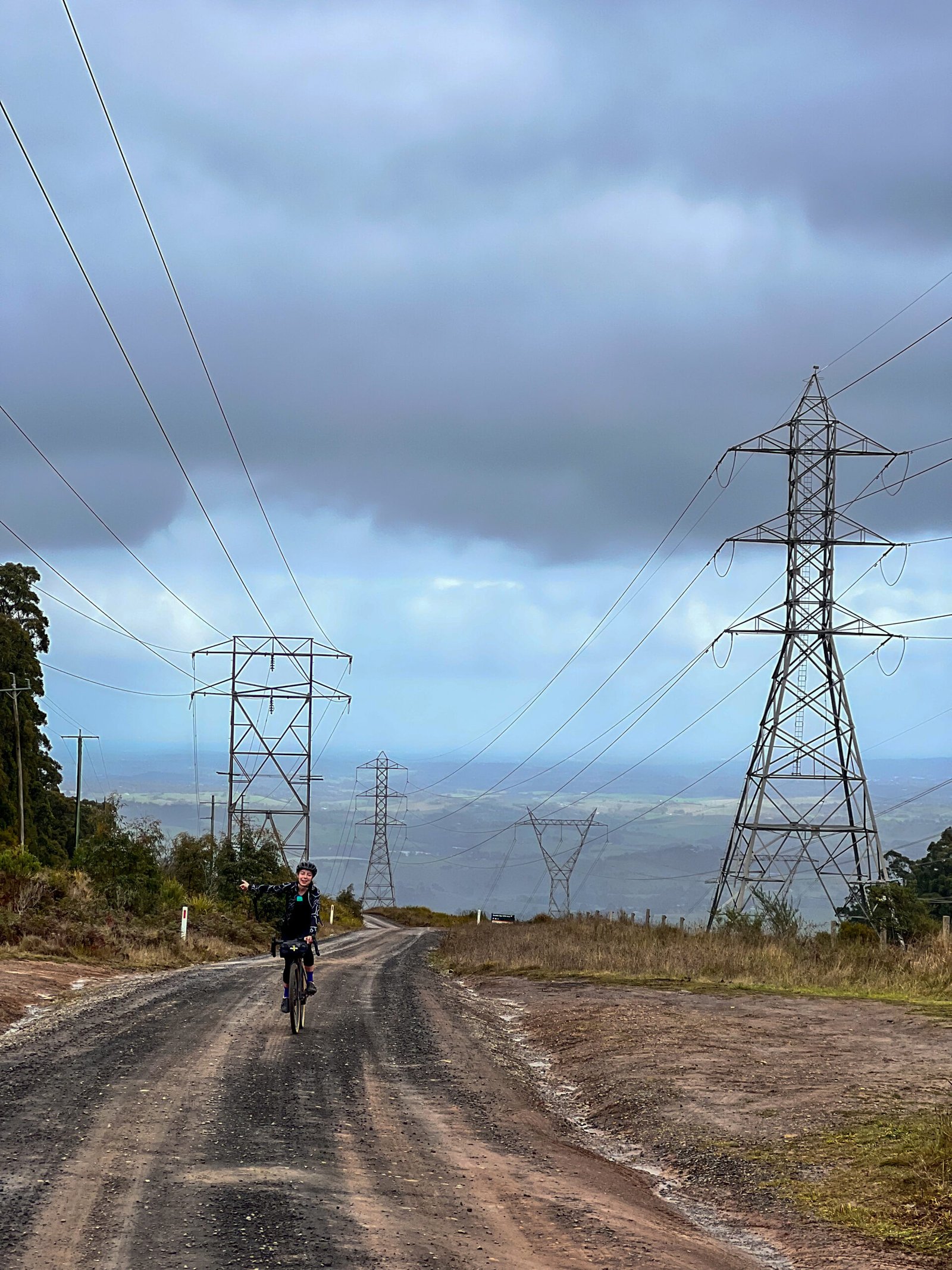
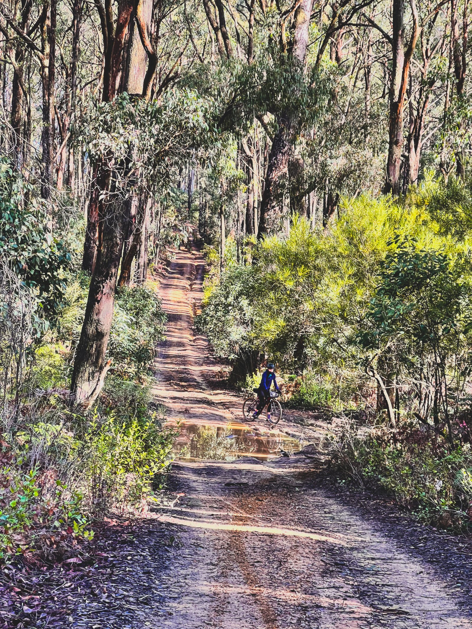
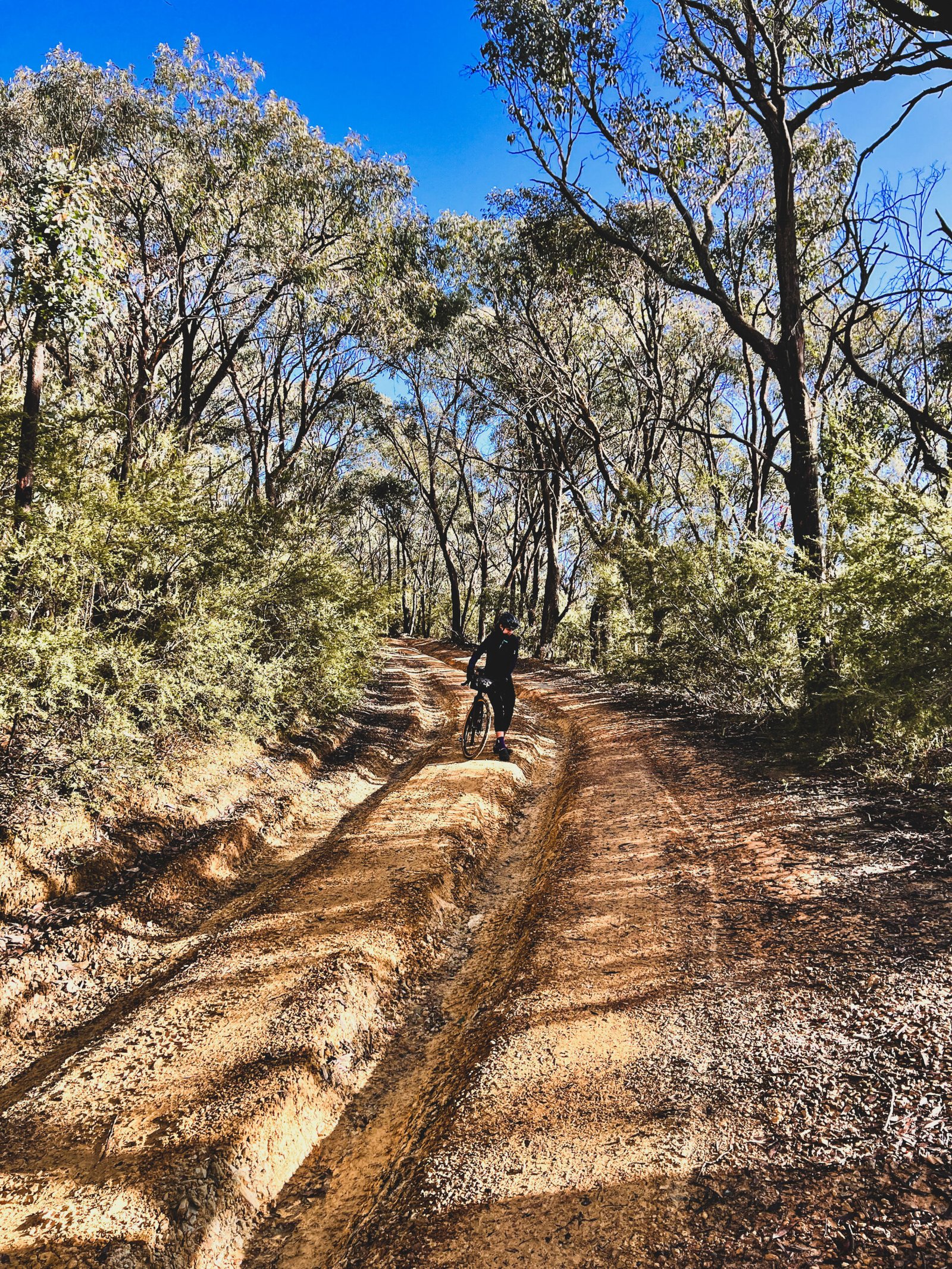
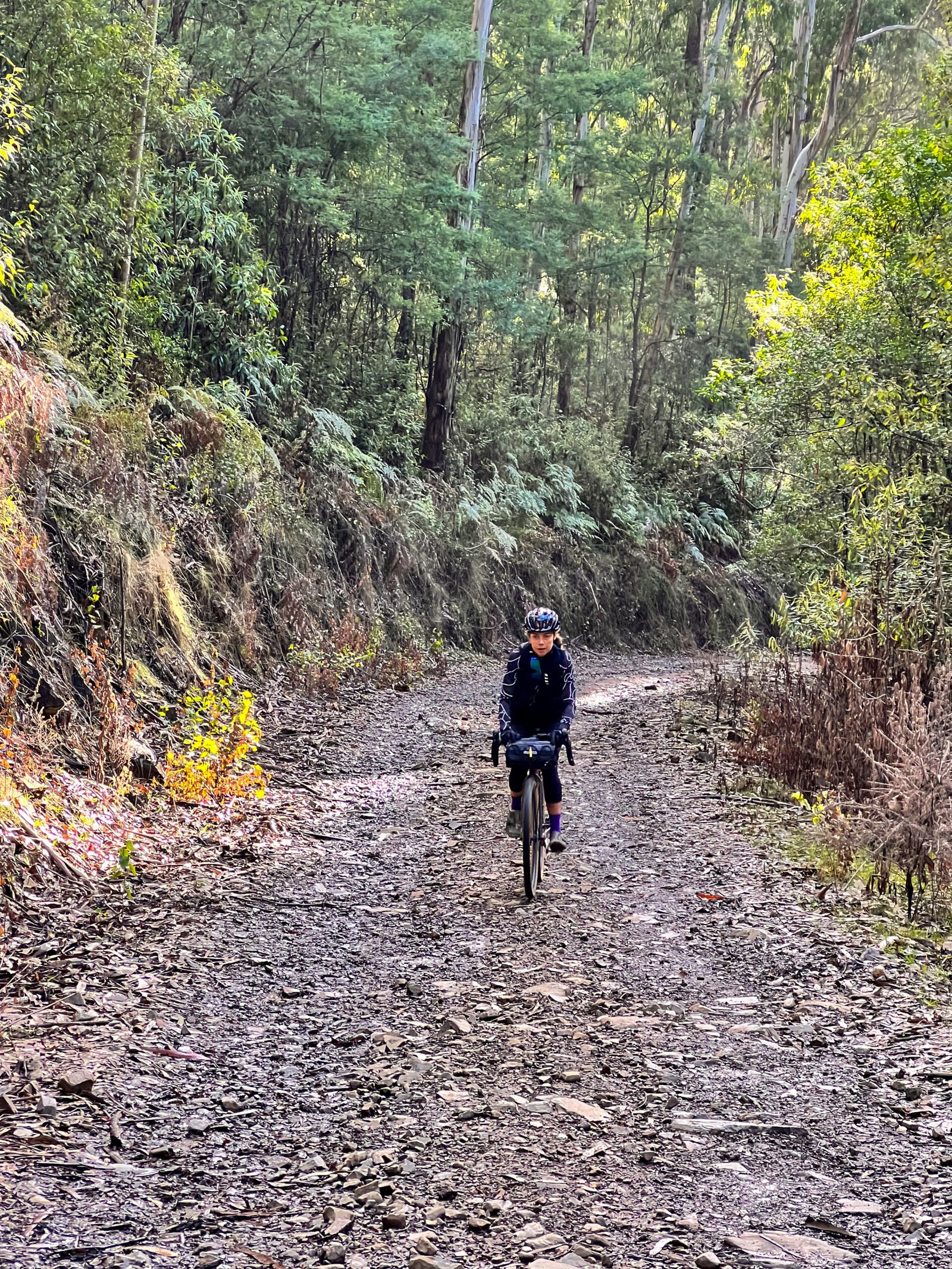
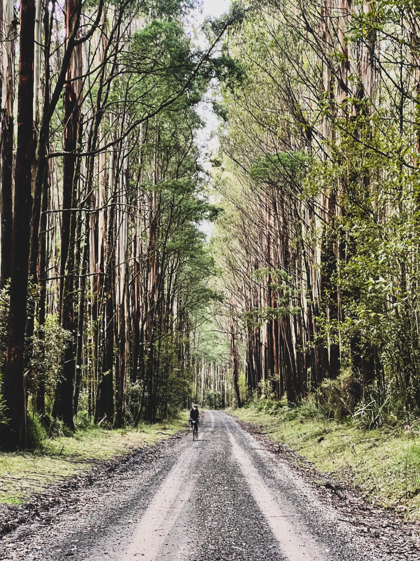
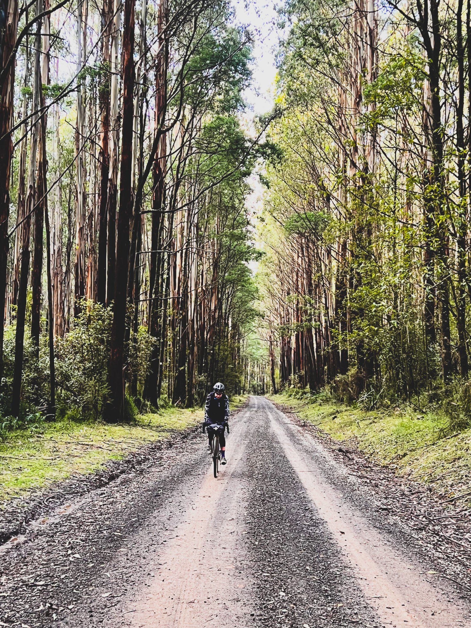
Beyond the first Melba Highway link, Marginal and Spraggs roads bring long forest climbs, rocky sections and tall eucalypts. The route then drops via Old Toolangi–Dixons Creek Road before another highway link to Hunts Lane. Steep pinches here can mean walking the bike. Old Kinglake Road and the rougher Mount Everard Track section make for a tough final act before the return through Smiths Gully to St Andrews.
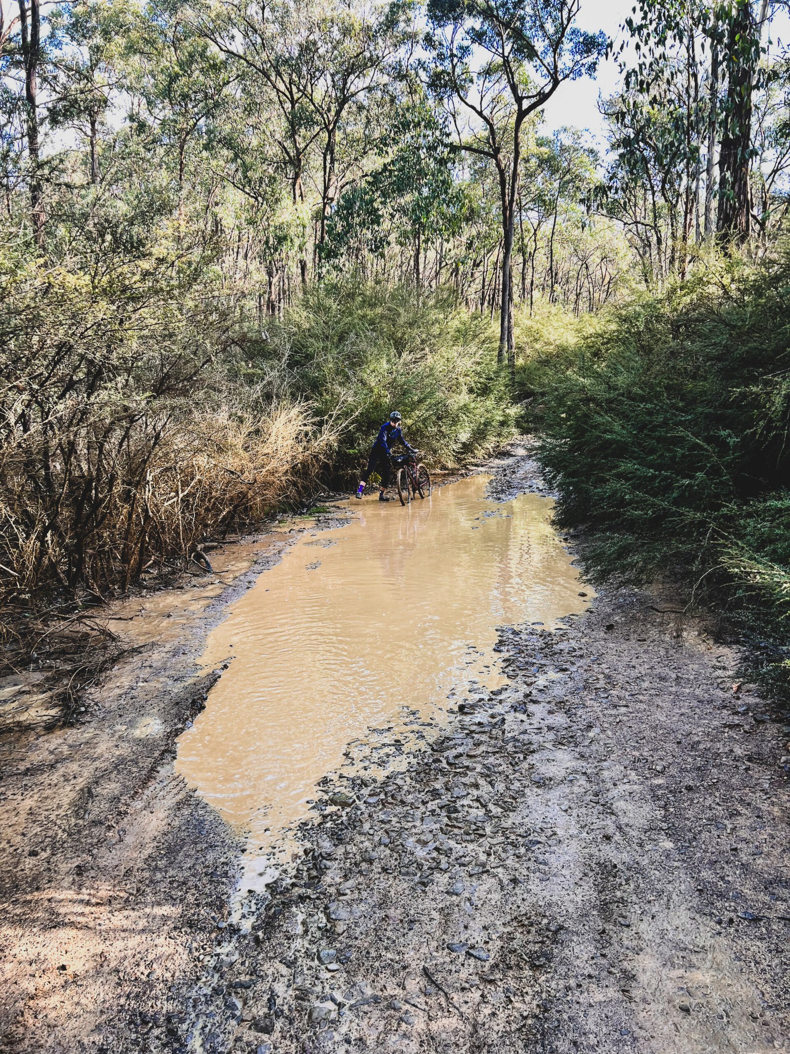
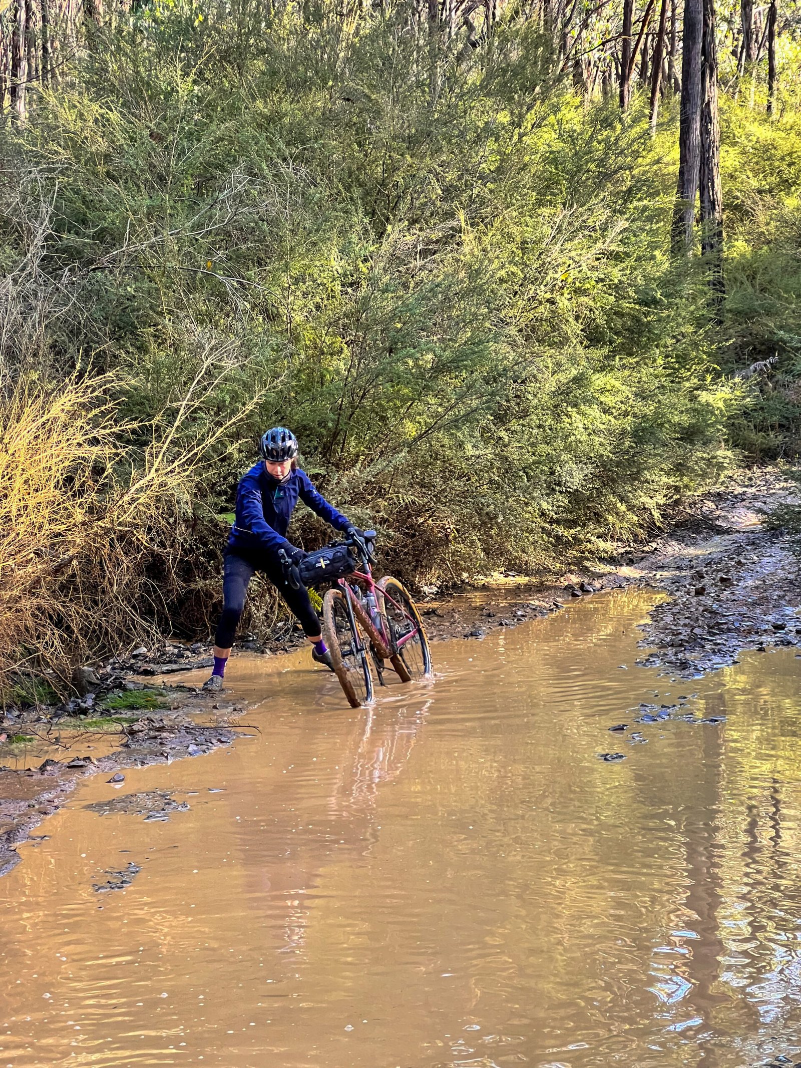
The detailed surface data identifies about 57% as unpaved, 20% as paved and 23% without a confirmed surface label. Expect a mix of gravel roads, rough rock, loose descents and mud after rain. Low gears and tyres of at least 45 mm are sensible; wider tyres or a mountain bike may suit the roughest sections. Check conditions before committing to Captains Creek Road or Mount Everard Track, and walk anything beyond your traction or confidence. The two Melba Highway links are about 0.6 km and 1.9 km: these are sections ridden alongside fast traffic, not merely road crossings. Traffic-stress colours do not measure steepness or technical difficulty.
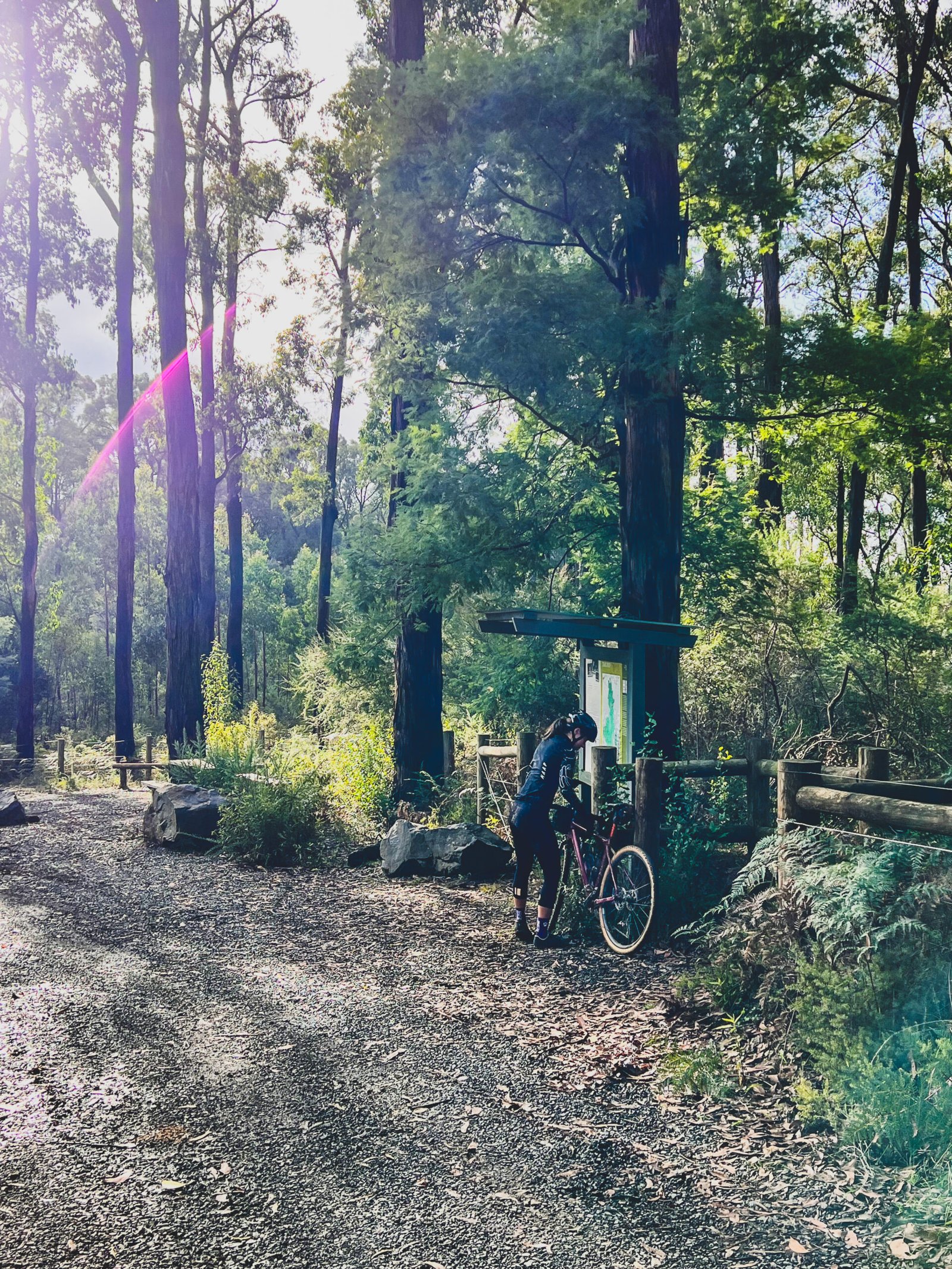
Start and finish in St Andrews, where the public parking area and town-hall toilets are close to the loop. Carry enough drinking water and food for the whole forest circuit: this line bypasses the centres of Kinglake and Toolangi, and the former Dixons Creek Café is closed. Back in town, the Saturday market, St Andrews Hotel and Kindred Hearth Bakehouse offer optional stops, subject to opening hours. Hurstbridge station is roughly 11 km away by road, an additional connection not included in this distance. Download the route, check current park, forest and fire alerts, respect gates and closures, and stay on marked tracks around old mining areas.
Route photos

Photos
Community photos load after the main route details so the page can appear faster.
Reviews
Reviews load after the main route details so the page can appear faster.
Get the full experience in the app
