Gravel Road Rides
11 October 2026
Heathcote State Forests Loop
Loading map...
The route details are ready. The interactive map is loading separately.
Points of Interest
Points of interest load after the main route details so the page can appear faster.
Route Description
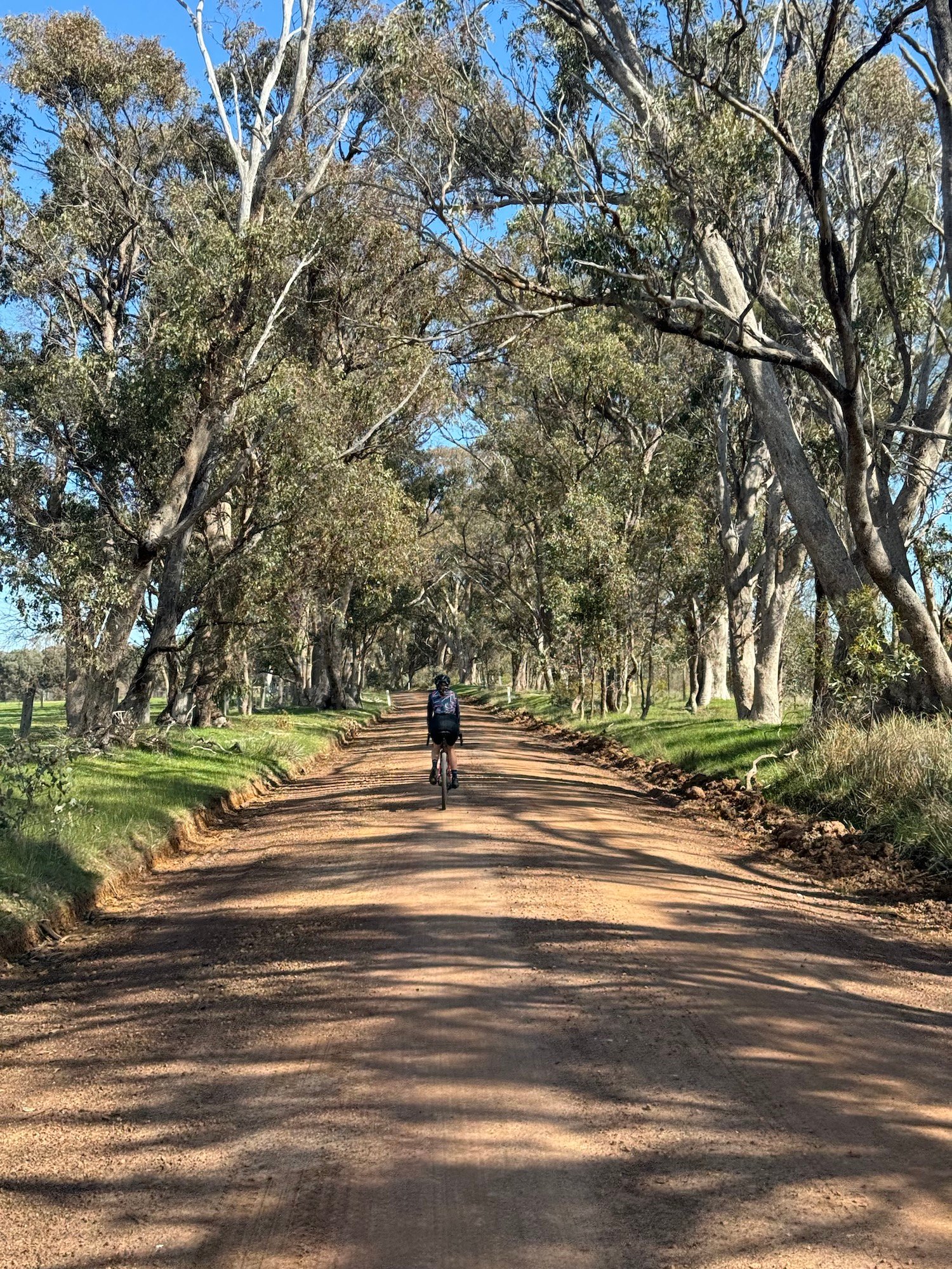
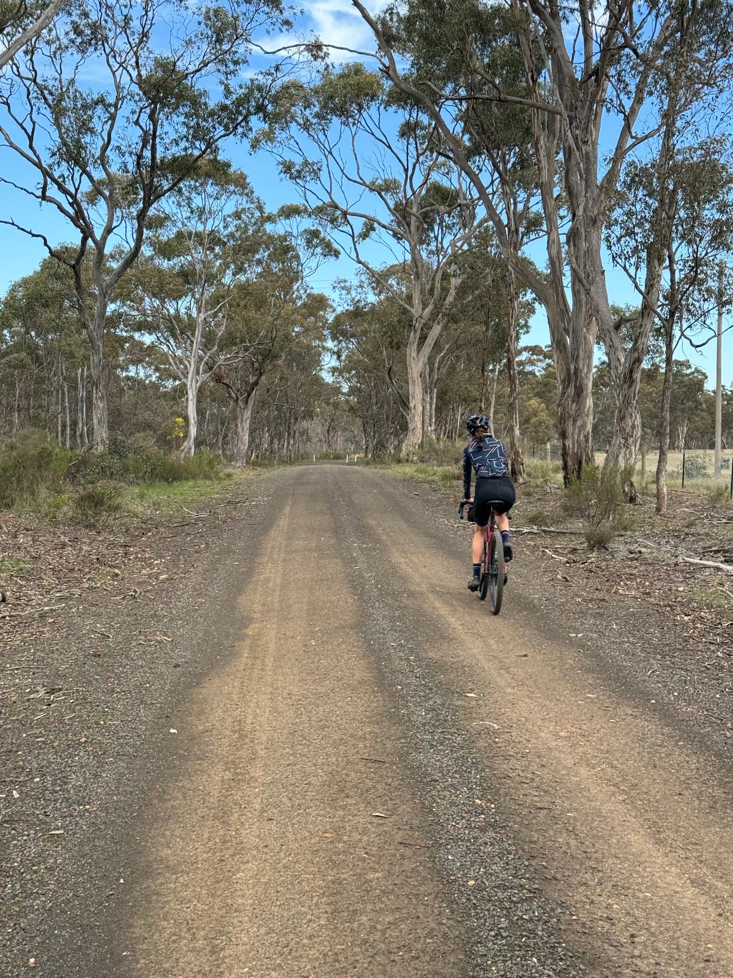
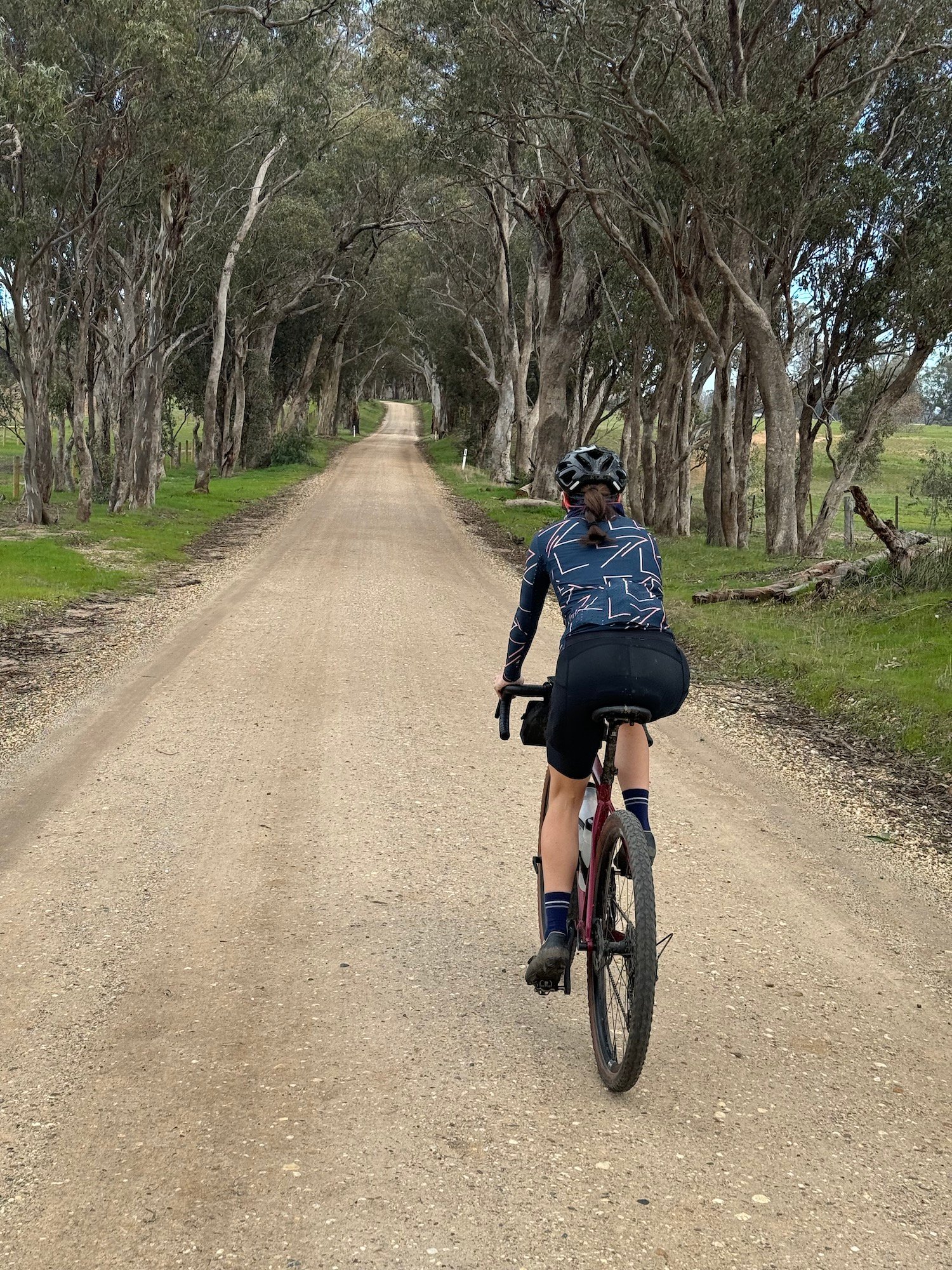
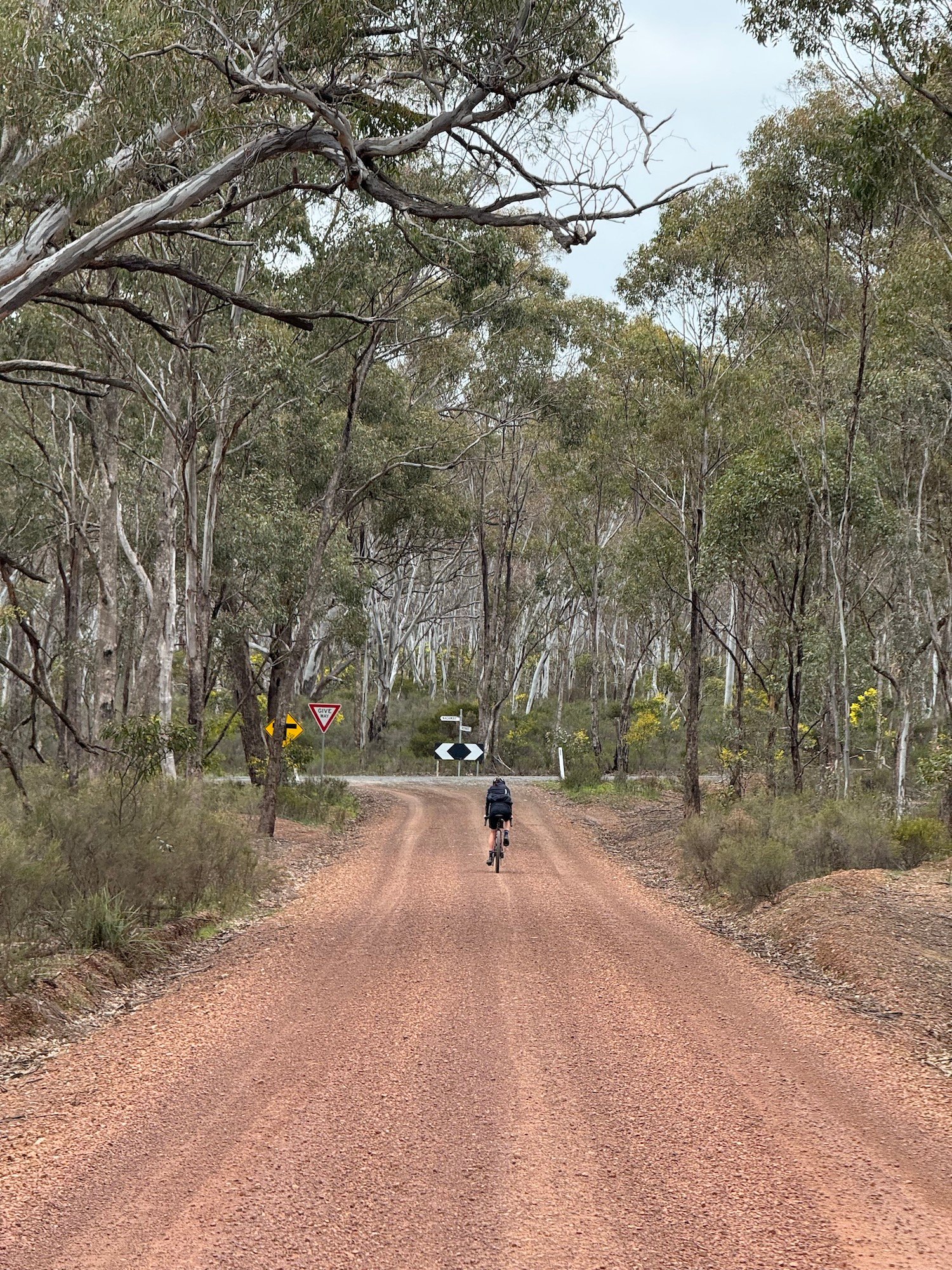
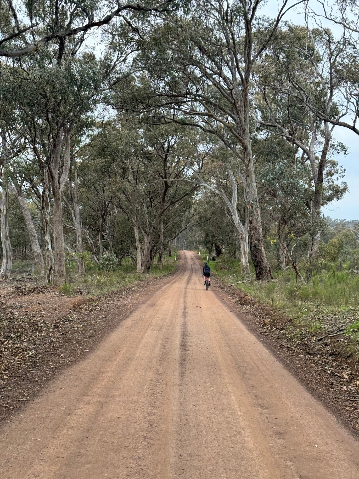
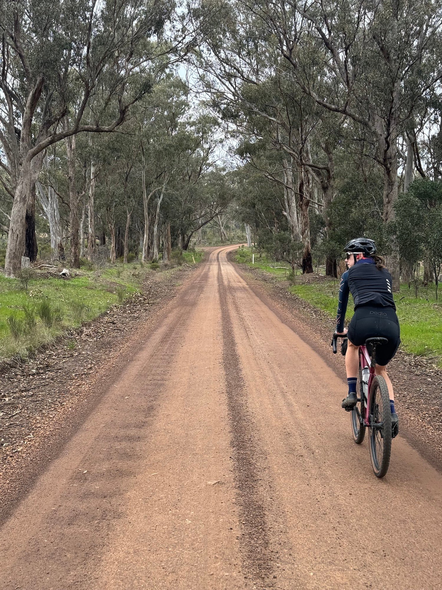
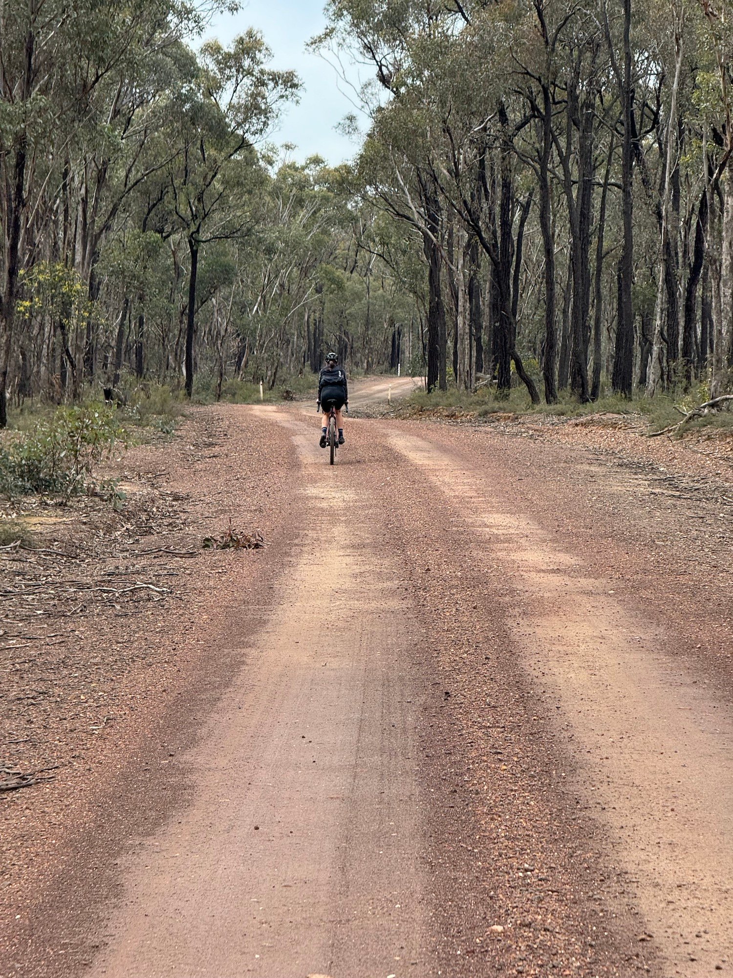
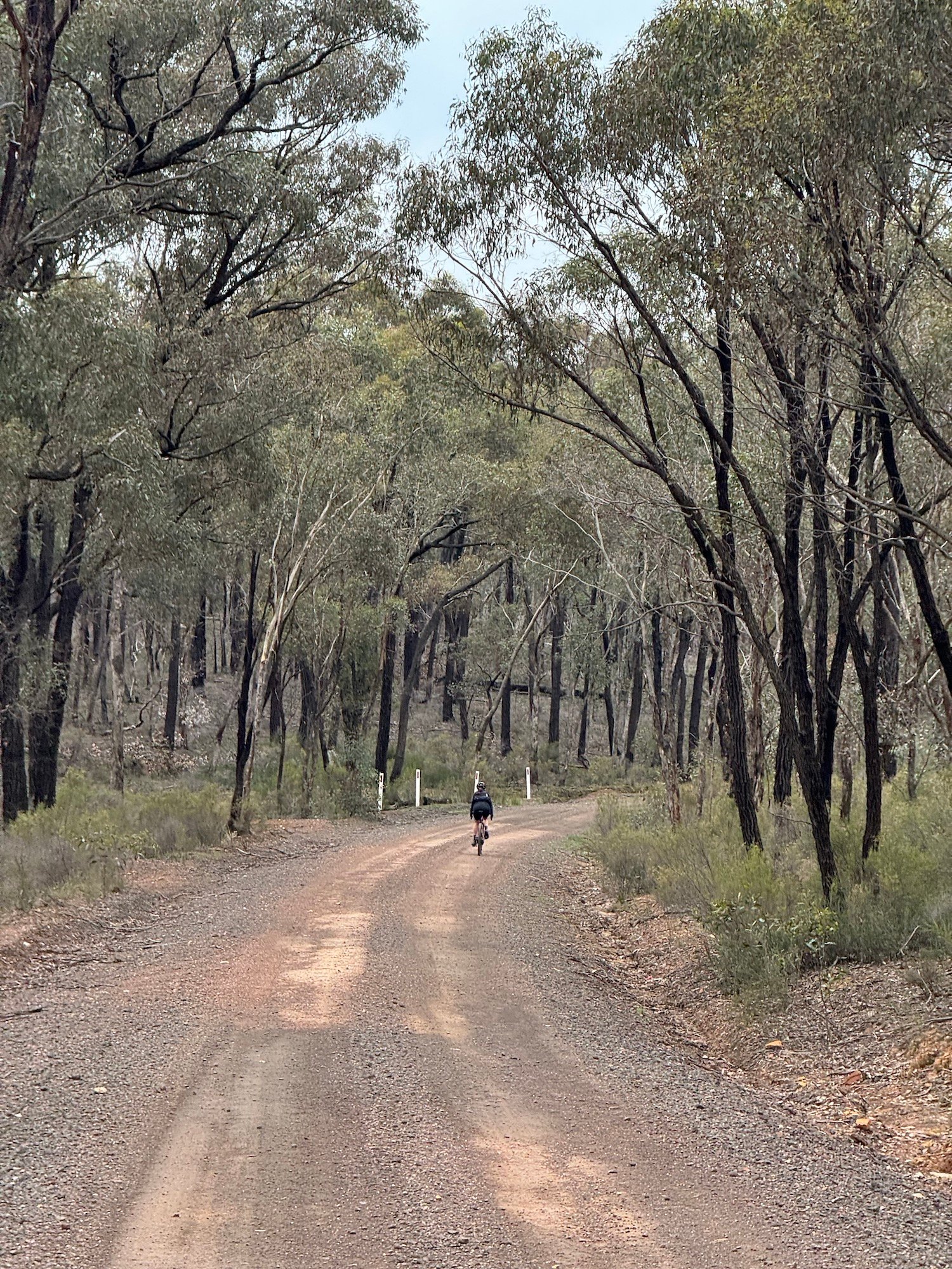
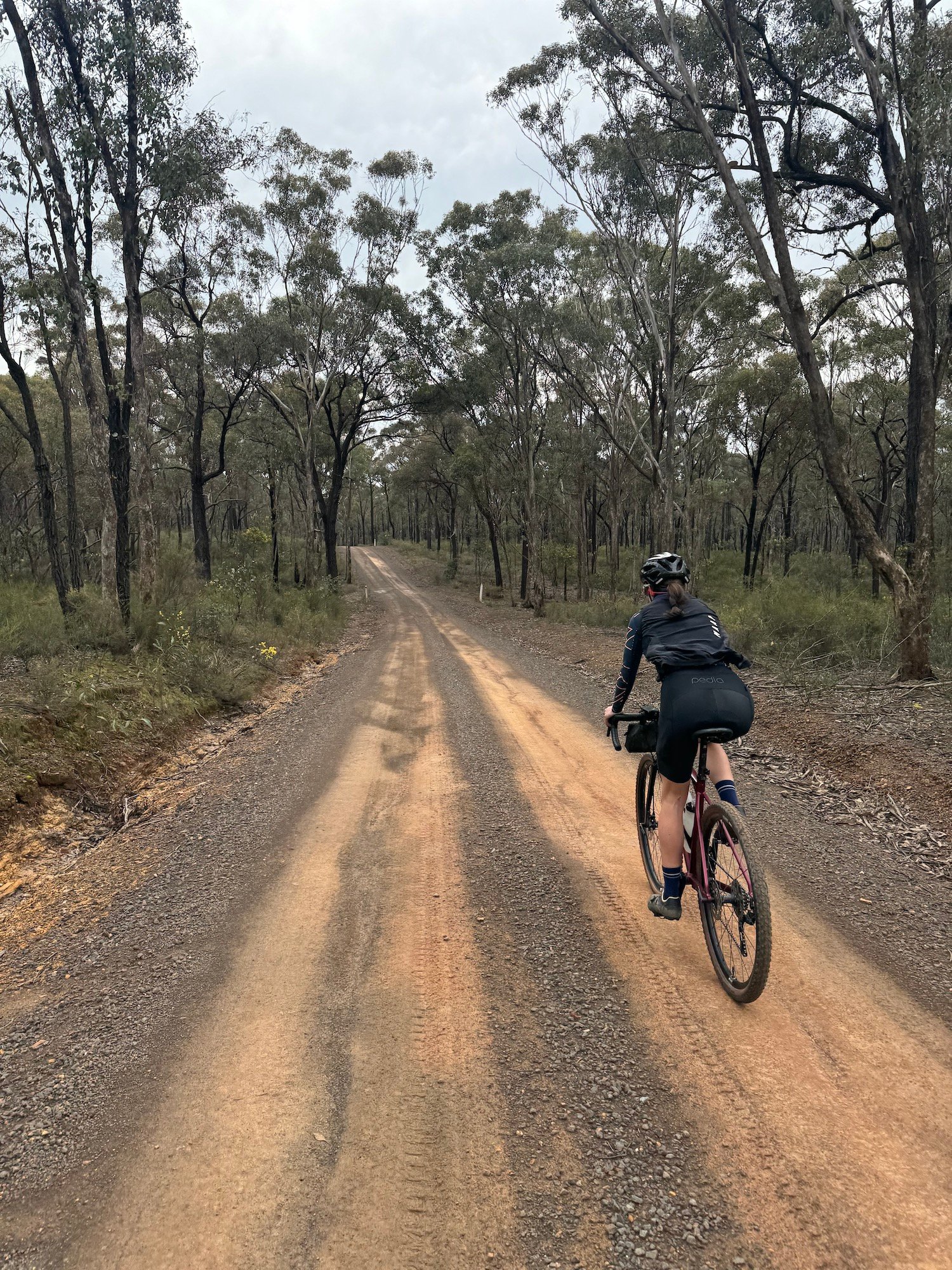
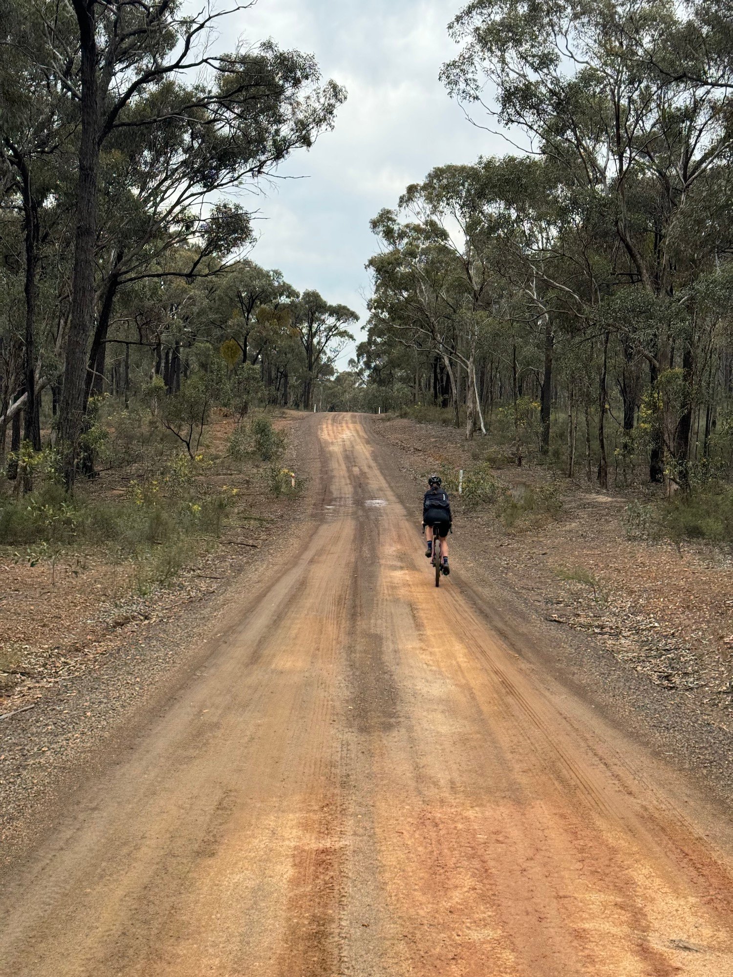
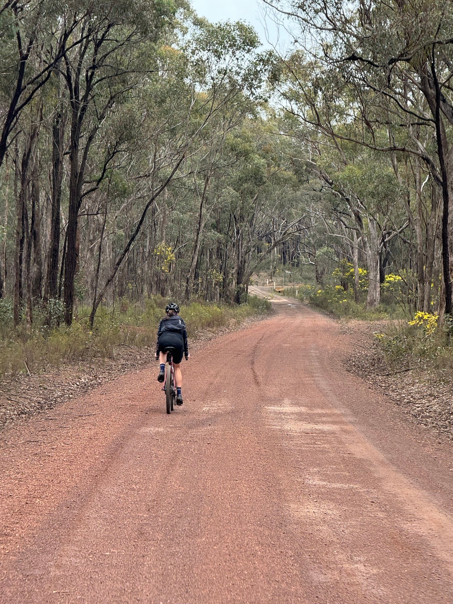
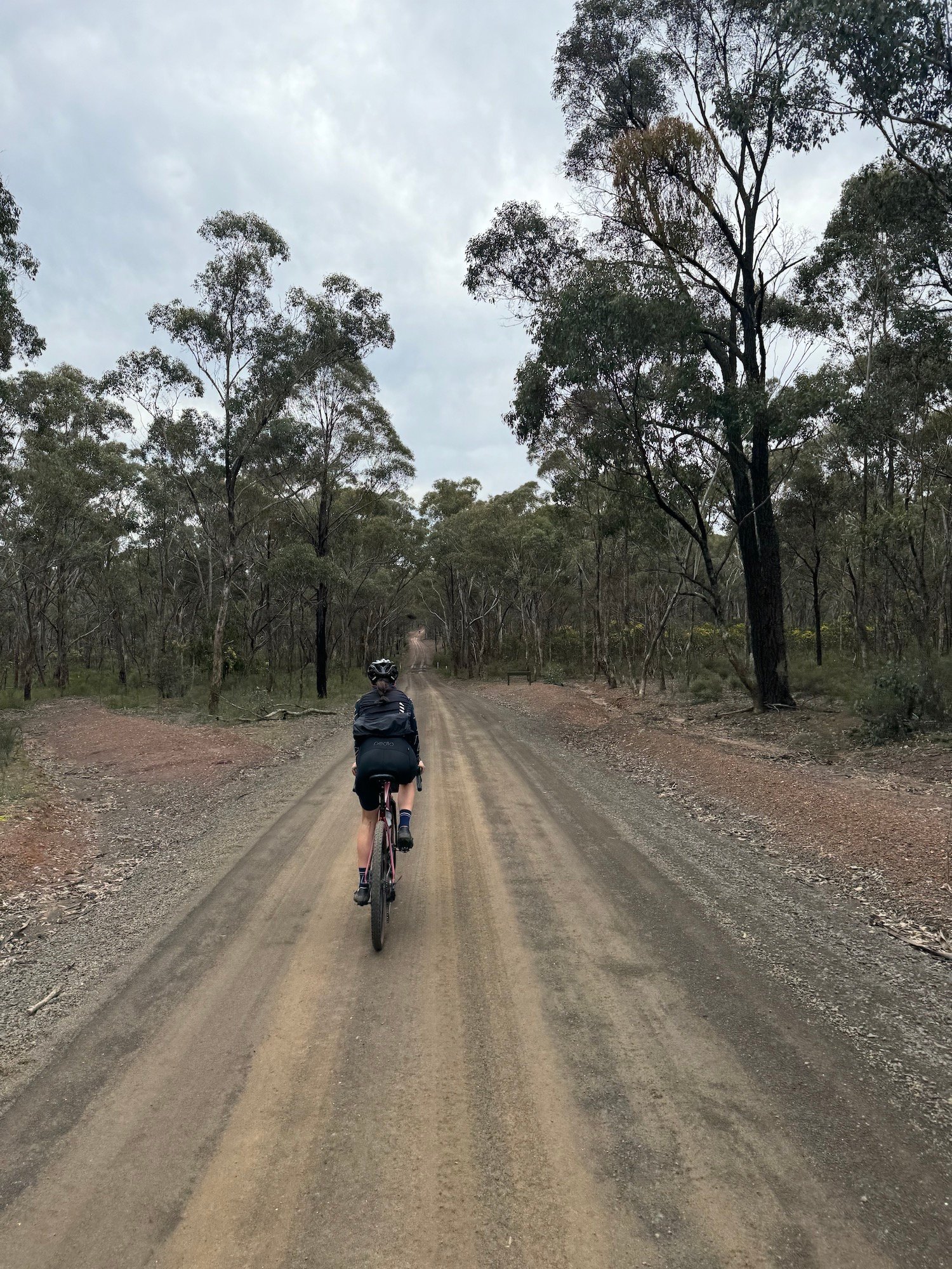
A 60.8 km gravel-road circuit from Heathcote through the rolling box-ironbark forests towards Graytown and Costerfield. Head out on Heathcote–North Costerfield Road, then follow Plantation Road, Paveys Road and Neilson Road into the forest. The return links South Costerfield–Graytown Road, Reef Track, Phillips Lane and Bradleys Lane before rolling back into Heathcote.
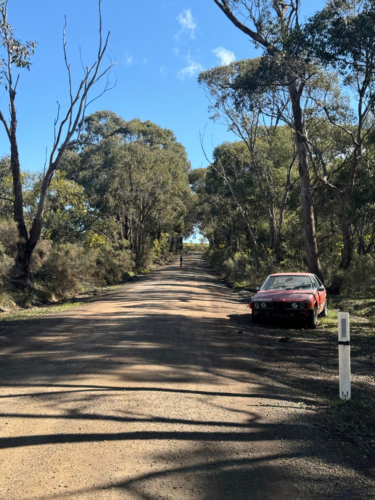
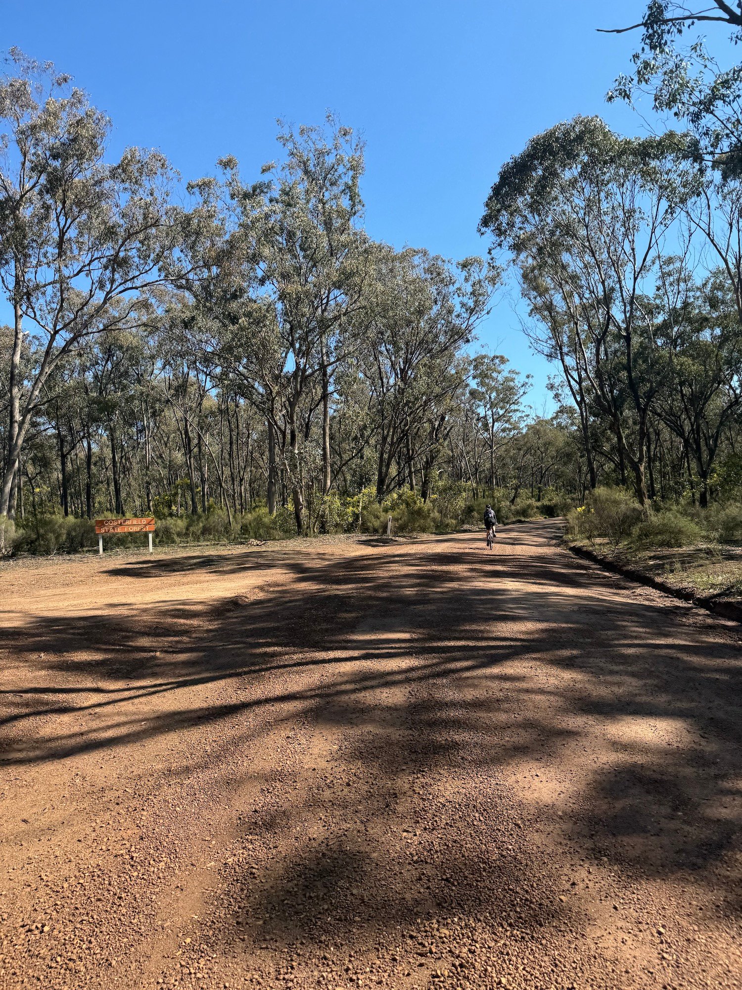
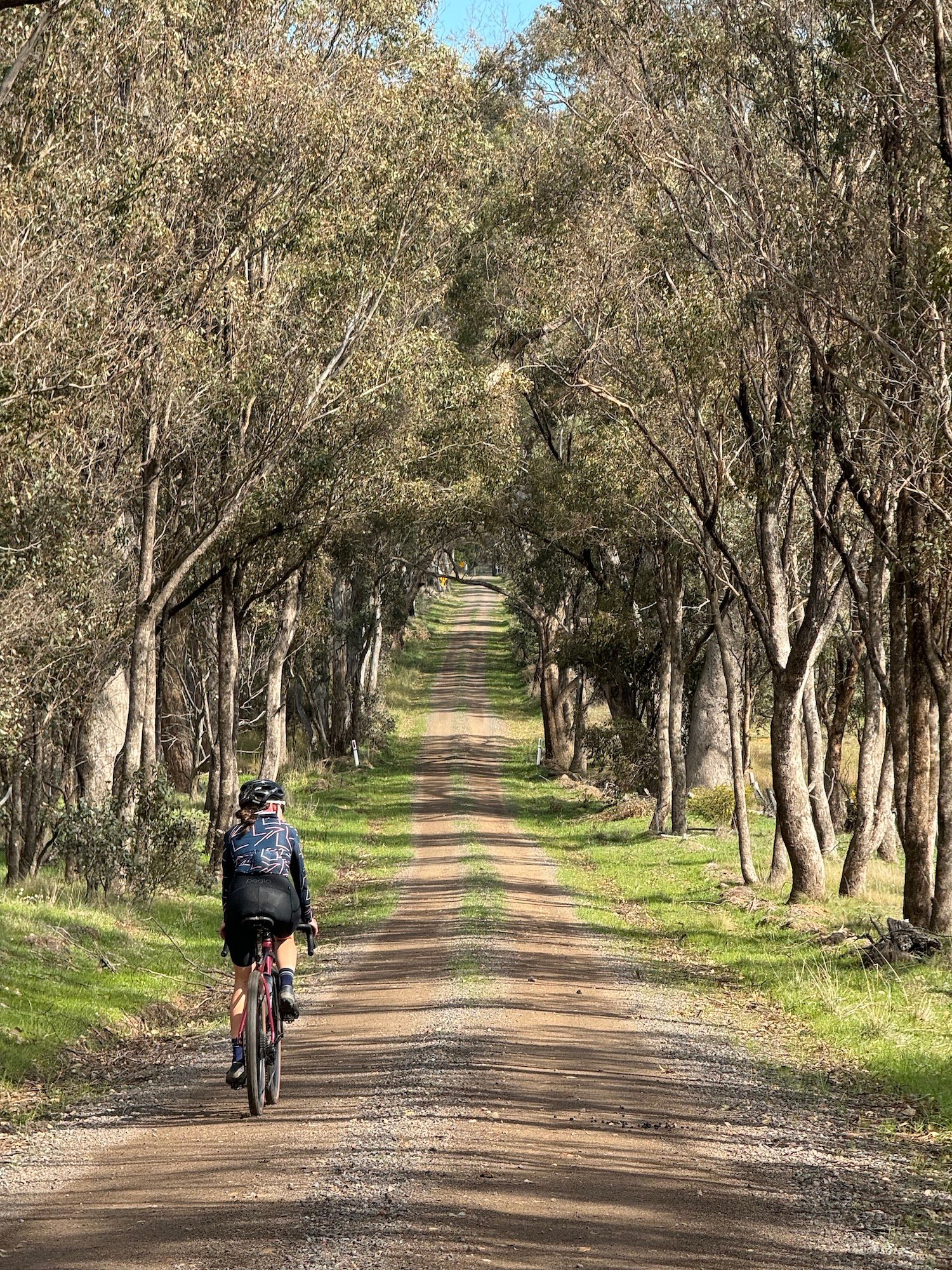
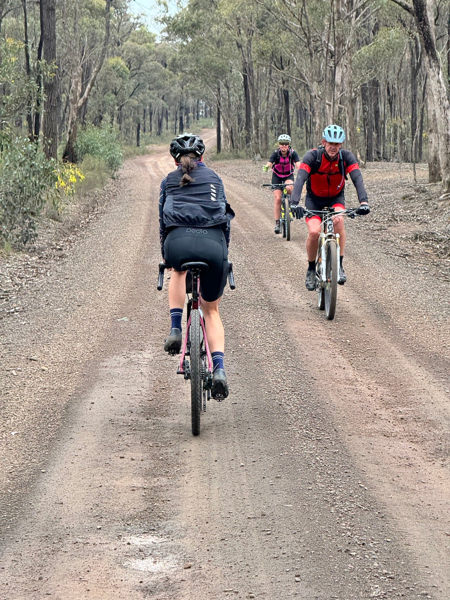
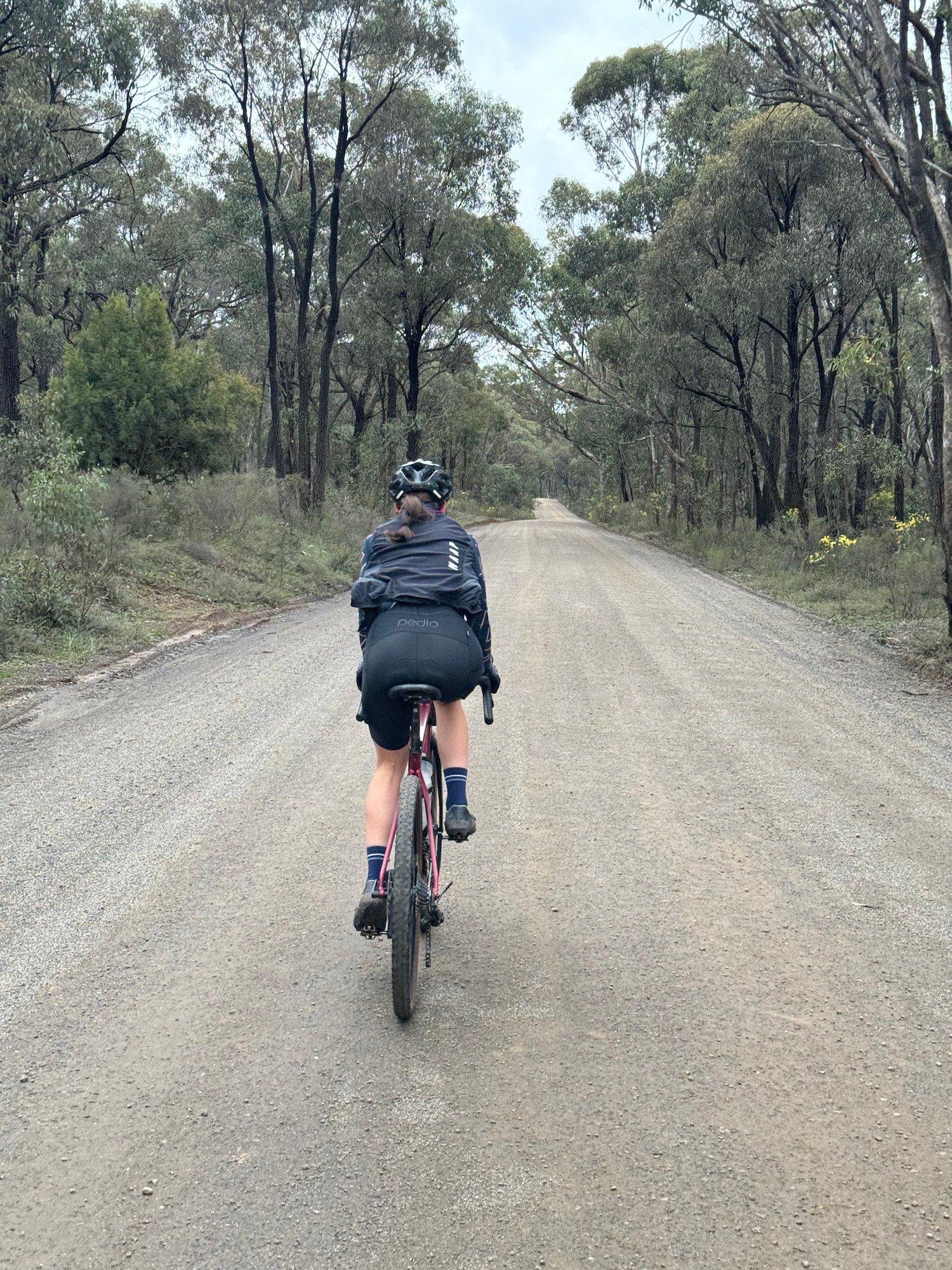
Around 70% is unpaved, with roughly 506 m of climbing spread over the circuit rather than one big mountain ascent. Expect gravel, compacted forest roads and short sealed connections. A gravel bike with 38 mm or wider tyres is a sensible starting point; loose stones, corrugations and wet patches can make the same road feel very different from day to day. This is a road ride, not a traffic-free rail trail, and the short highway connections need particular care.
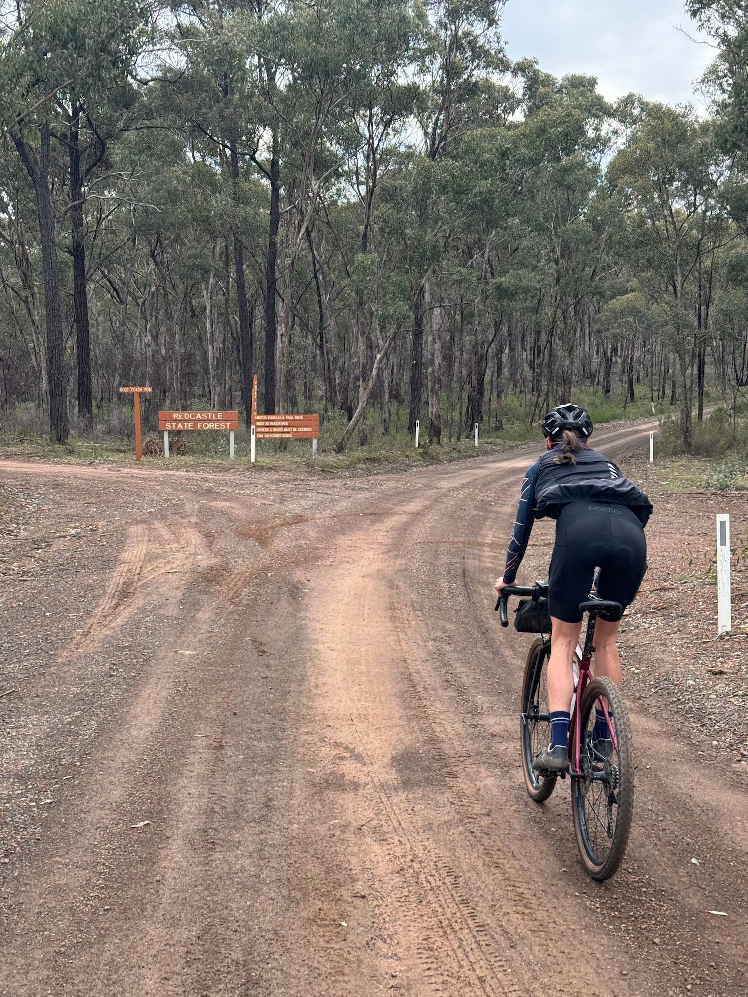
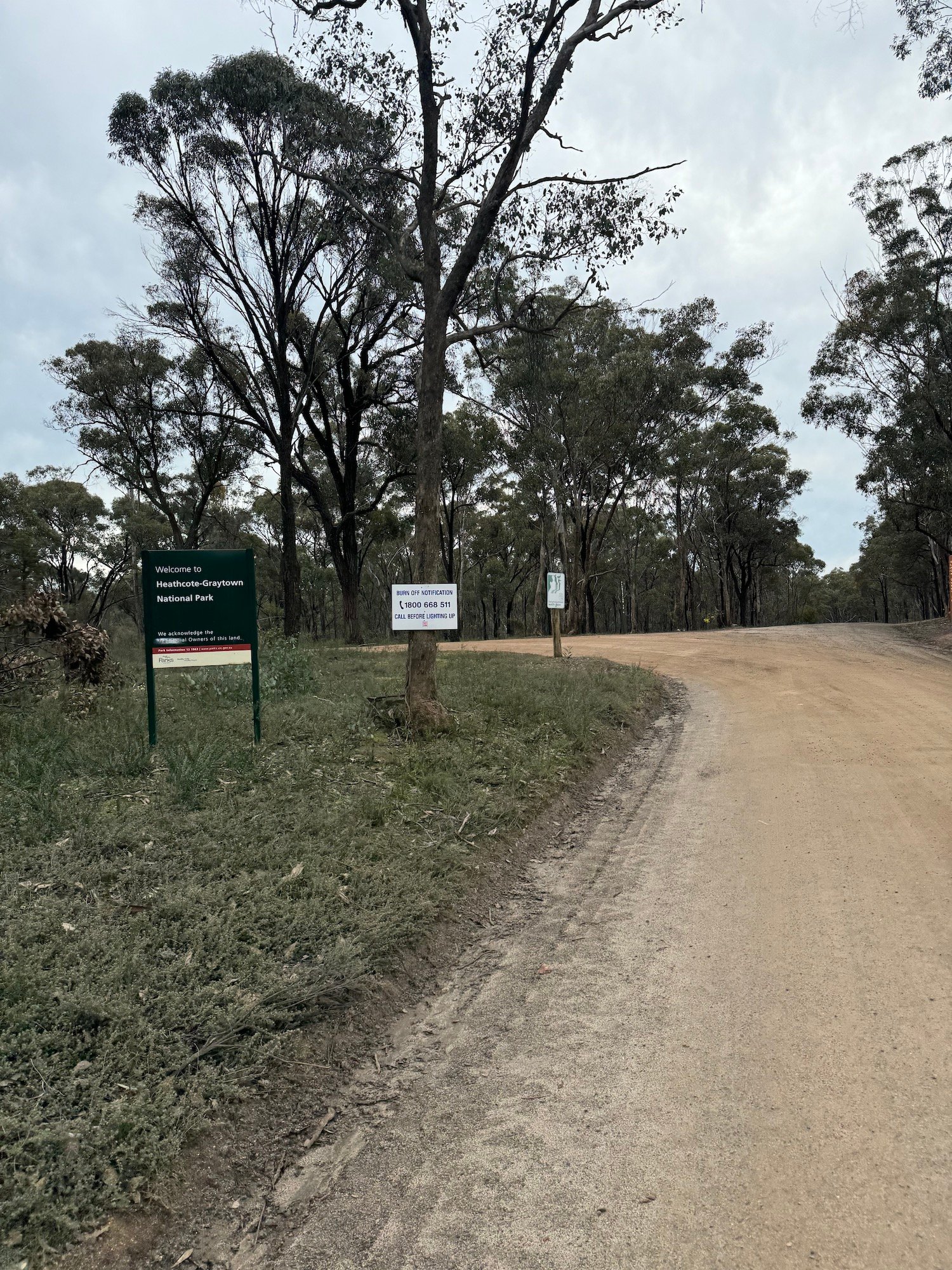
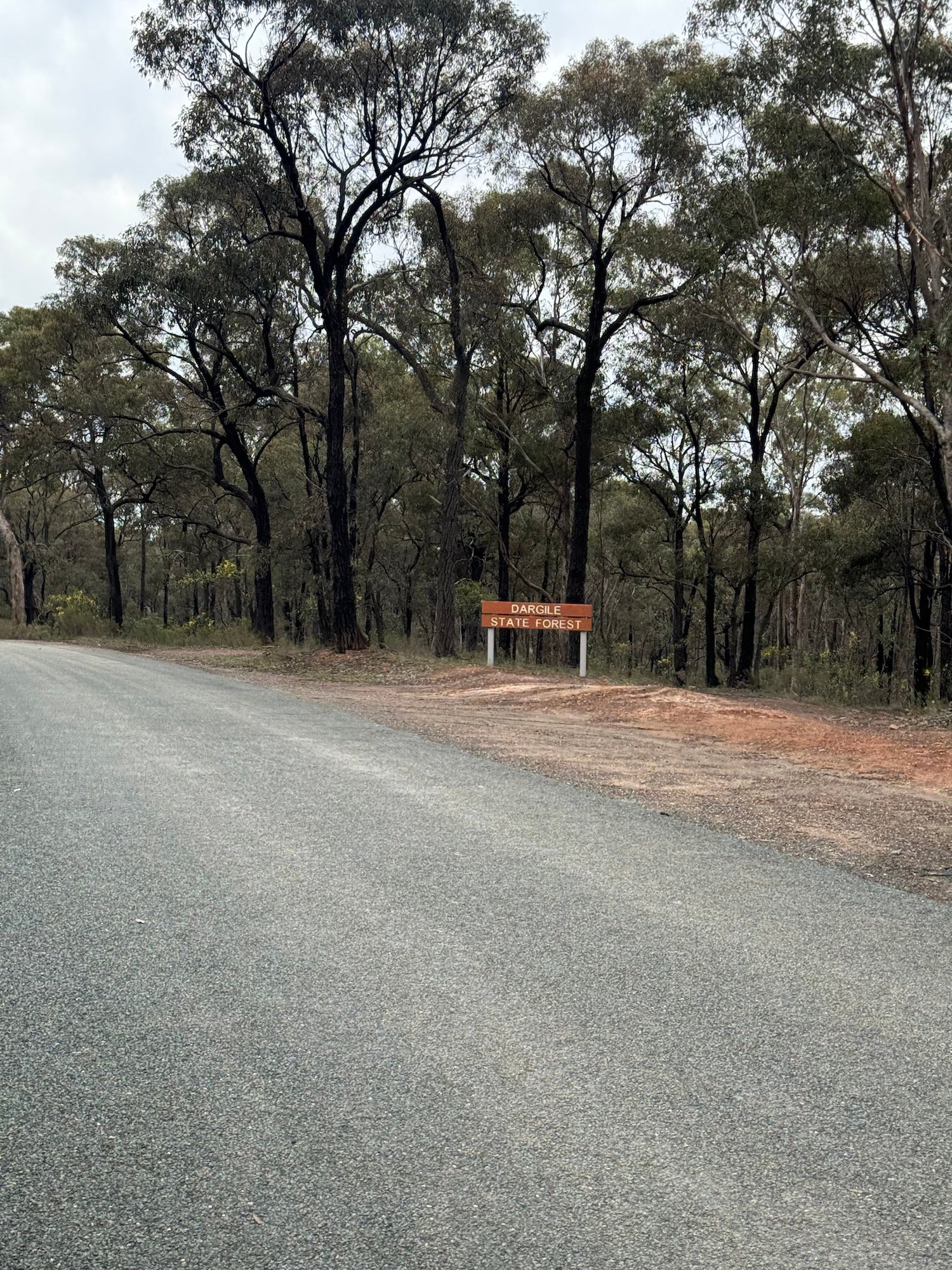
The forest entrance on Plantation Road is an early highlight. Dargile Picnic Area is an optional side trip for a shaded break and toilets; it is not on the main loop. Around halfway, a short detour northeast from the Graytown junction reaches the former prisoner-of-war camp, where low foundations remain among the trees. Walk around the fragile ruins and return to the junction to continue the ride.
Carry all the food and drinking water you need between Heathcote stops: do not rely on shops or potable water in the forest or at Graytown. Gaffney’s Bakery is a short extension south of the start/finish, while Palling Bros Brewery is near the final run through town; check their opening and kitchen times if planning a late finish. The visitor centre at High and Barrack Streets is useful for local maps and advice.
Start and finish near Herriot Street and High Street, Heathcote, checking parking signs before leaving your car. Allow extra time for the optional stops; they are not included in the 60.8 km distance. Check Parks Victoria alerts and VicEmergency before setting out, and follow closures and signs on the ground.
Route photos
Photos
Community photos load after the main route details so the page can appear faster.
Reviews
Reviews load after the main route details so the page can appear faster.
Get the full experience in the app
