Bikepacking
11 October 2026
The Otway Rip Lite Loop
Loading map...
The route details are ready. The interactive map is loading separately.
Points of Interest
Points of interest load after the main route details so the page can appear faster.
Route Description
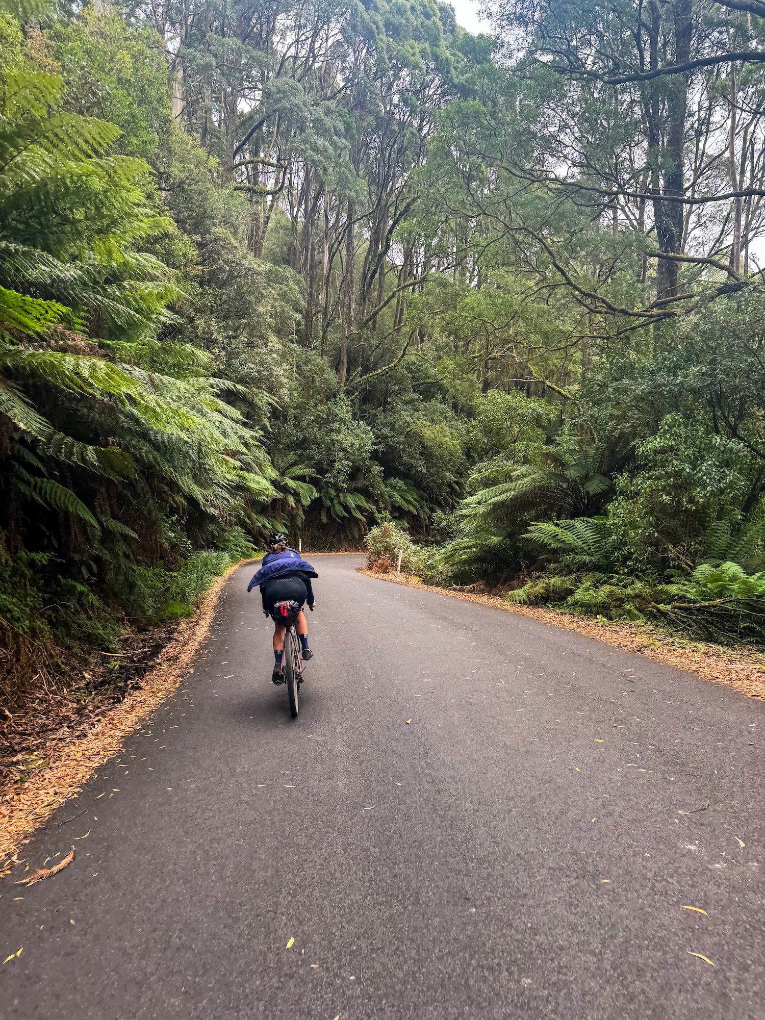
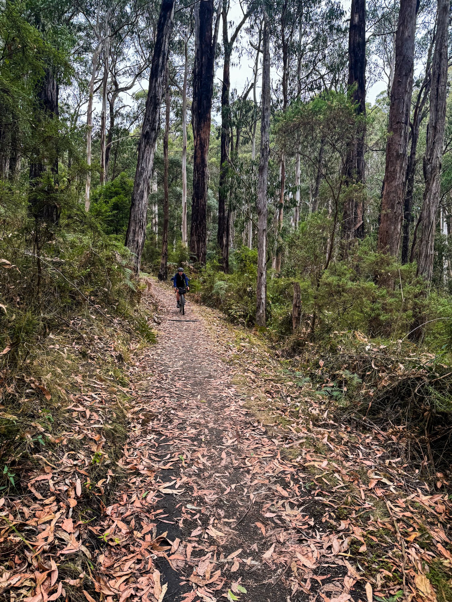
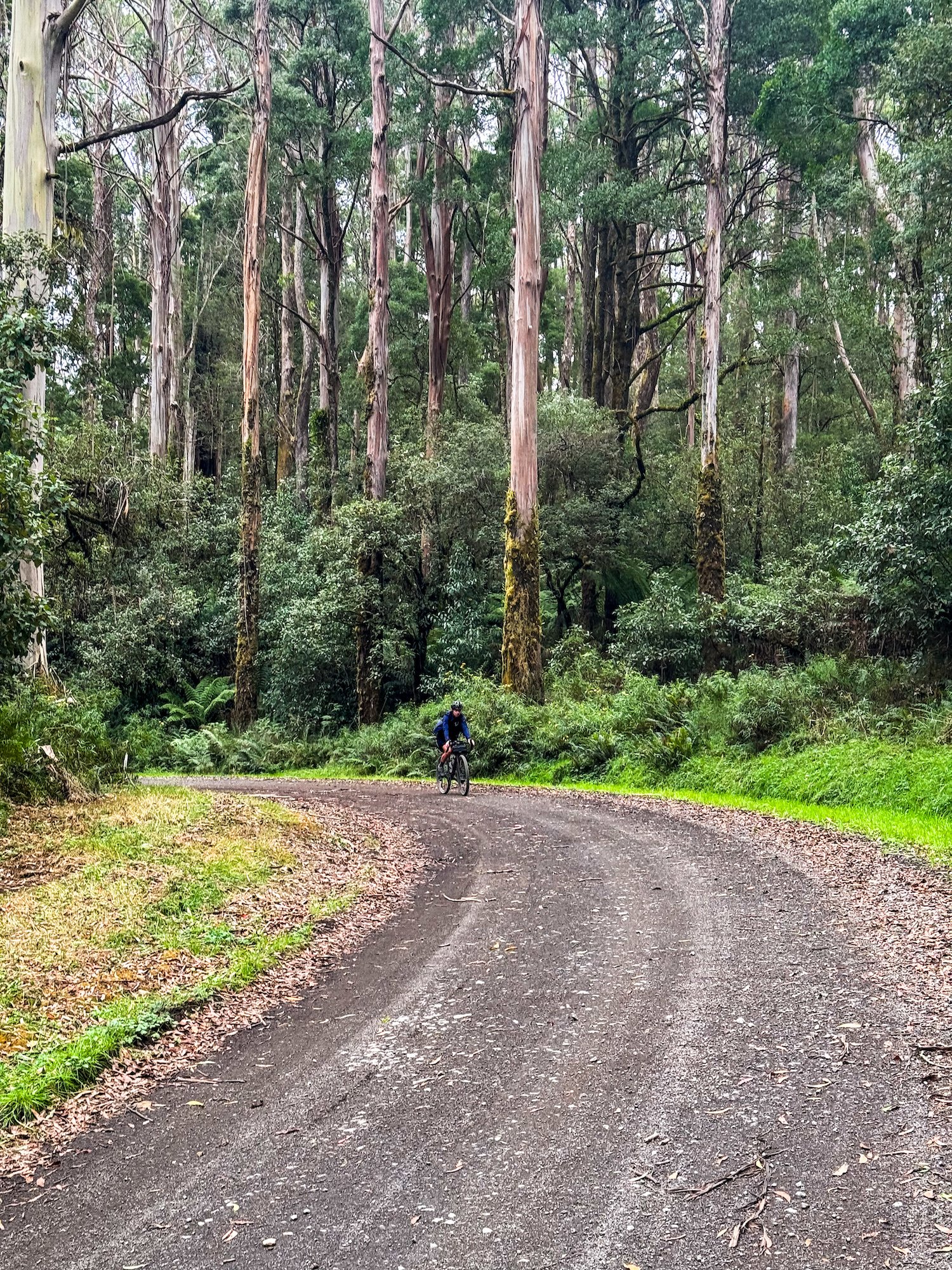
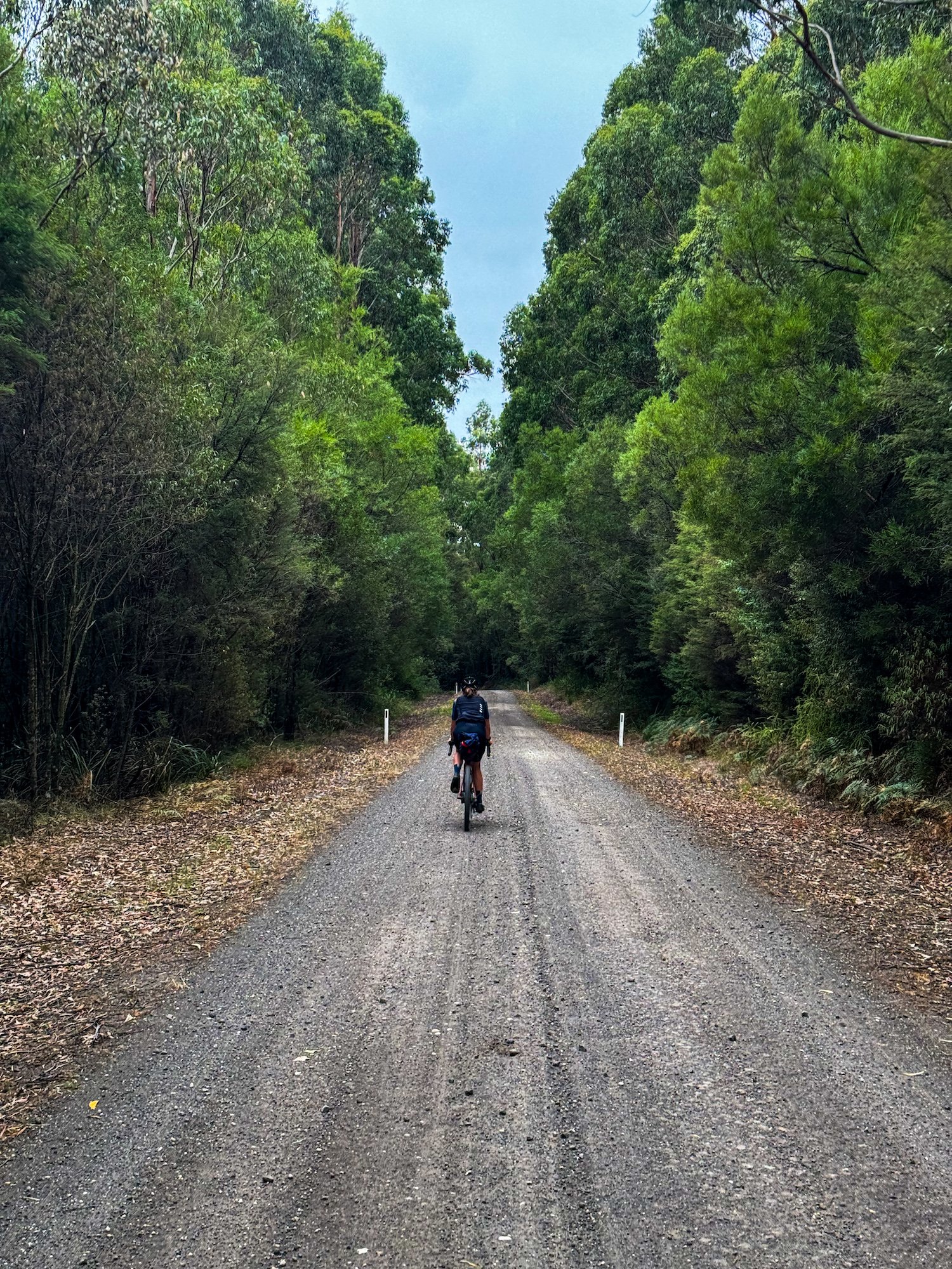
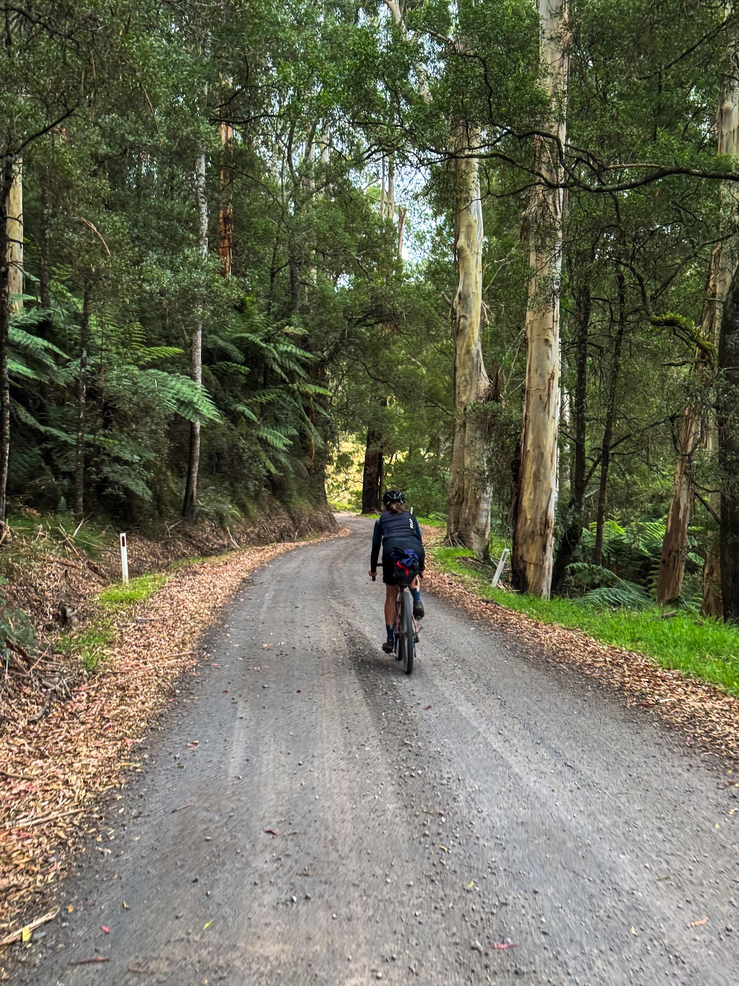
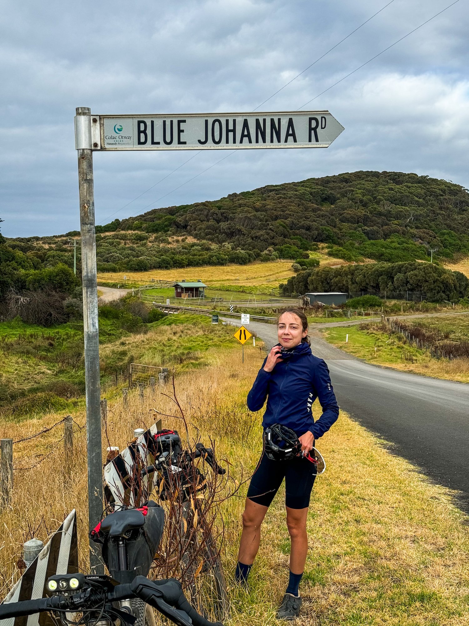
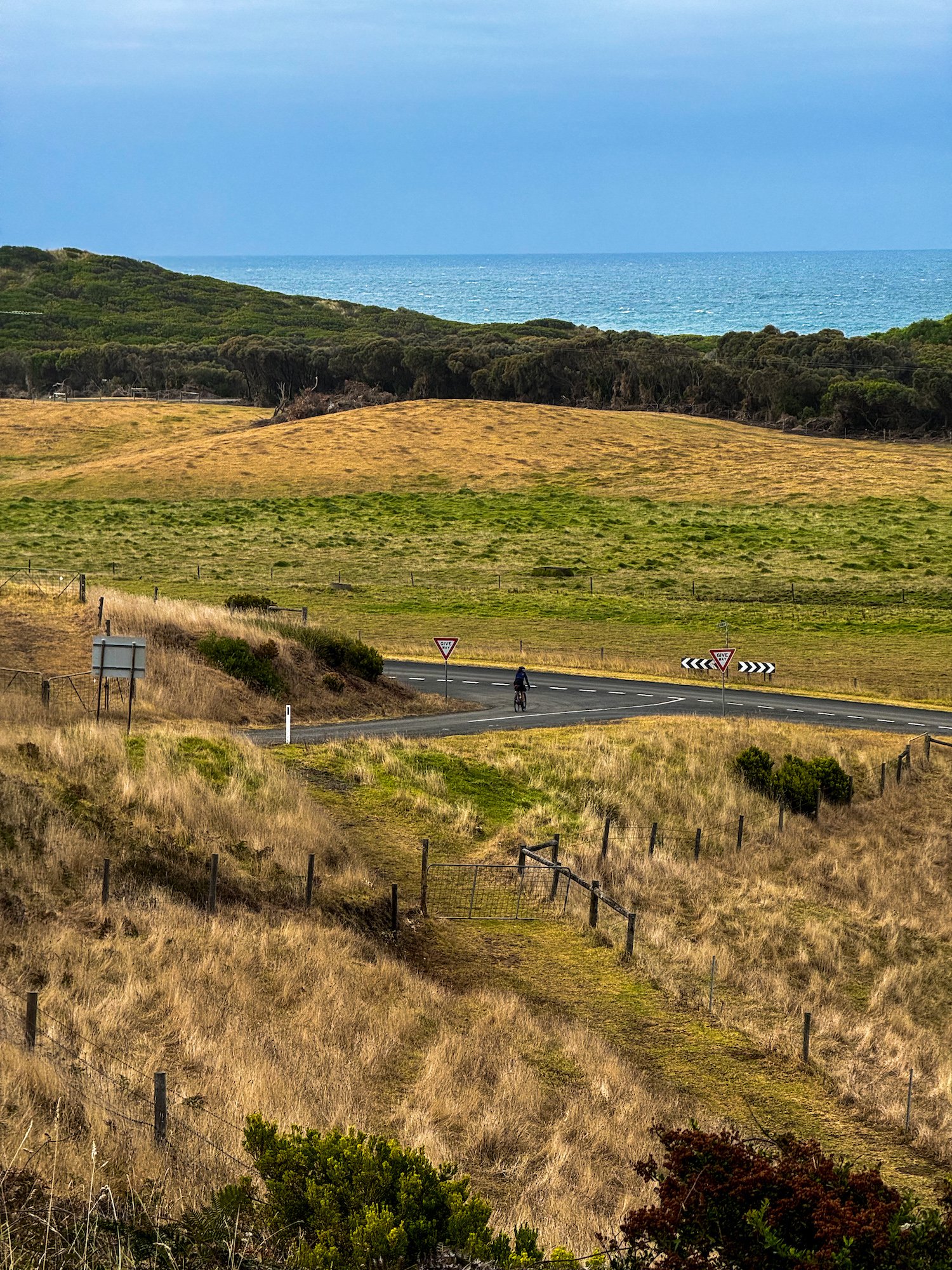
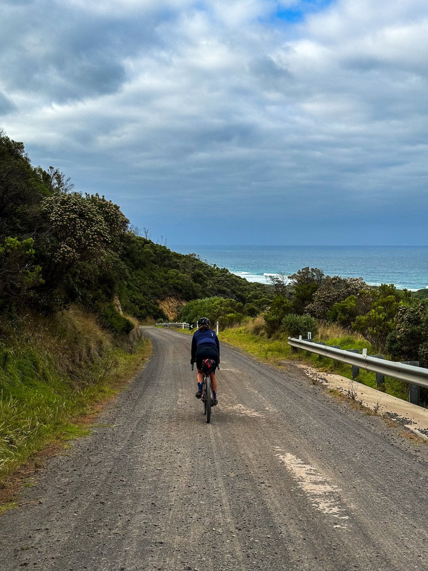
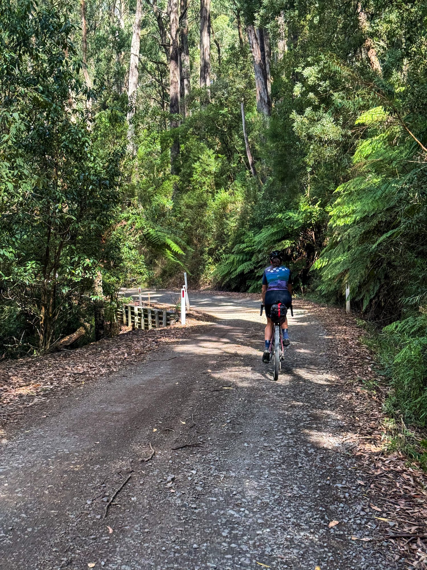
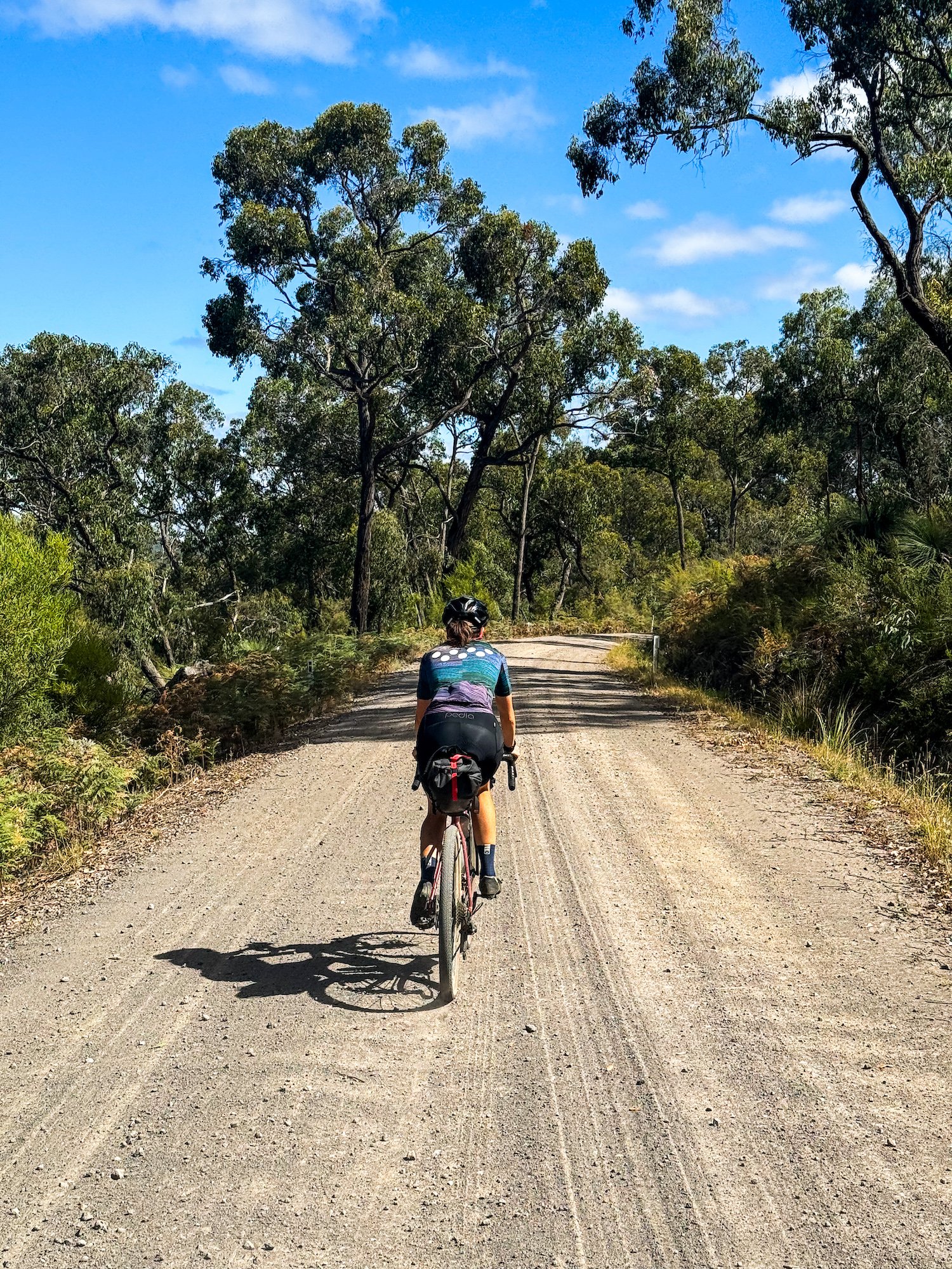
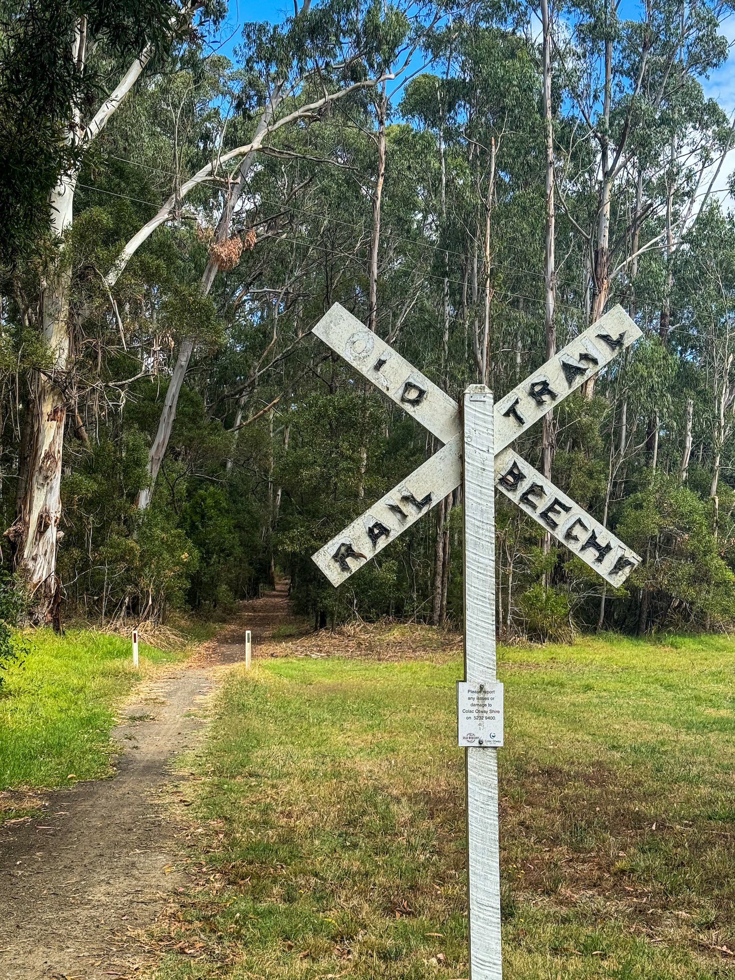
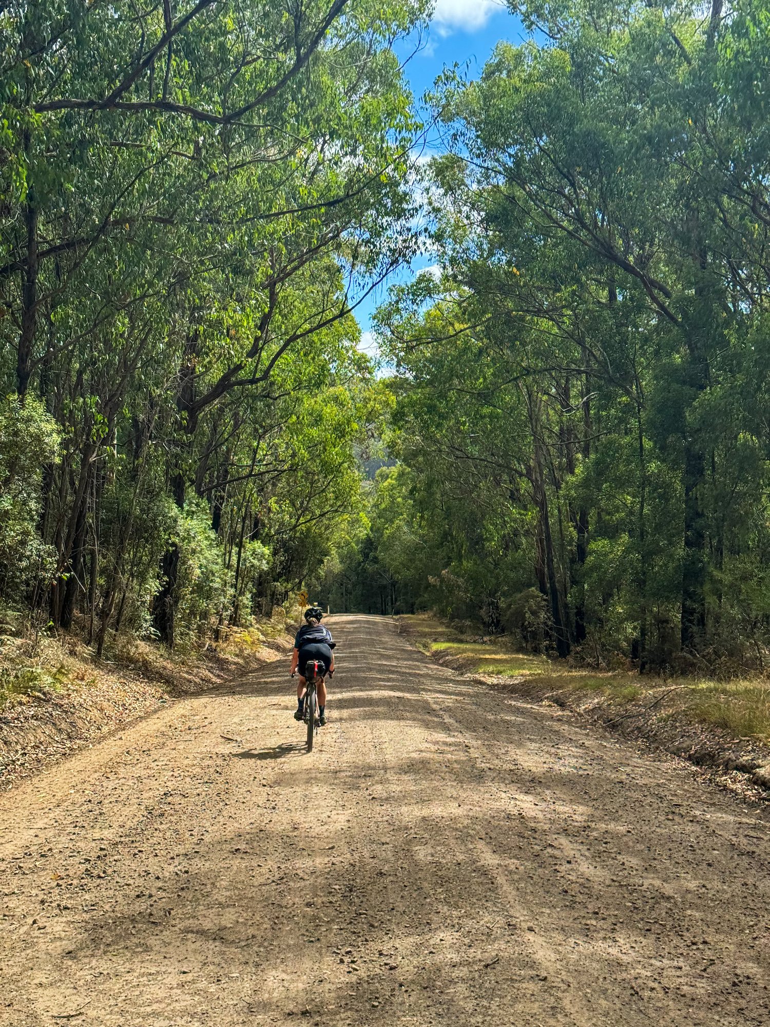
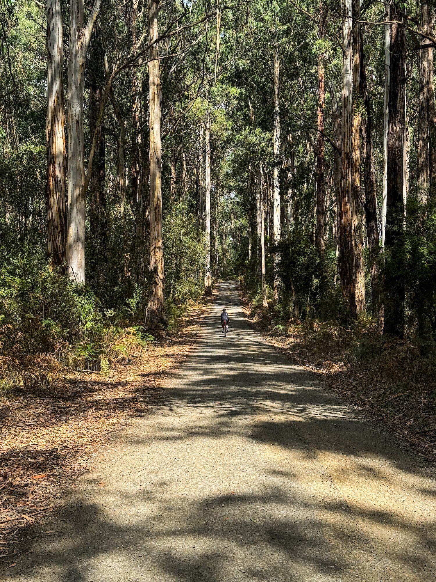
A big Otways bikepacking loop from Forrest, linking tall eucalypt forest, fern-lined roads, open ridges and a glimpse of the Southern Ocean at Johanna. The 168.3 km circuit heads west through Gellibrand and Carlisle River towards Lavers Hill, drops to the coast, then climbs back inland through Youngs Creek, Beech Forest and the Redwoods. Turtons Track and the forest roads east of Beech Forest lead towards a singletrack finish on Red Carpet into Forrest.
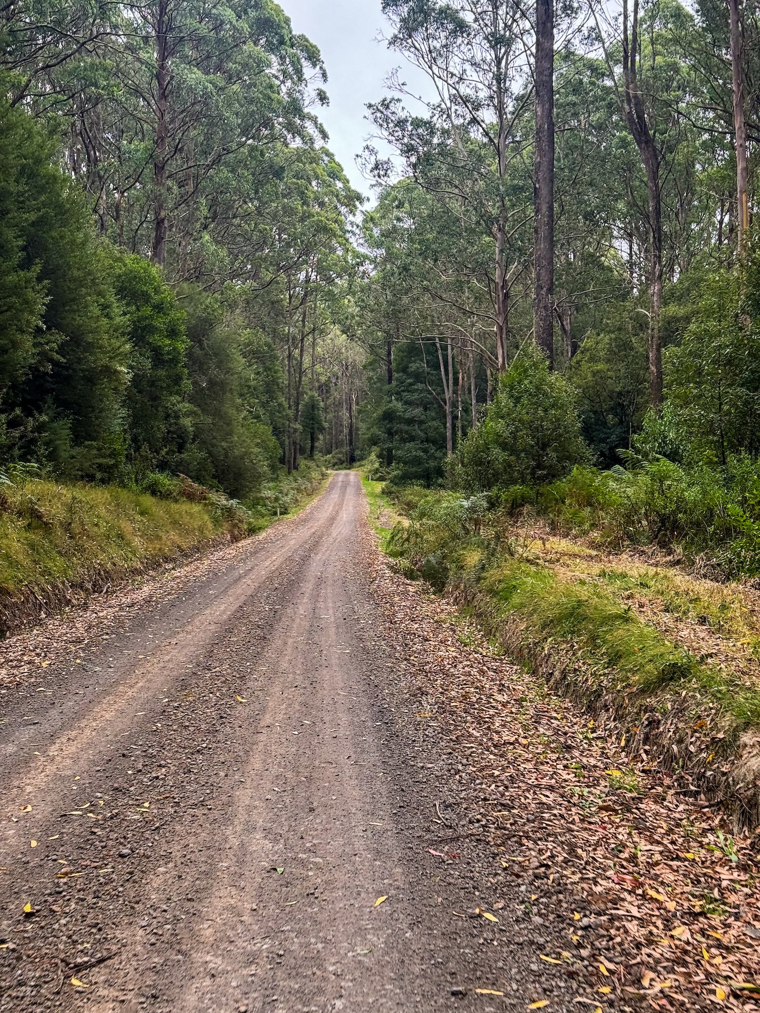
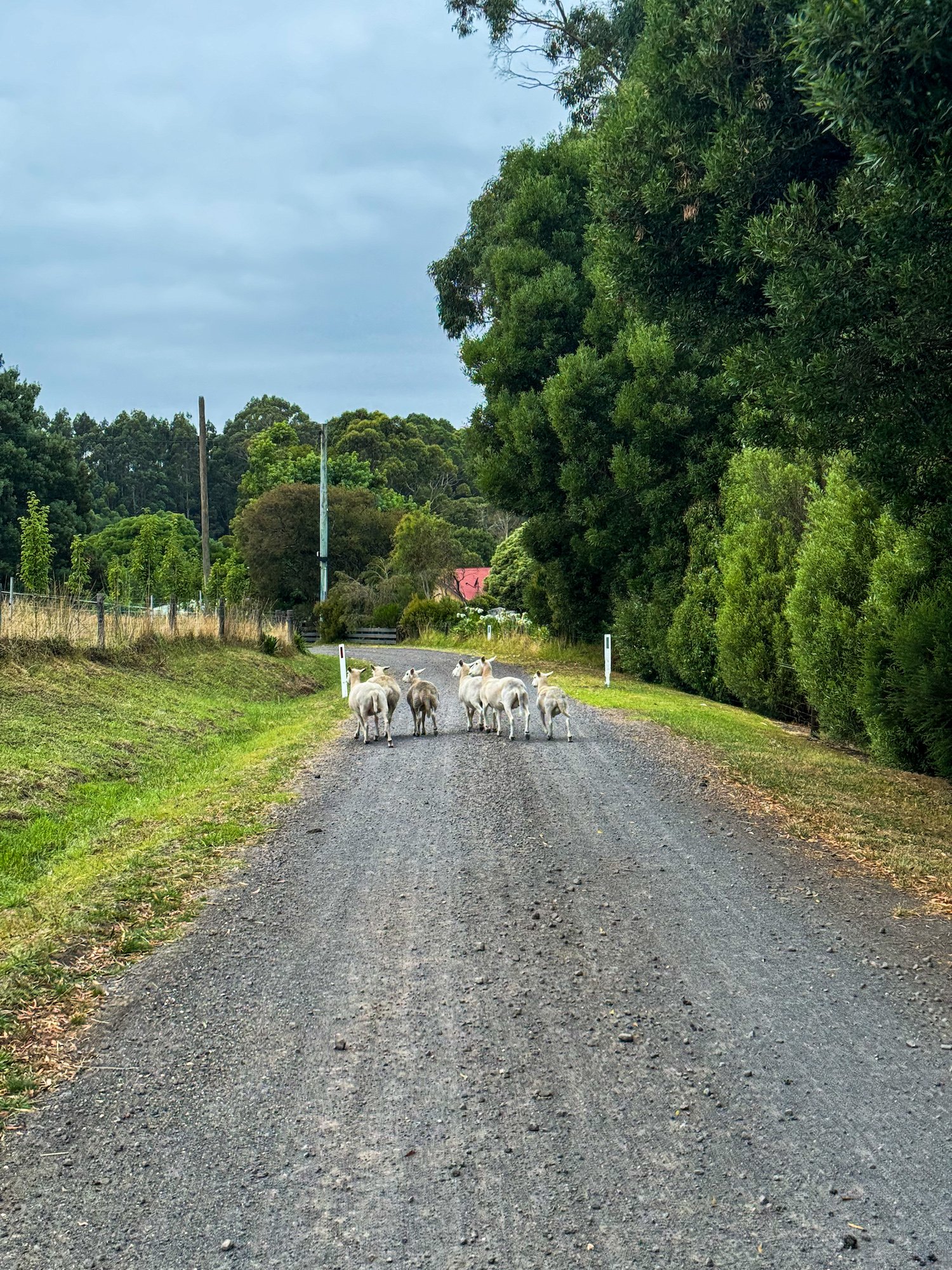
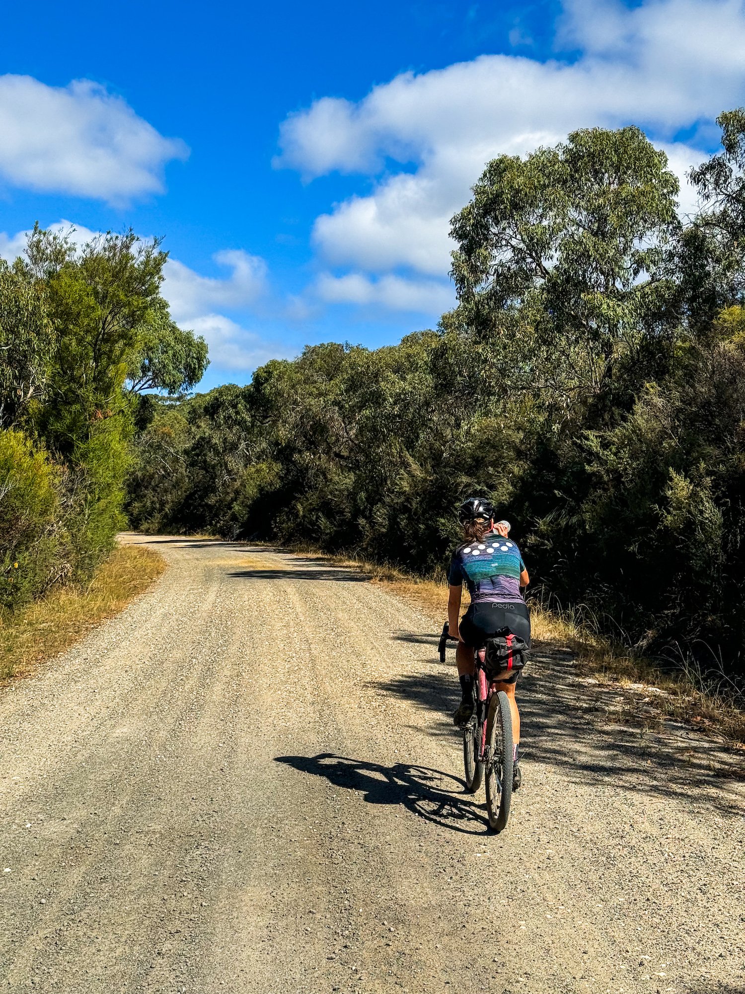
Allow two demanding days or a more relaxed three, with about 3,263 m of climbing. Around 58% is mapped unpaved and 40% paved; a small remainder has no confirmed surface classification. Expect loose gravel, corrugations, steep pinches and muddy or rutted tracks after rain. This is not an easy rail-trail overnighter: use low gearing and tyres suited to loaded gravel and singletrack. The source ride suggests at least 40 mm, but wider tyres or a mountain bike can be more comfortable. Red Carpet is officially graded intermediate; walk any section beyond your confidence.
Gellibrand at about 23 km, Lavers Hill at 66 km and Beech Forest at 108 km are the main food-stop opportunities. Check businesses before departure and carry enough food and drinking water to cope with closures. Johanna Beach Campground is an optional spur near 78 km, not part of the main track; book through the Great Ocean Road Coast and Parks Authority and check minimum-stay rules. Beauchamp Falls Campground is a separate inland detour, with free first-come camping. Lake Elizabeth offers another booked camping option near the end. Do not rely on drinking water at any of these camps.
Stop at the Redwoods beside Binns Road, leaving the bike outside the grove and exploring on foot. The fern-lined bends of Turtons Track are another highlight, but they are a narrow shared road rather than a traffic-free path. Start and finish in Forrest, check parking signs, and allow extra distance and time for campsite spurs and walks. Forestry traffic, limited phone reception, storm damage and fire conditions are practical concerns: download the route and check current park, forest and road alerts before setting out. Also published on Bike Routes as The Otway Rip Overnighter Loop.
Route photos
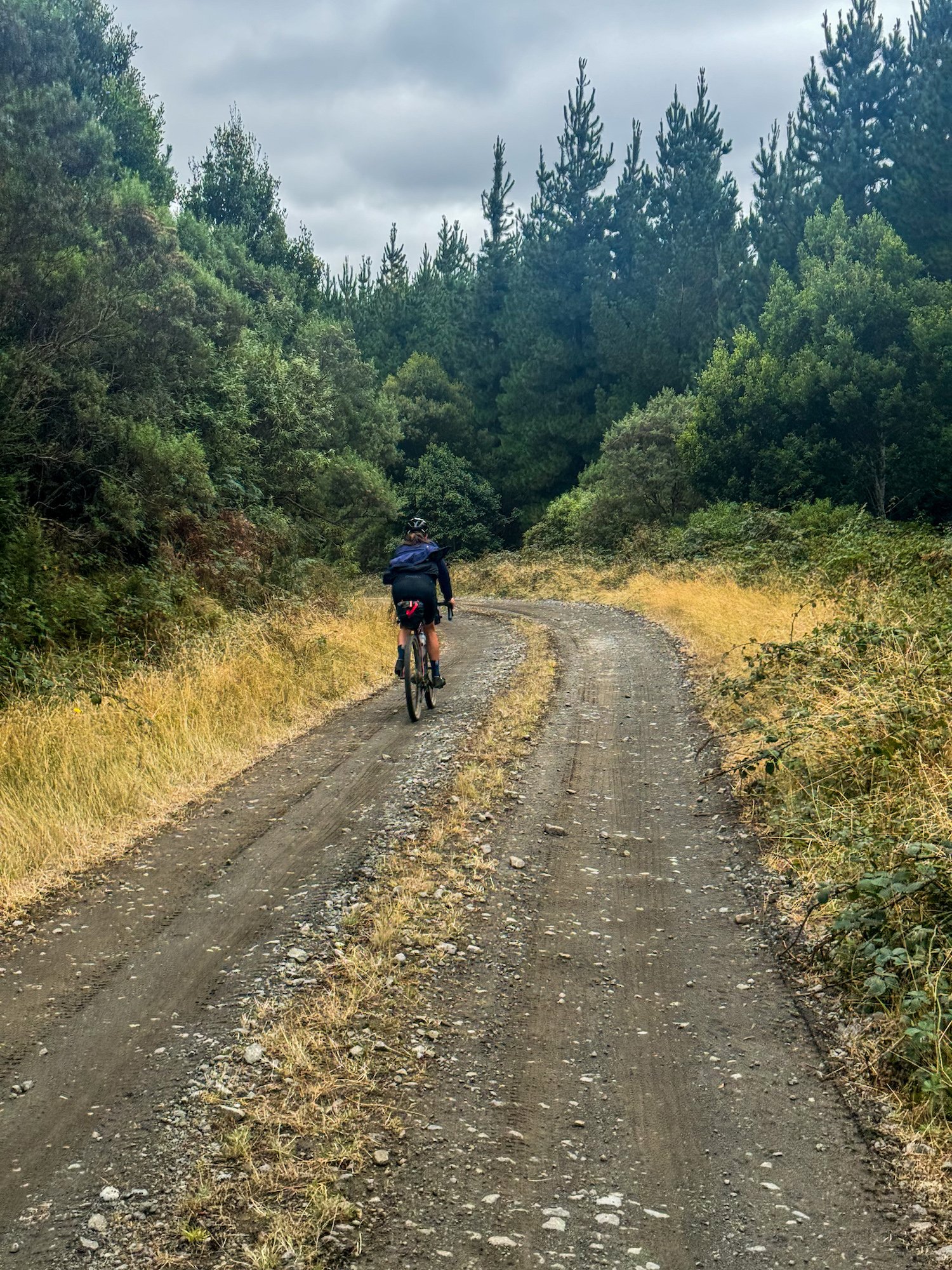
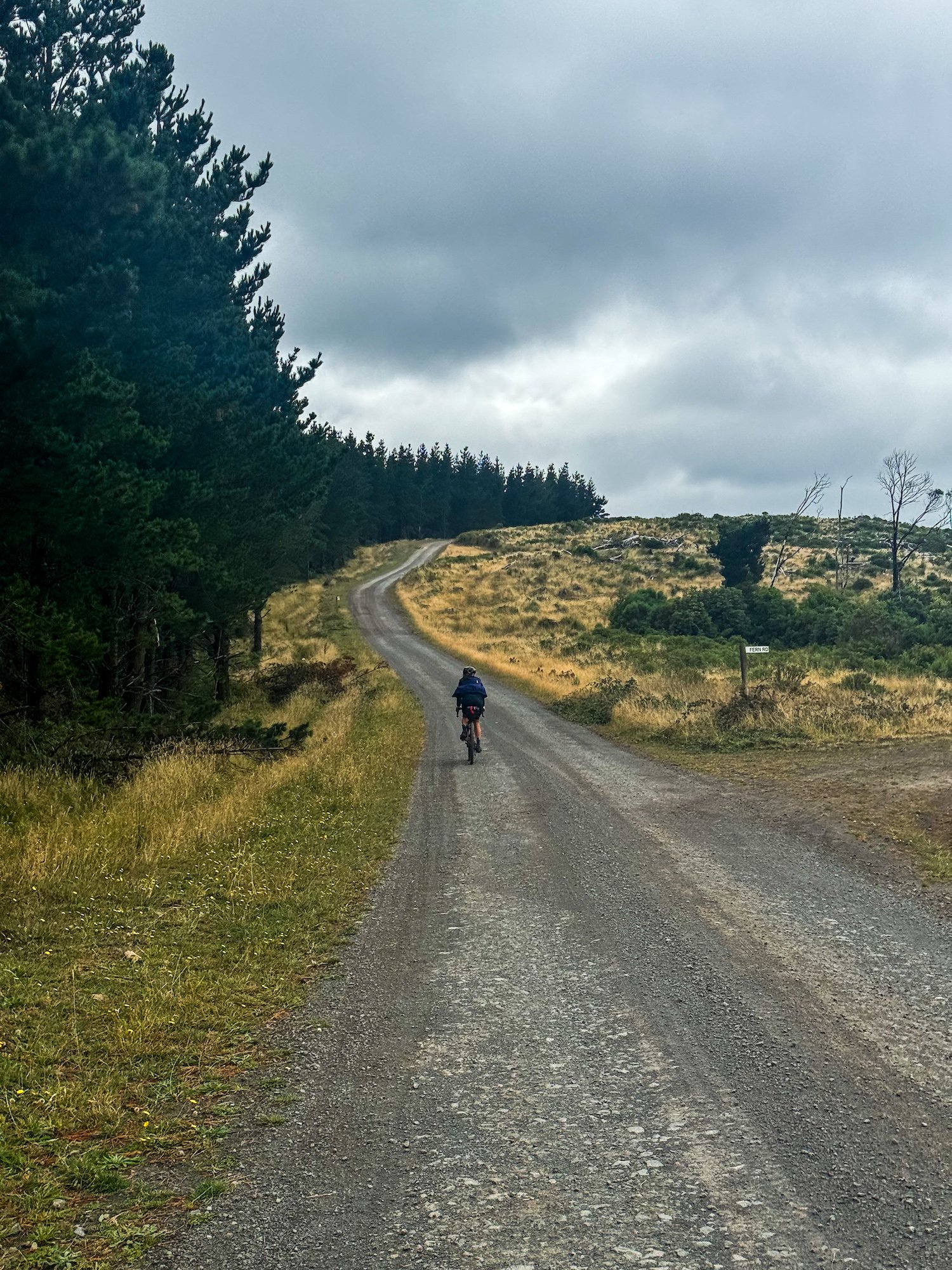
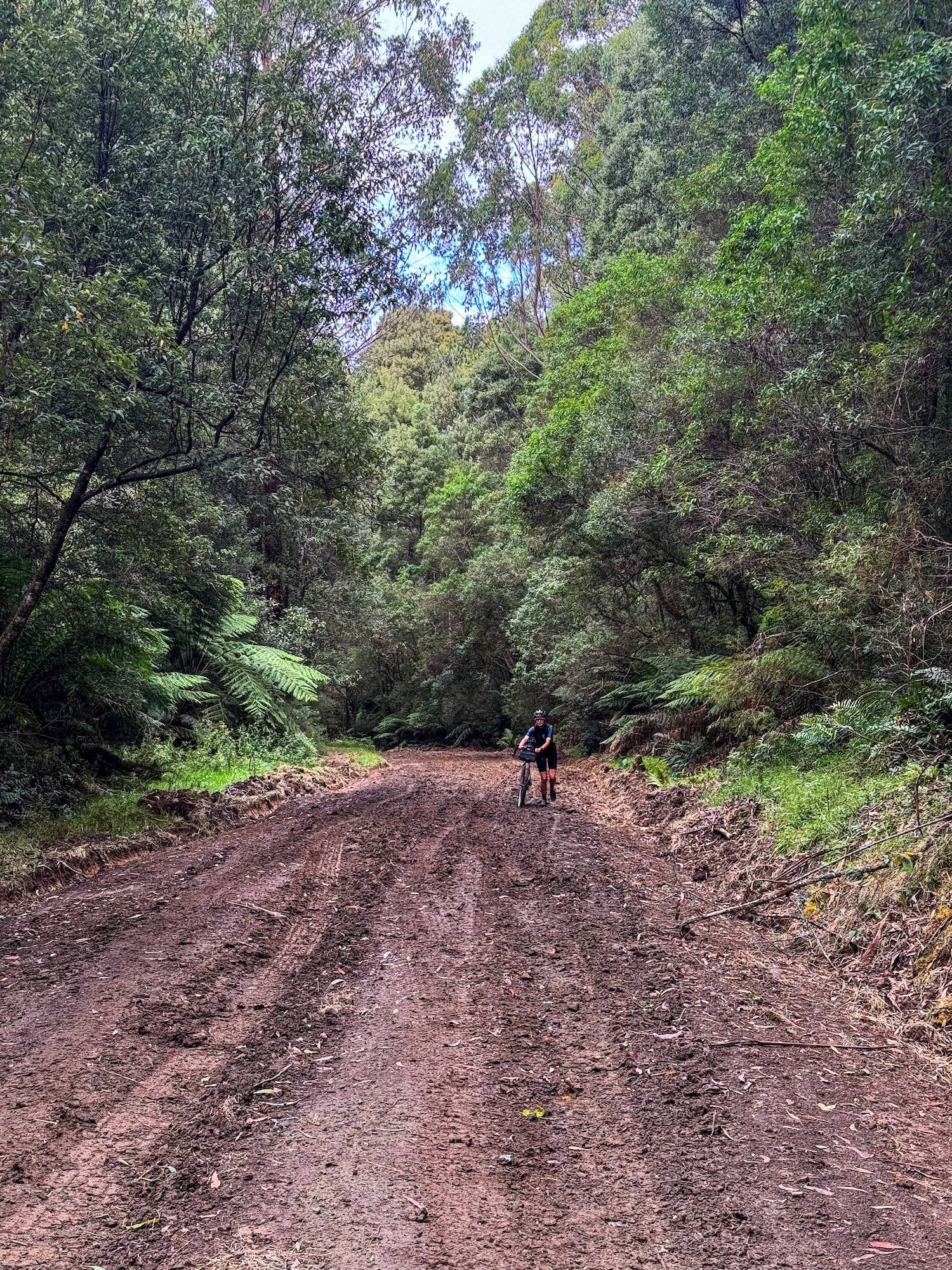
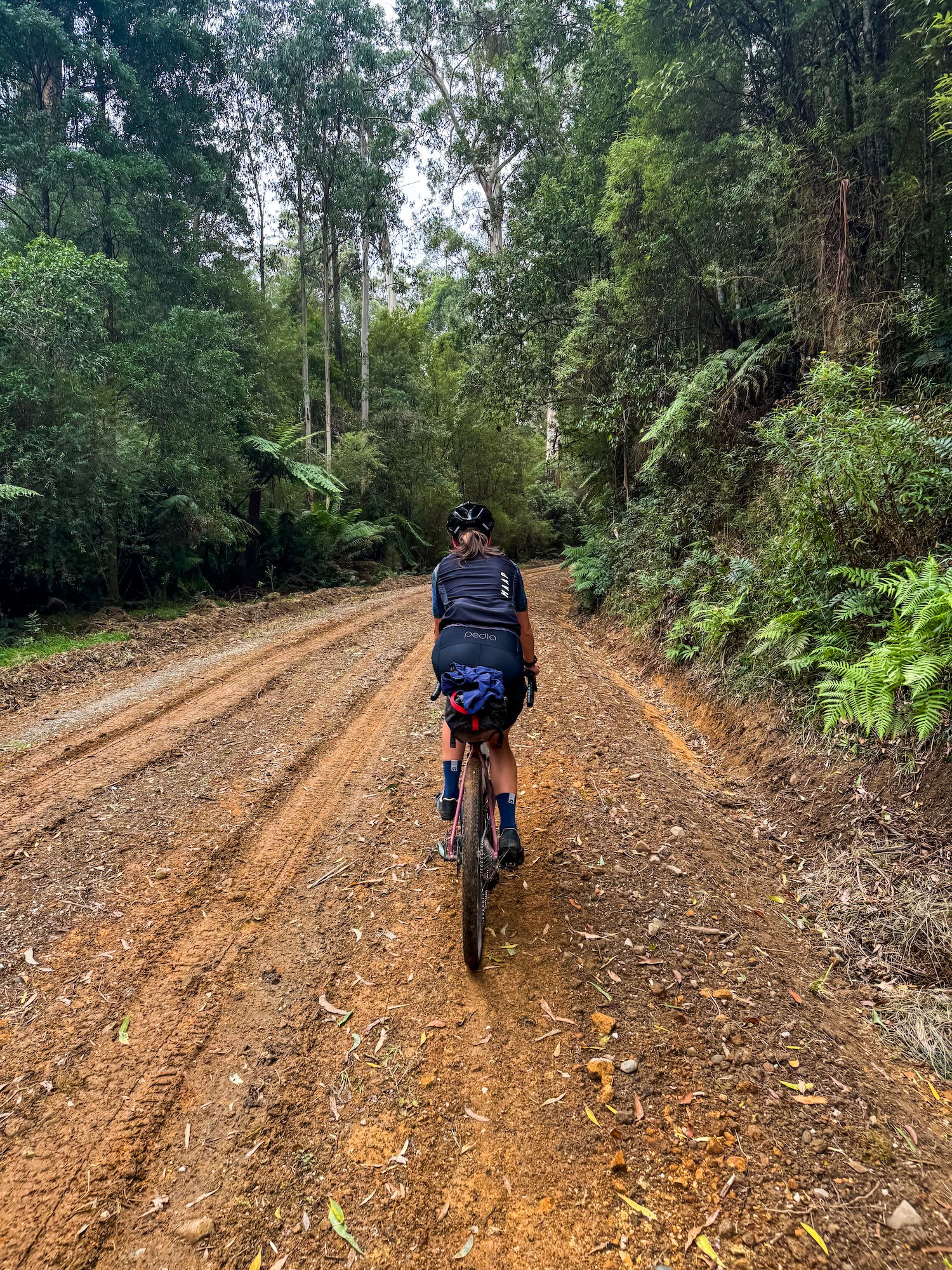
Photos
Community photos load after the main route details so the page can appear faster.
Reviews
Reviews load after the main route details so the page can appear faster.
Get the full experience in the app
