Bikepacking
12 October 2026
The Otway Rip
Loading map...
The route details are ready. The interactive map is loading separately.
Points of Interest
Points of interest load after the main route details so the page can appear faster.
Route Description
A 257 km point-to-point bikepacking adventure from Camperdown station to Birregurra station, linking volcanic farmland, the Camperdown–Timboon Rail Trail, the Shipwreck Coast and the deep forests of the Otways. This is the full Otway Rip, separate from the shorter Forrest-based Lite Loop. Allow at least three substantial riding days to enjoy the stops; completing it in two is a demanding undertaking.
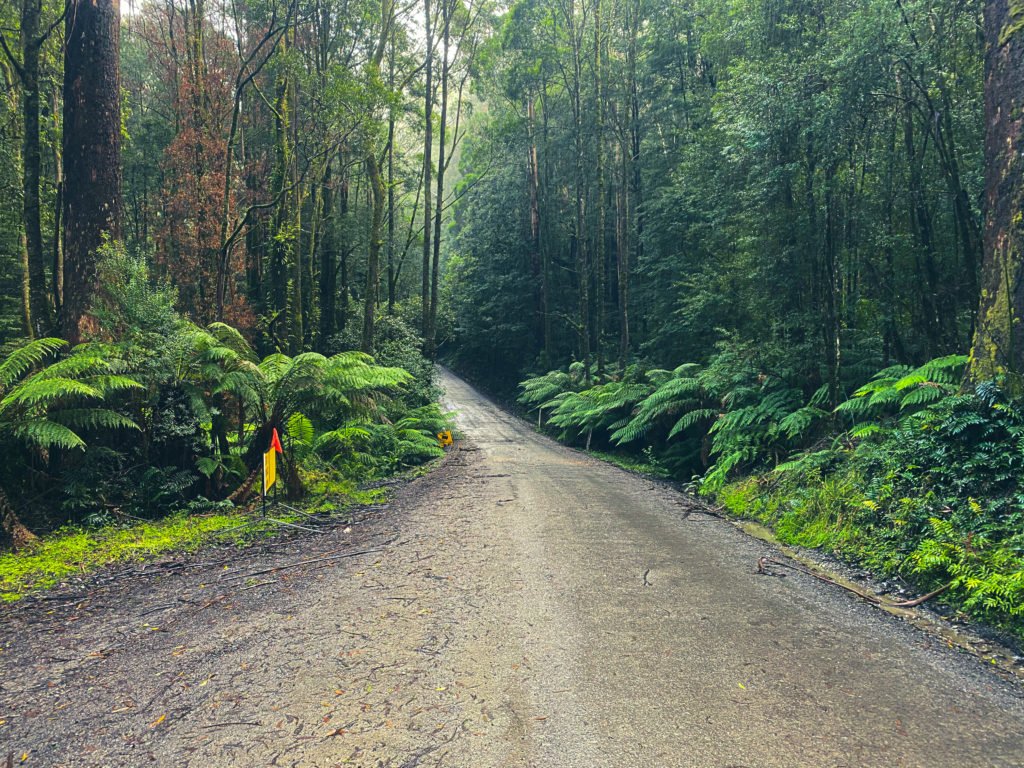
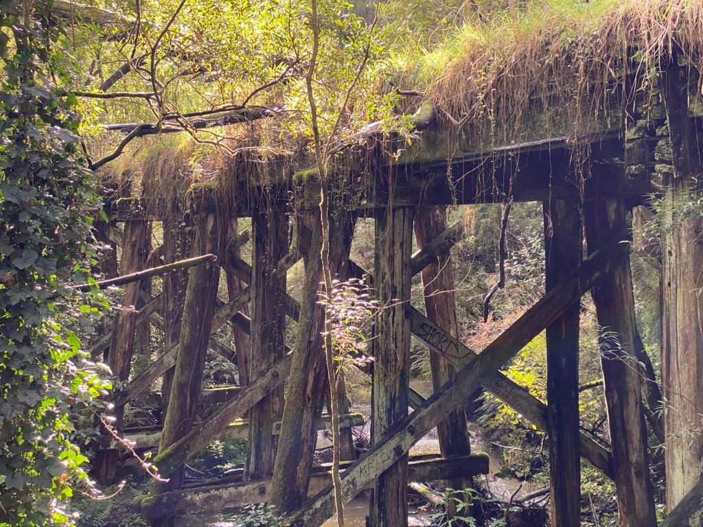
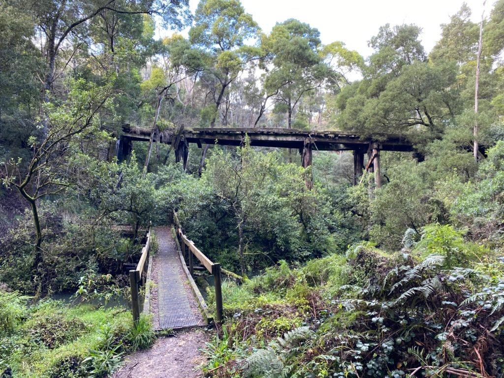
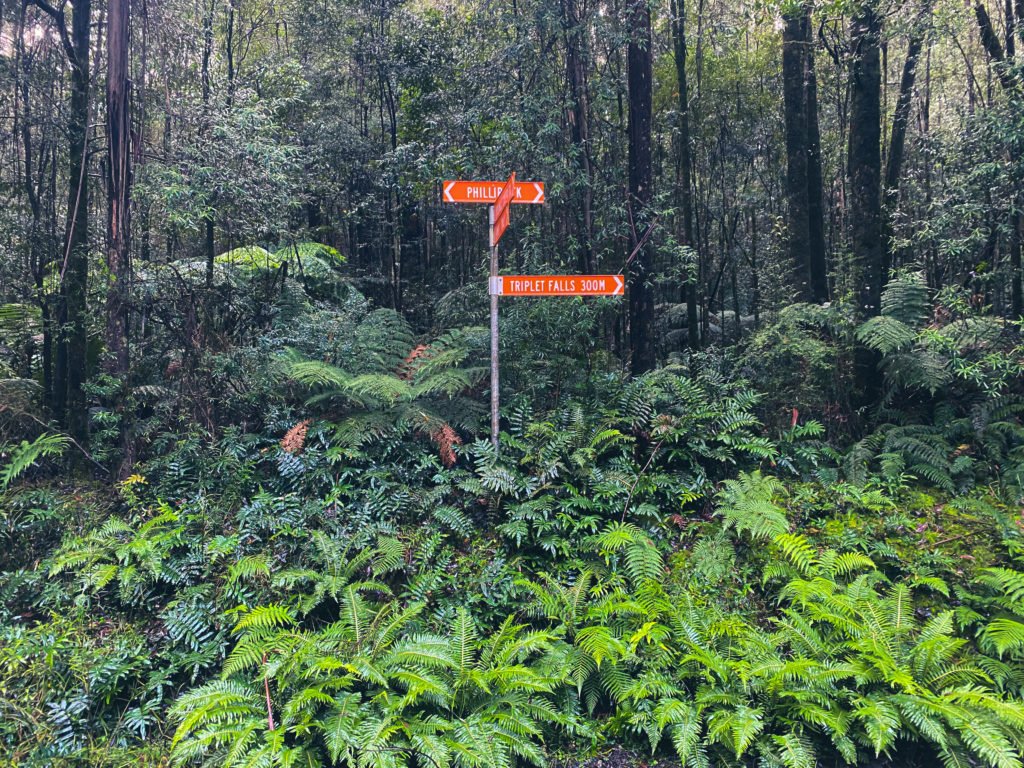
The opening roads climb through crater-lake country before joining the rail trail towards Cobden and Timboon. Cross the historic Curdies River trestle bridge, resupply in Timboon, then continue to Port Campbell and the Great Ocean Road. The Twelve Apostles are a short walk away, with optional stops at Loch Ard Gorge and Gibson Steps. After Princetown, the route climbs inland to Lavers Hill, drops towards Johanna and tackles rougher forest roads around Youngs Creek and Beech Forest. The Redwoods and fern-lined Turtons Track are highlights before the later forest section, Red Carpet singletrack into Forrest and the final run north to Birregurra.
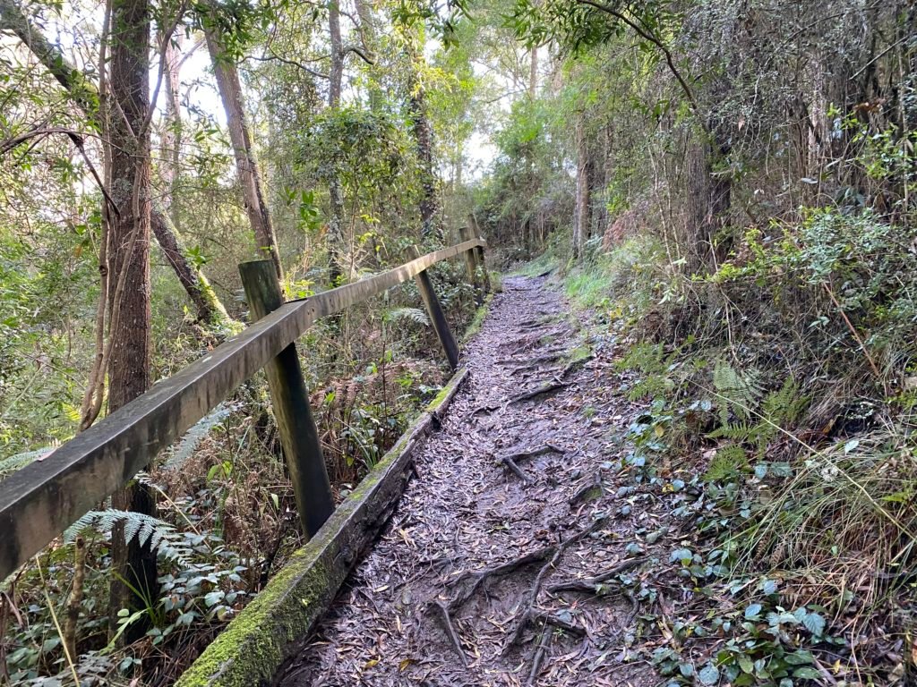
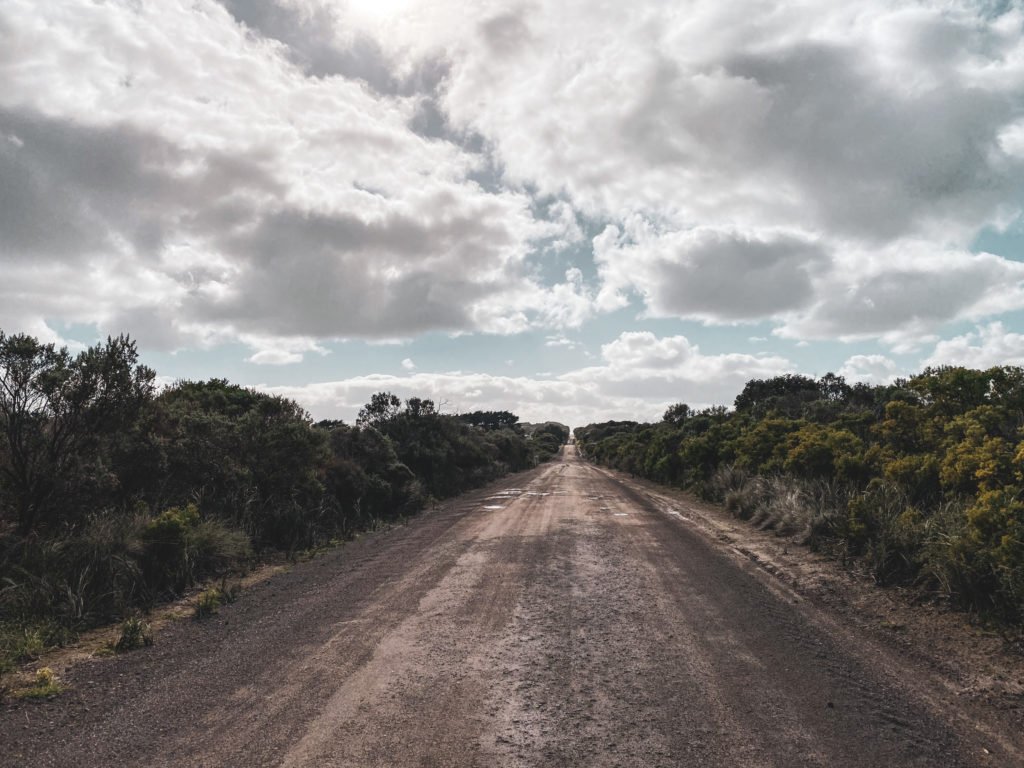
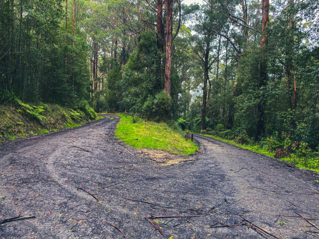
Expect about 3,478 m of climbing. The track data identifies roughly 56% unpaved and 35% paved, with 9% unspecified. This is a mixed-surface expedition, not a continuous traffic-free trail: the Great Ocean Road and connecting roads carry traffic, and quiet forest tracks can still be steep, muddy or difficult. Use low gearing and robust tyres around 45 mm or wider; a loaded mountain bike is also suitable. Red Carpet is graded intermediate. Allow time to walk difficult sections and carry warm, waterproof layers, repair supplies and offline navigation.
Timboon is around 41 km, Port Campbell 63 km, Lavers Hill 128 km, Beech Forest 170 km and Forrest 230 km. Check opening days and carry enough food and water to handle closed businesses, especially between Lavers Hill and Forrest. Camps at Port Campbell, Princetown, Johanna, Beauchamp Falls and Lake Elizabeth are optional spurs, not included campsite visits. Check bookings and access before committing to a daily itinerary; do not assume campsite water is drinkable. Train services and bicycle capacity need checking for both ends, including replacement-coach arrangements.
Access check: the rail-trail update dated 27 September 2026 warns of an upcoming closure between Merretts Road, Glenfyne, and Curdies River for Bridge 13 replacement. Confirm that section with the trail manager before departure and obey closures. Loch Ard Gorge beach steps are currently listed as closed; use only open signed lookouts. Check current forest, park, fire and road alerts, and the Twelve Apostles visitor-access arrangements, before setting out.
Route photos
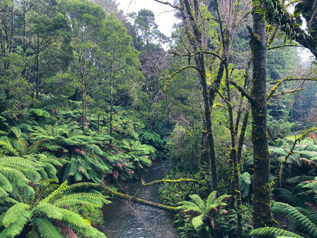
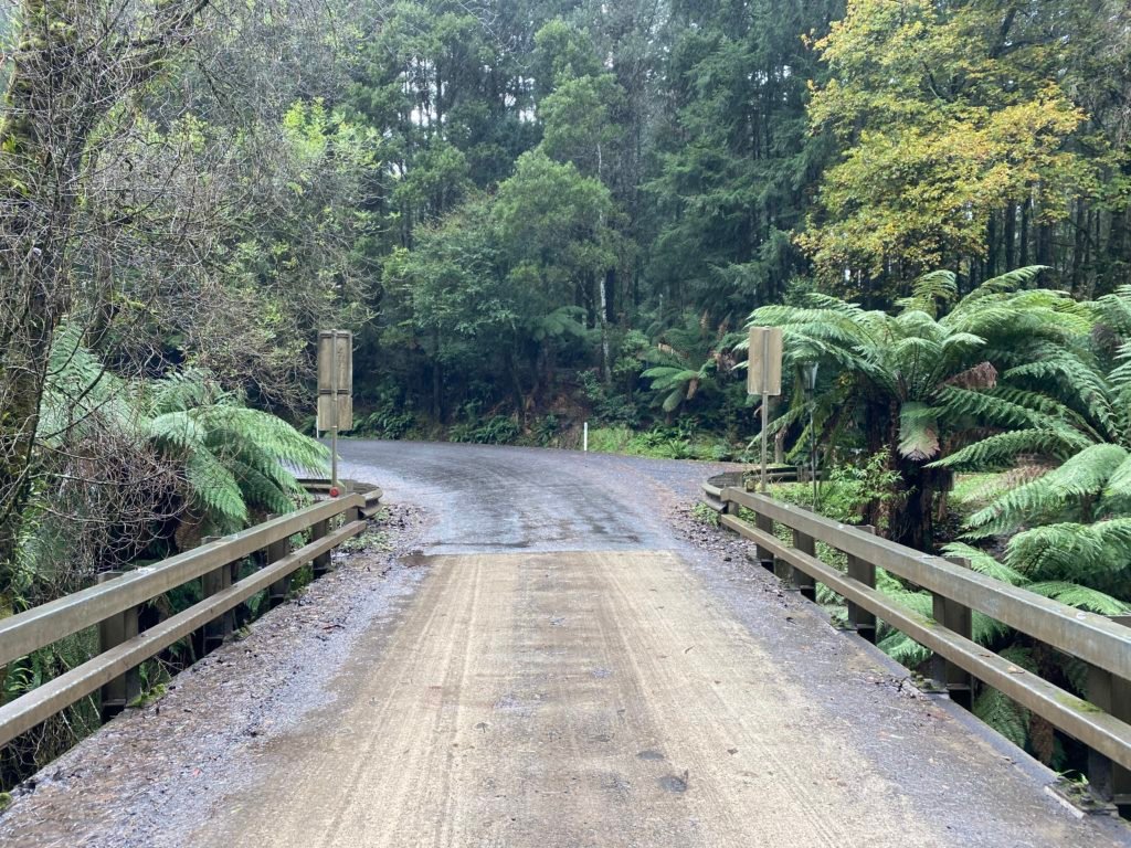
Photos
Community photos load after the main route details so the page can appear faster.
Reviews
Reviews load after the main route details so the page can appear faster.
Get the full experience in the app
