Bike Routes
Gariwerd Explorer
Loading map...
The route details are ready. The interactive map is loading separately.
Points of Interest
Points of interest load after the main route details so the page can appear faster.
Route Description
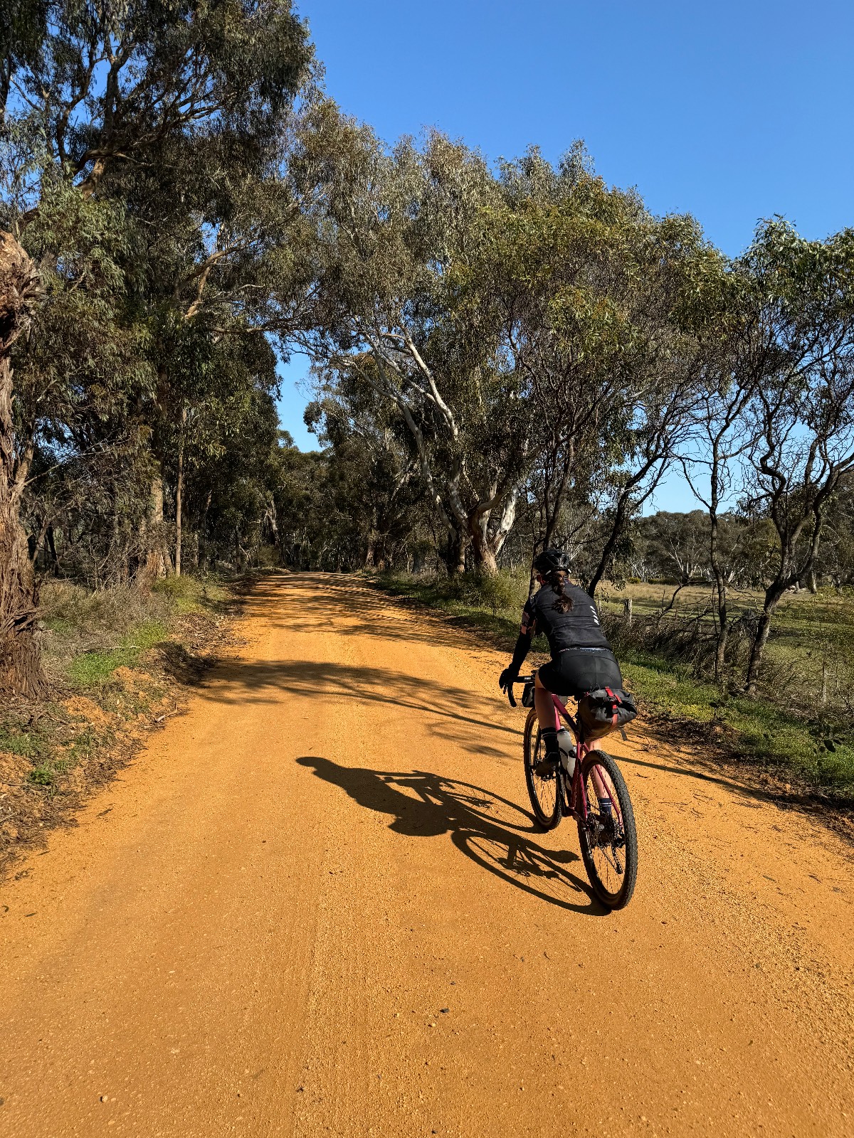
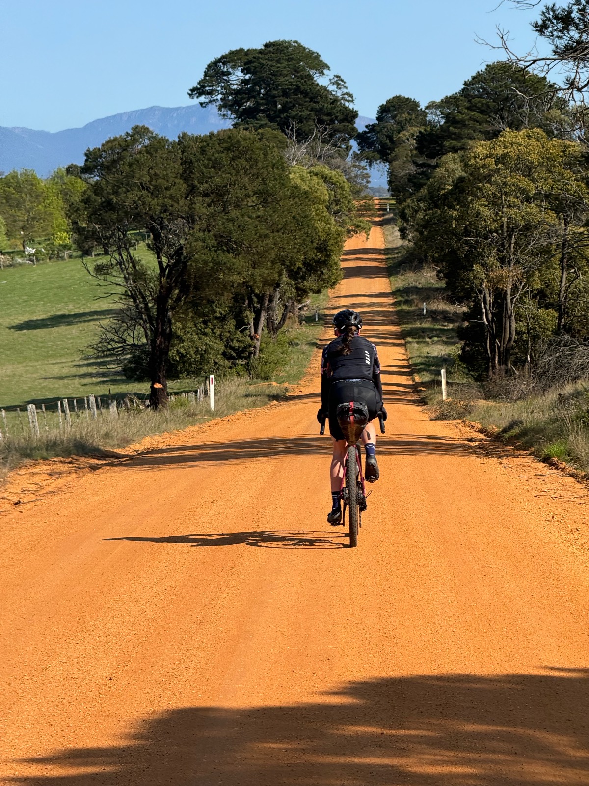
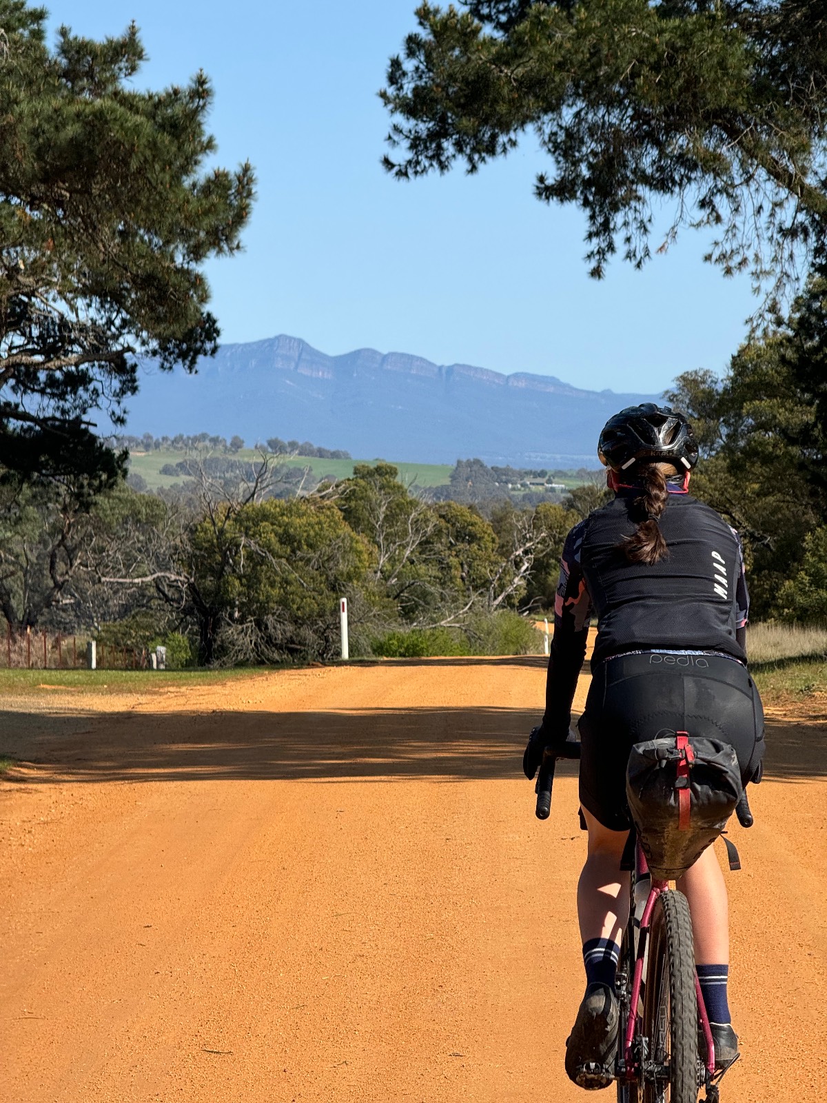
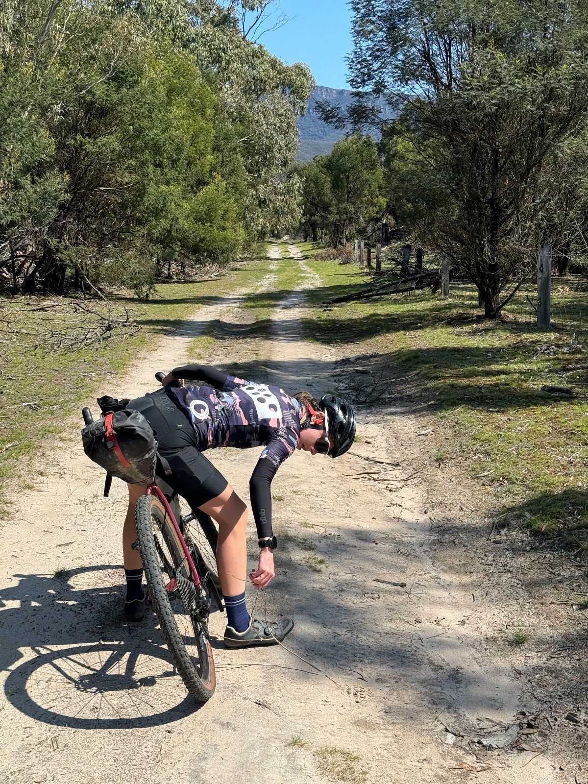
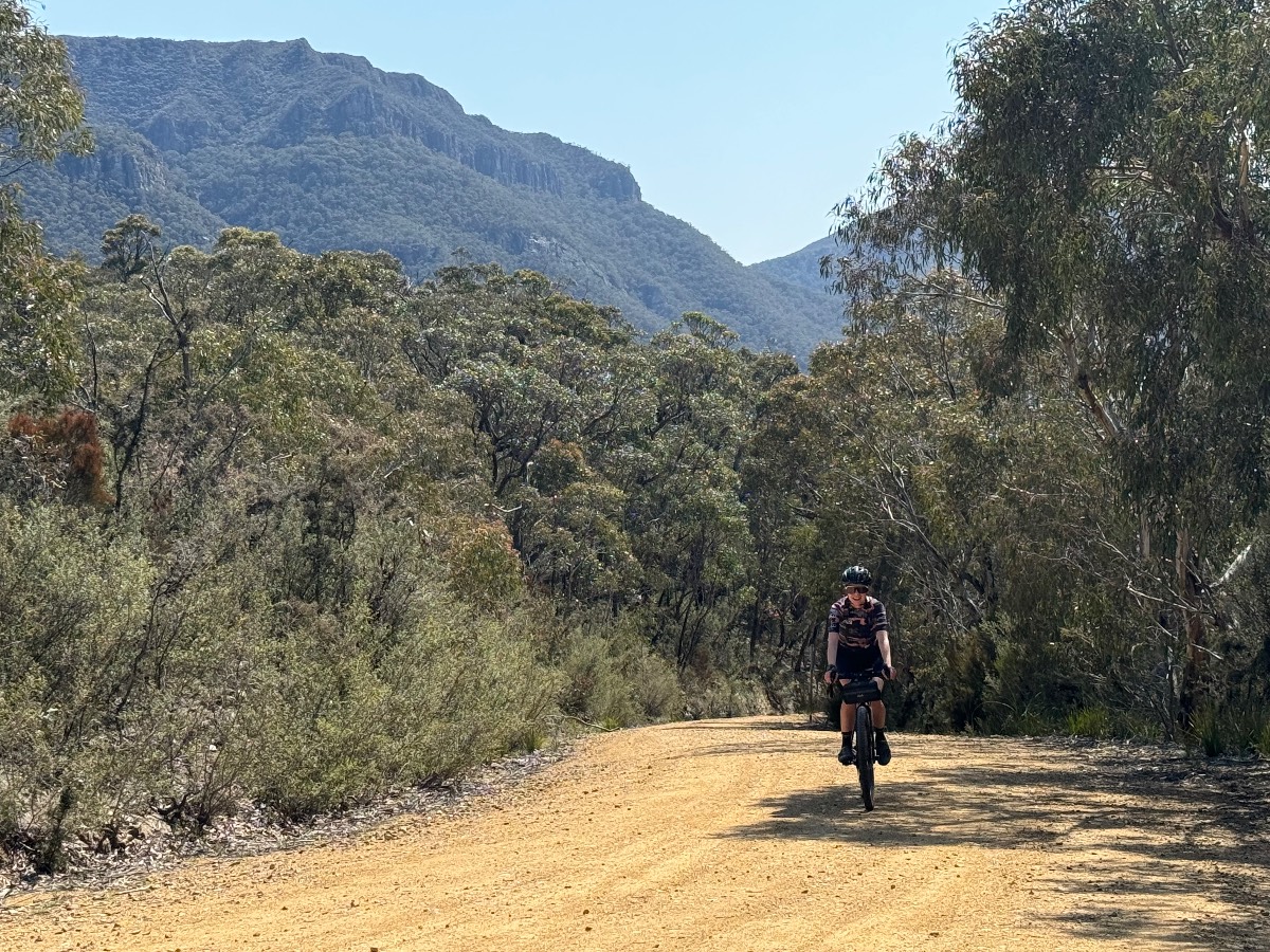
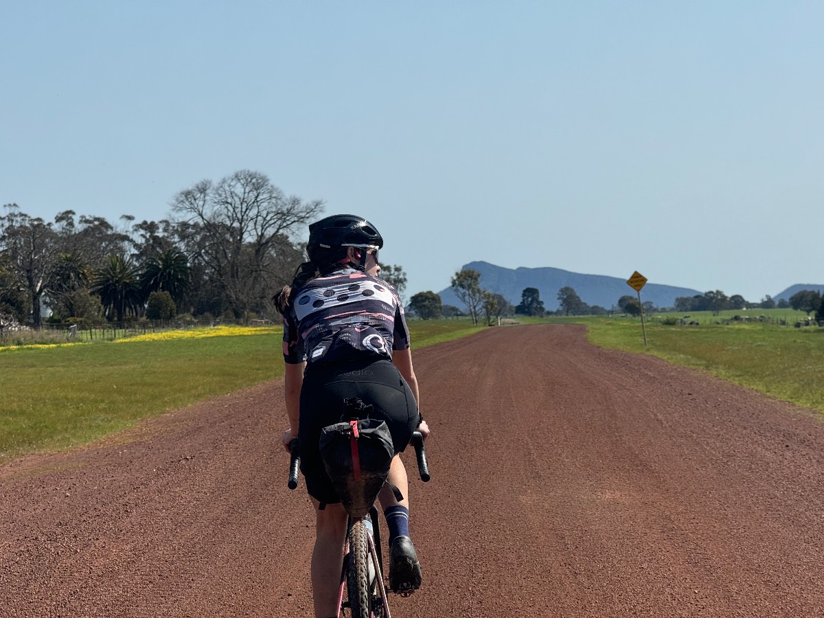
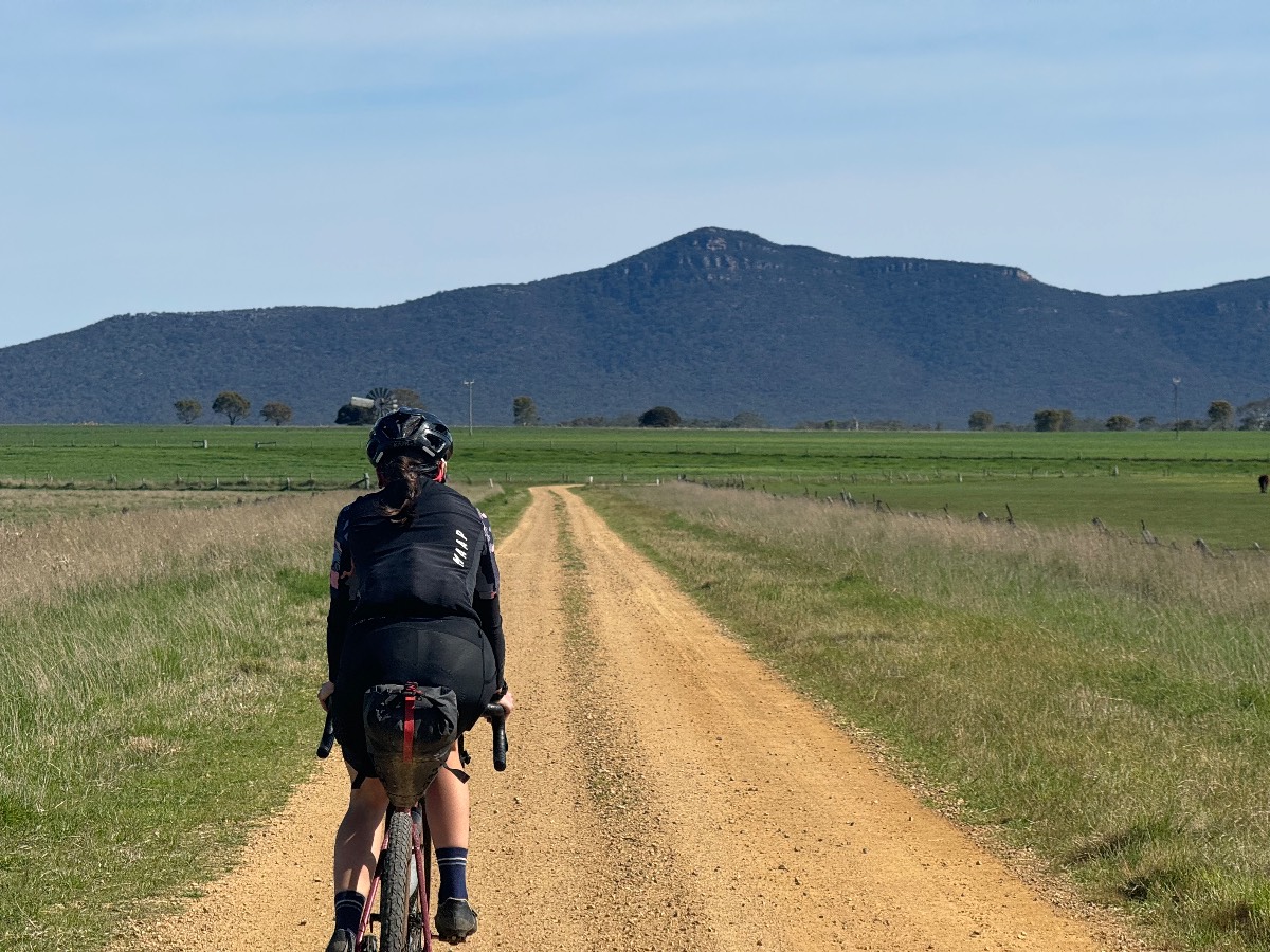
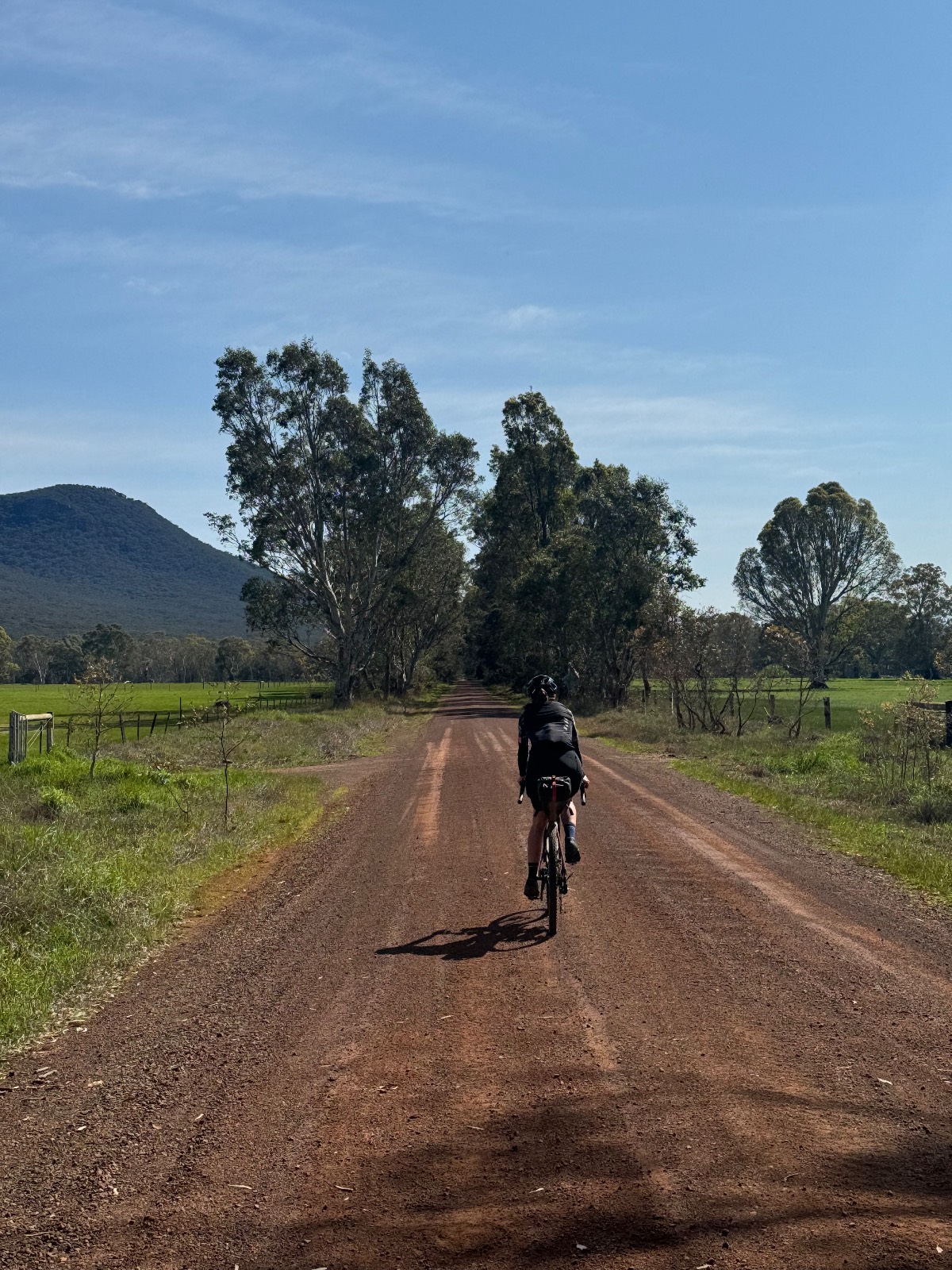
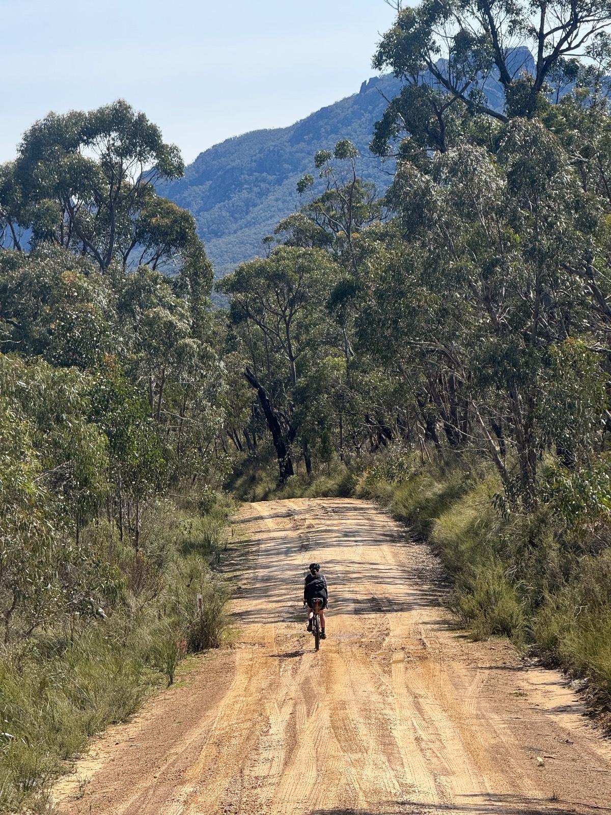
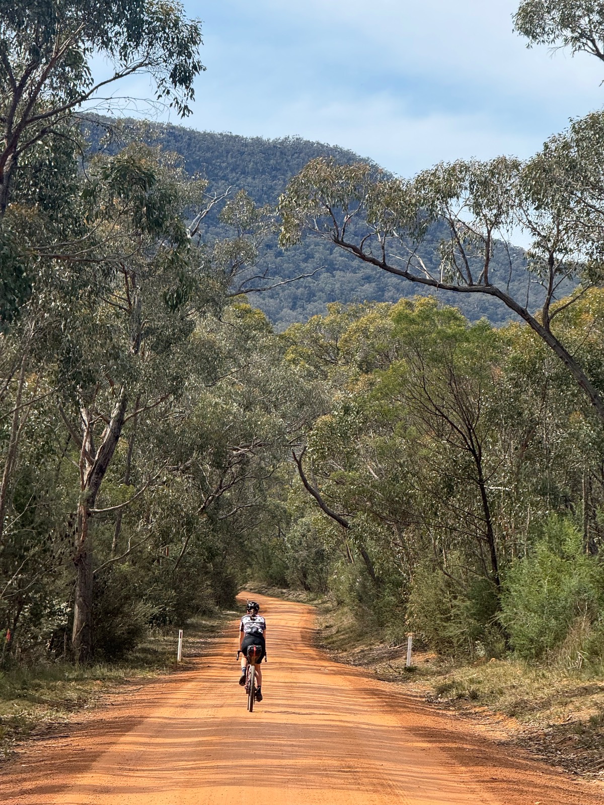
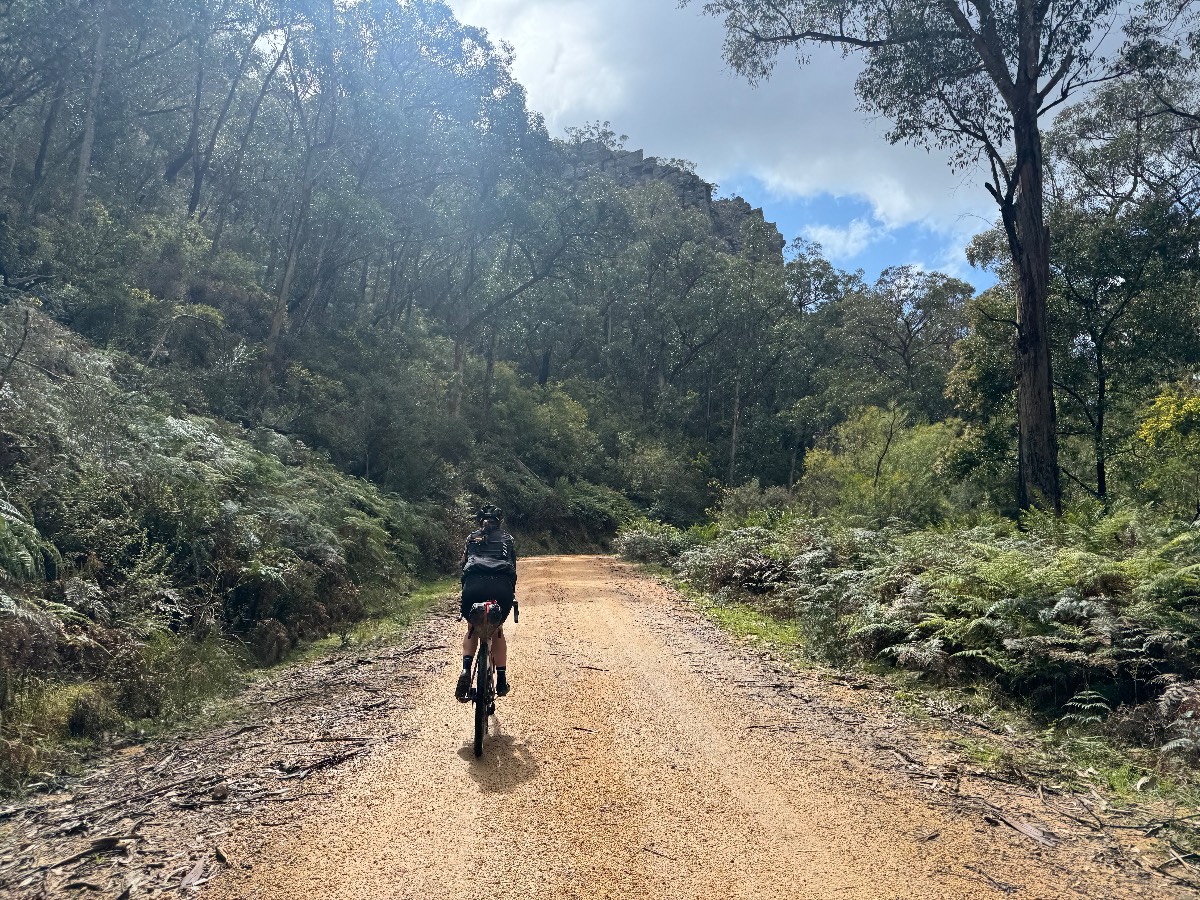
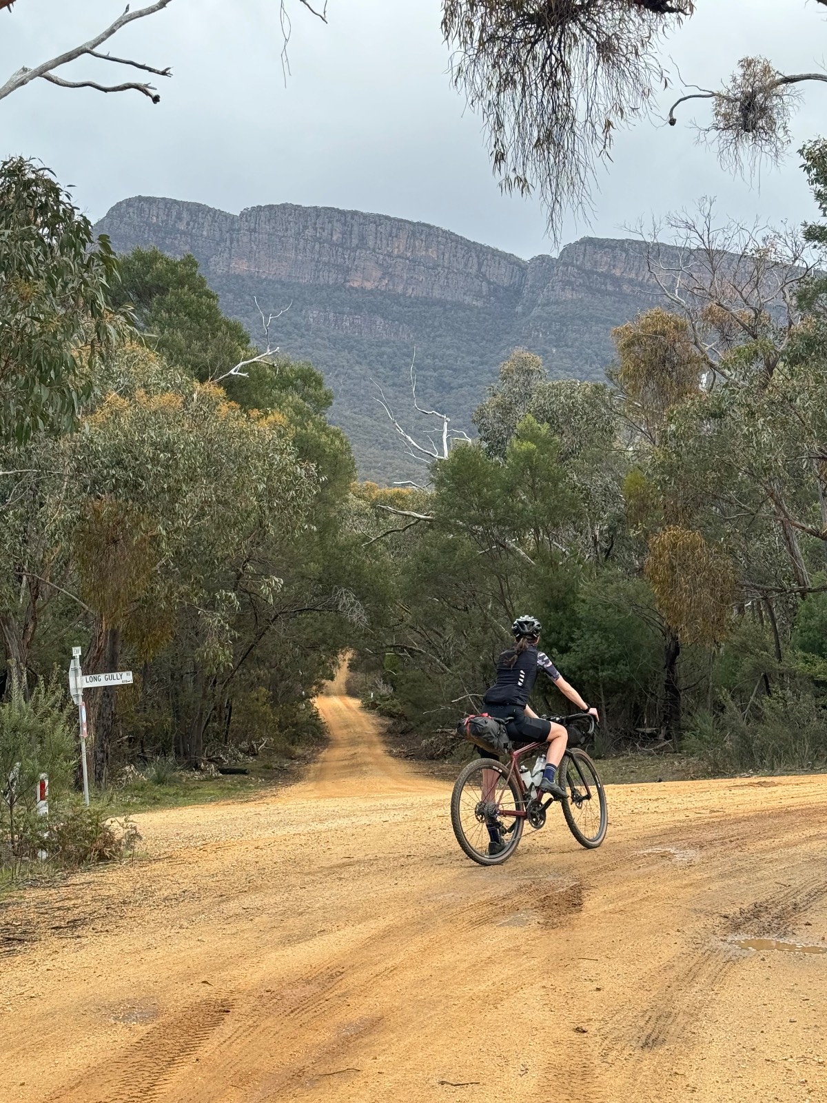
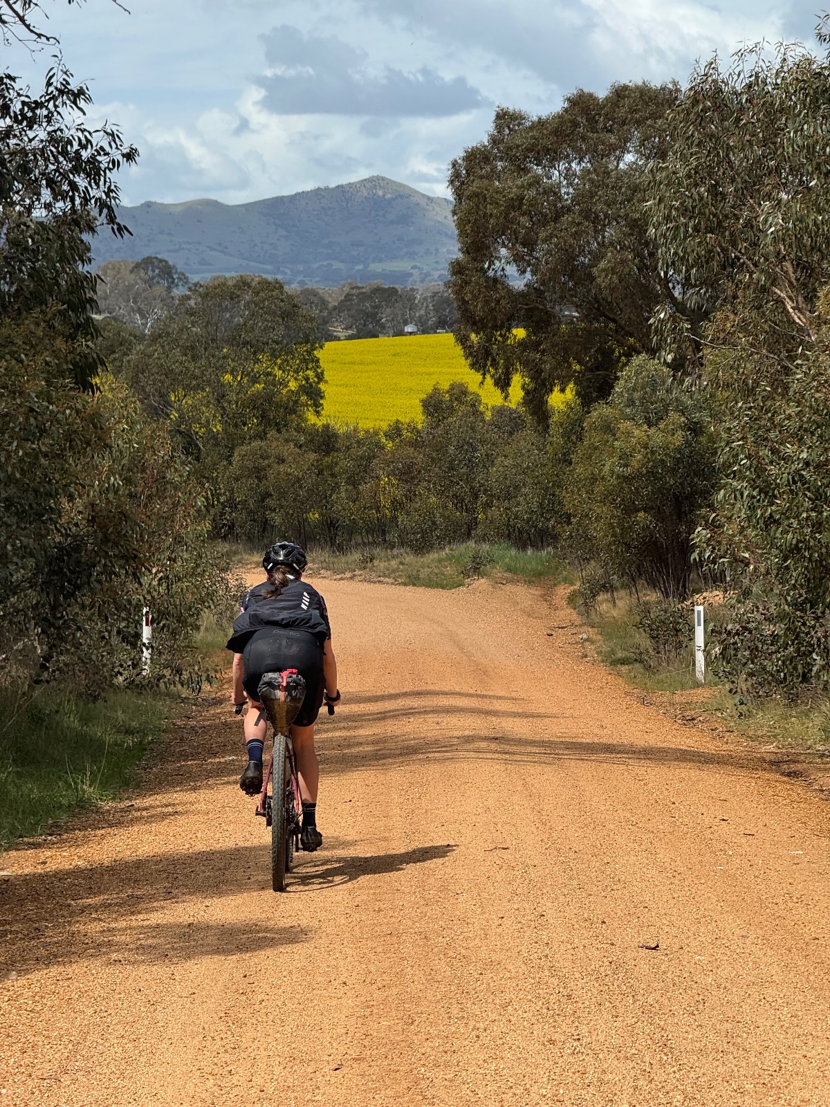
Gariwerd Explorer is mapped for a non-technical bikepacking (or flash-packing) experience through the Grampians on scenic, fast-flowing, gravel roads achievable on a gravel bike without suspension on anything upwards of 38mm tyres.
3 days is a good amount of time to complete the route with 97km from Ararat to Dunkeld, a further 88km into Halls Gap and then a shorter 52km back into Ararat. Expect around 1000m in elevation over the first two days and 750m for the third.
For those on a time schedule, you could certainly complete the route over two days with a large push on either day 1 or 2.
For those looking to take things a little more gentle, you can find Jimmy Creek Campground a few km's of-course from the 47km mark at Jimmy Creek Rd. There is also Strachans Campground, 38km after Dunkeld and Boreang Campground, a further 30km towards Halls Gap.
100% of the route is ridable, with approximately 70% of the route being on gravel or unpaved. You will find a few short km's of busier roads, mainly around Halls Gap.
There is one challenging climb on each section of the route, all around 5km in length (give or take), each involving steep grades. Without low gearing, there may be sections you choose to walk.
For a full write-up, view here: https://bike-routes.shorthandstories.com/gariwerd-explorer/index.html#group-section-FAQ-z6h7v9EiaQ
Route photos
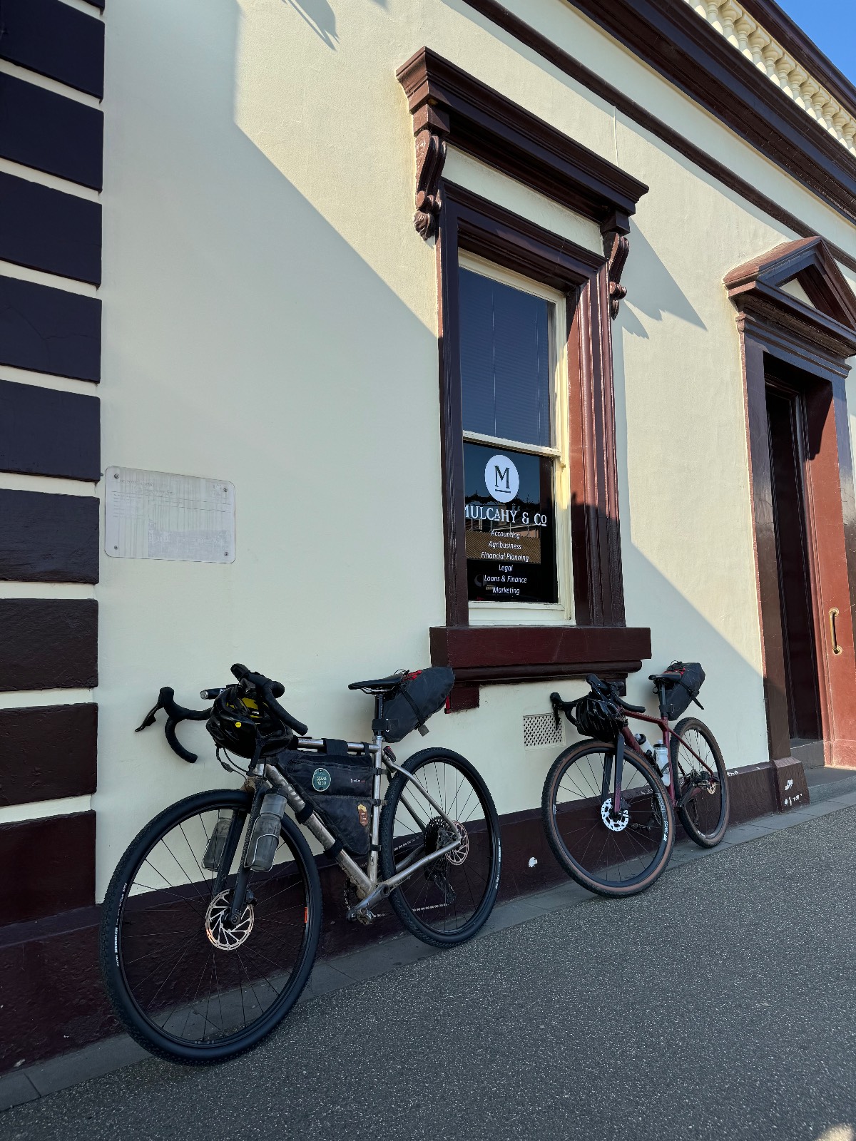
Photos
Community photos load after the main route details so the page can appear faster.
Reviews
Reviews load after the main route details so the page can appear faster.
Get the full experience in the app
